West Bellevue in King County, Washington — The American West (Northwest)
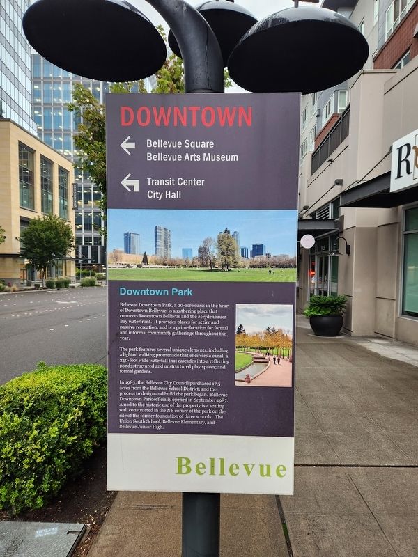
Downtown Park
Bellevue
Photographed by Douglass Halvorsen, August 23, 2024
1. Downtown Park Marker
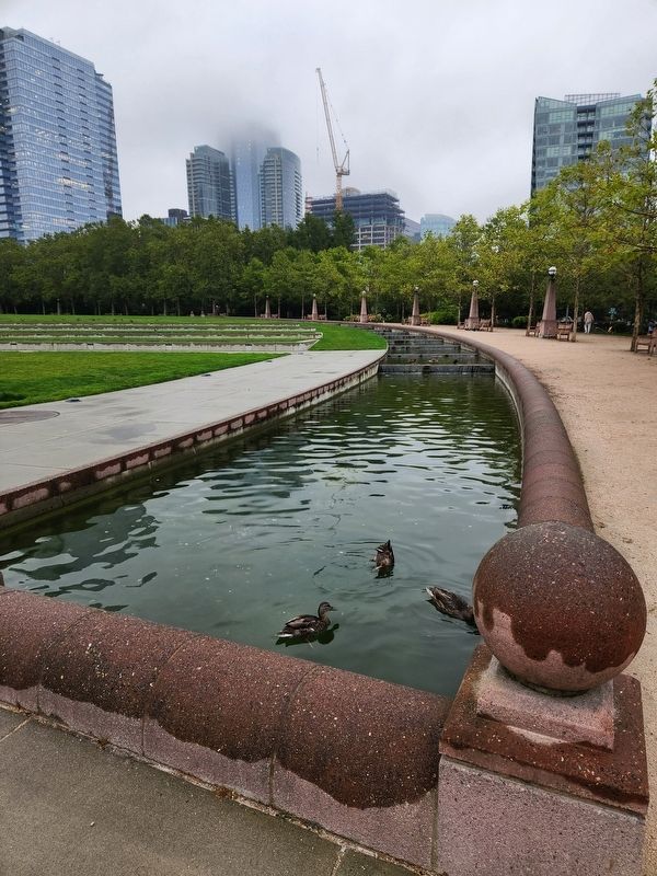
The park features several unique elements, including a lighted walking promenade that encircles a canal; a 240-foot wide waterfall that cascades into a reflecting pond; structured and unstructured play spaces; and formal gardens.
In 1983, the Bellevue City Council purchased 17.5 acres from the Bellevue School District, and the process to design and build the park began. Bellevue Downtown Park officially opened in September 1987. A nod to the historic use of the property is a seating wall constructed in the NE corner of the park on the site of the former foundation of three schools: The Union South School, Bellevue Elementary, and Bellevue Junior High.
Topics. This historical marker is listed in this topic list: Parks & Recreational Areas. A significant historical year for this entry is 1983.
Location. 47° 36.824′ N, 122° 12.084′ W.
this page online

Regionally, this marker is in the Puget Sound Region and in Greater Seattle. It is also on the American Pacific Coast, in the Pacific Northwest, and in the Lewis & Clark Corridor. Globally, it is in North America, in the Cascade Range, in the Inside Passage, on the Ring of Fire, on the Pacific Rim, in the Western Hemisphere, in the Western World, and in the Anglosphere.
Other nearby markers. At least 8 other markers are within 6 miles of this marker, measured as the crow flies: The Seattle Public Library (approx. 4.8 miles away); Martin Luther King, Jr. Memorial Park (approx. 4.9 miles away); 1890 Seattle Fire Department Bell (approx. 5.1 miles away); The Old Shell House (approx. 5.2 miles away); Japanese American Remembrance Garden (approx. 5.4 miles away); United Confederate Veterans Memorial
Photographed by Douglass Halvorsen, August 23, 2024
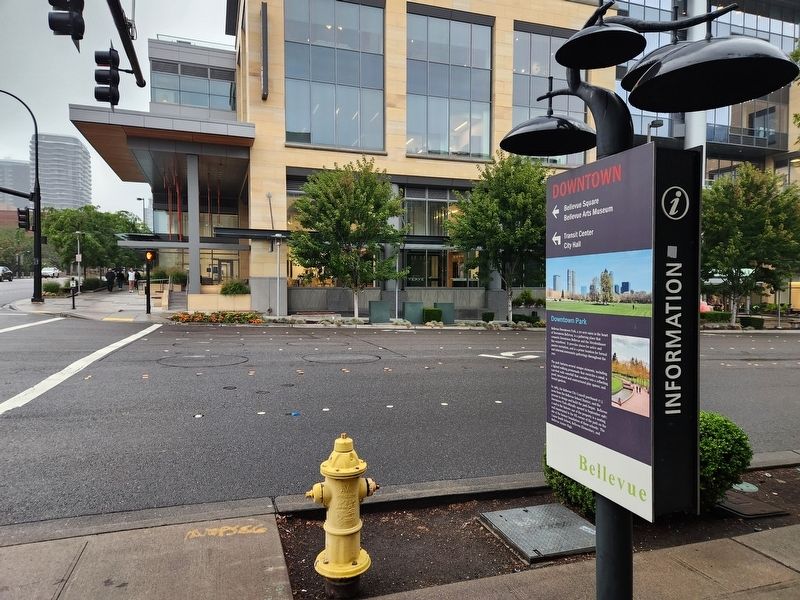
2. Downtown Park Marker
Photographed by Douglass Halvorsen, August 23, 2024
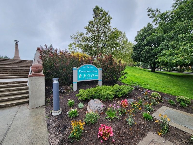
3. Bellevue Downtown Park
Photographed by Douglass Halvorsen, August 23, 2024
4. Bellevue Downtown Park
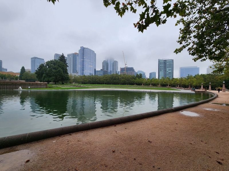
Photographed by Douglass Halvorsen, August 23, 2024
5. Bellevue Downtown Park
Credits. This page was last revised on July 25, 2025. It was originally submitted on February 10, 2025, by Douglass Halvorsen of Klamath Falls, Oregon. This page has been viewed 242 times since then and 43 times this year. Photos: 1, 2, 3, 4, 5. submitted on February 10, 2025, by Douglass Halvorsen of Klamath Falls, Oregon. • James Hulse was the editor who published this page.
