Perkins Cove in Ogunquit in York County, Maine — The American Northeast (New England)
Fisherman Christopher L. Linney
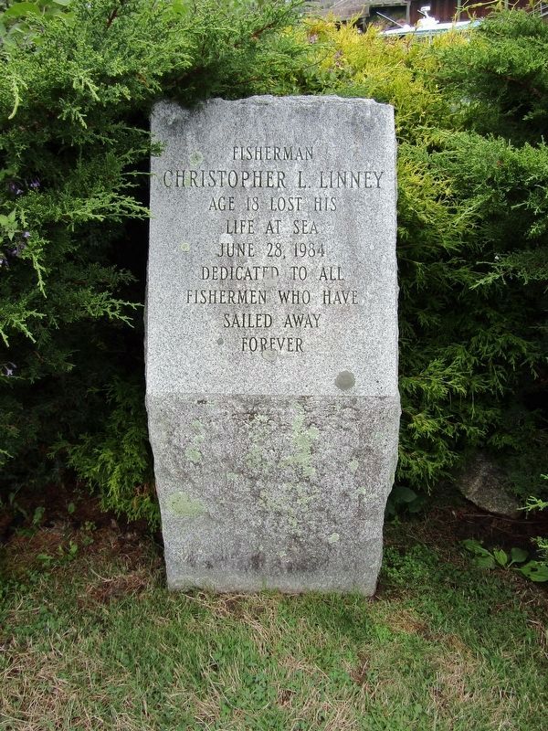
Photographed by Conrad Ward, August 18, 2024
1. Fisherman Christopher L. Linney Memorial
Age 18 lost his
life at sea
June 28, 1984
Dedicated to all
fishermen who have
sailed away
forever
Topics. This historical marker is listed in these topic lists: Industry & Commerce • Waterways & Vessels. A significant historical date for this entry is June 8, 1984.
Location. 43° 14.179′ N, 70° 35.439′ W. Marker is in Ogunquit, Maine, in York County. It is in Perkins Cove. It can be reached from Shore Road north of Pine Hill Road So., on the right when traveling north. Located next to the Perkins Cove footbridge. Touch for map. Marker is in this post office area: Ogunquit ME 03907, United States of America. Touch for directions.

Regionally, this marker is on Southern Maine Coast. It is also in the American Northeast, in New England, and on the Eastern Seaboard. Globally, it is in the North Atlantic Region, North America, the Western Hemisphere, the Western World, and the Anglosphere.
Other nearby markers. At least 8 other markers are within 6 miles of this marker, measured as the crow flies: Marginal Way Restoration Monument (approx. half a mile away); Lobster Point Lighthouse (approx. half a mile away); David von Schlegell
this page online

Photographed by Conrad Ward, August 18, 2024
2. Fisherman Christopher L. Linney Memorial

Photographed by Conrad Ward, August 18, 2024
3. Fisherman Christopher L. Linney Memorial
and the Perkins Cove Footbridge
and the Perkins Cove Footbridge
Credits. This page was last revised on February 15, 2025. It was originally submitted on February 12, 2025, by Conrad Ward of Guilford, Connecticut. This page has been viewed 182 times since then and 48 times this year. Photos: 1, 2, 3. submitted on February 12, 2025, by Conrad Ward of Guilford, Connecticut. • Michael Herrick was the editor who published this page.
