Morrison in Jefferson County, Colorado — The American Mountains (Southwest)
Red Rocks Trading Post
Photographed by Conrad Ward, August 25, 2024
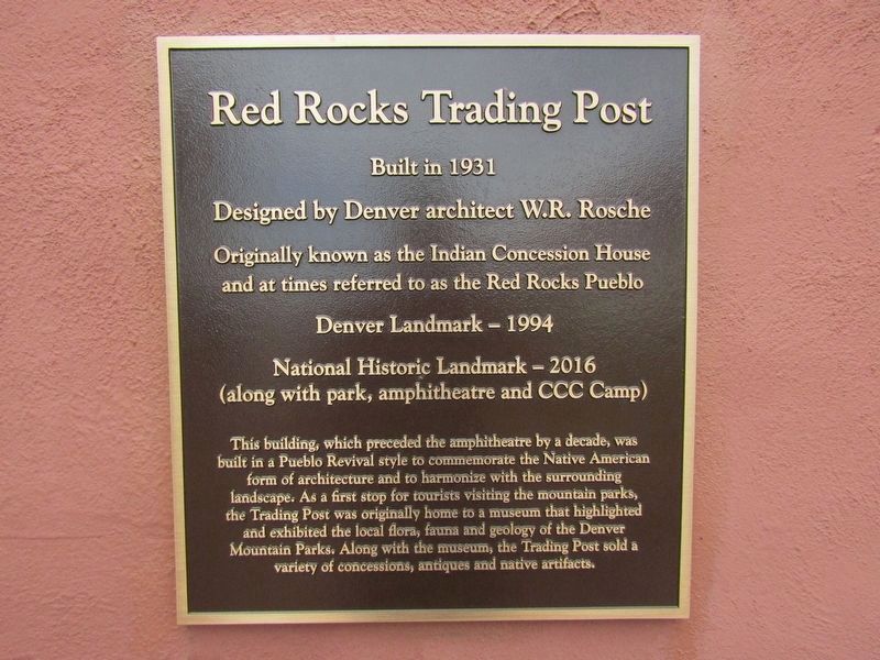
1. Red Rocks Trading Post Marker
Built in 1931
Designed by Denver architect W.R. Rosche
Originally known as the Indian Concession House and at times referred to as the Red Rocks Pueblo
Denver Landmark - 1994
National Historic Landmark - 2016
(along with park, amphitheatre and CCC Camp)
This building, which preceded the amphitheatre by a decade, was built in a Pueblo Revival style to commemorate the Native American form of architecture and to harmonize with the surrounding landscape. As a first stop for tourists visiting the mountain parks, the Trading Post was originally home to a museum that highlighted and exhibited the local flora, fauna and geology of the Denver Mountain Parks. Along with the museum, the Trading Post sold a variety of concessions, antiques and native artifacts.
Topics and series. This historical marker is listed in these topic lists: Architecture • Indigenous Peoples and Communities • Industry & Commerce. In addition, it is included in the National Historic Landmarks series list. A significant historical year for this entry is 1931.
Location. 39° 39.841′ N, 105° 12.178′ W. Marker is in Morrison, Colorado, in
this page online

Regionally, this marker is in the Front Range. It is also in the American Mountain West. Globally, it is in North America, the Rocky Mountains, the Western Hemisphere, the Western World, and the Anglosphere. Historically, it finds itself in what was once the Louisiana Purchase.
Other nearby markers. At least 8 other markers are within one mile of this marker, measured as the crow flies: Red Rocks Park (within shouting distance of this marker); The Naming of Rocks (approx. ¼ mile away); Red Rocks Amphitheatre (approx. 0.3 miles away); Historic Incinerator: We've Come A Long Way (approx. 0.4 miles away); Front Range Foothills (approx. 0.6 miles away); Cretaceous Time (approx. one mile away); The Rocky Mountains (approx. one mile away); Volcanic Ash (approx. 1.1 miles away). Touch for a list and map of all markers in Morrison.
Photographed by Conrad Ward, August 25, 2024
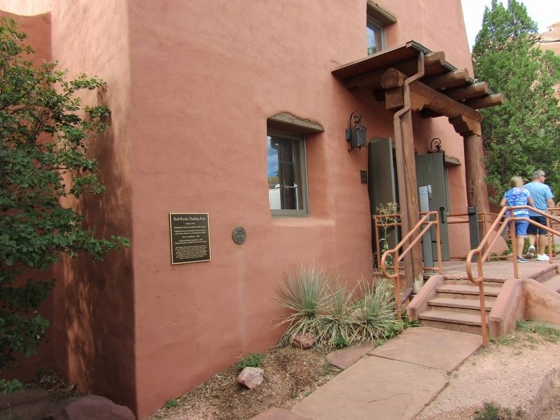
2. Red Rocks Trading Post Marker
Photographed by Conrad Ward, August 25, 2024
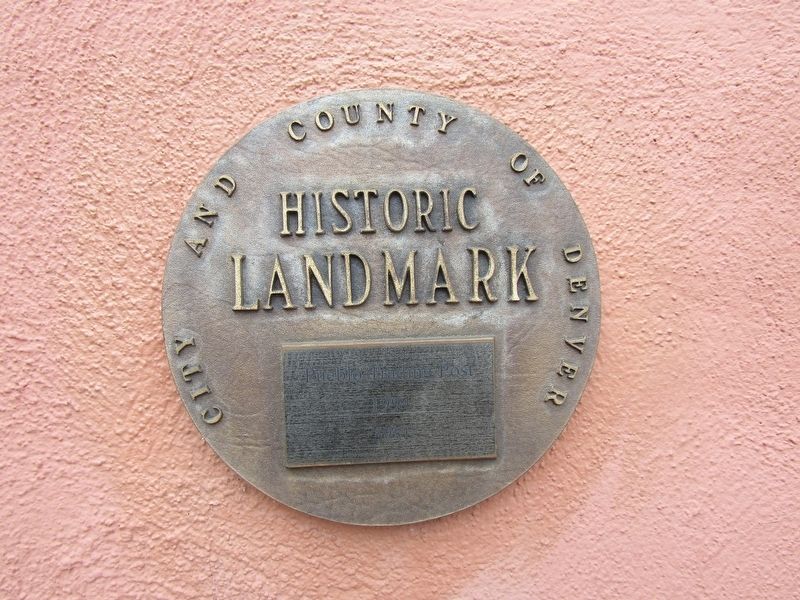
3. Historic Landmark marker
Photographed by Conrad Ward, August 25, 2024
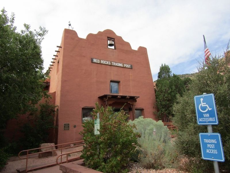
4. Red Rocks Trading Post
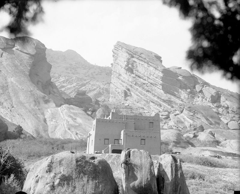
Harry Rhoads courtesy Denver Public Library, circa 1935
5. Indian Concession House
“View of the adobe style concession house and sandstone cliffs at Red Rocks Park in Morrison, Colorado. The concession stand was the only structure in Red Rocks Park until the 1941 dedication.”
Credits. This page was last revised on February 14, 2025. It was originally submitted on February 13, 2025, by Conrad Ward of Guilford, Connecticut. This page has been viewed 222 times since then and 44 times this year. Photos: 1, 2, 3, 4. submitted on February 13, 2025, by Conrad Ward of Guilford, Connecticut. 5. submitted on February 14, 2025. • Andrew Ruppenstein was the editor who published this page.
