
Old Bend in Deschutes County, Oregon — The American West (Northwest)
Klondike Kate
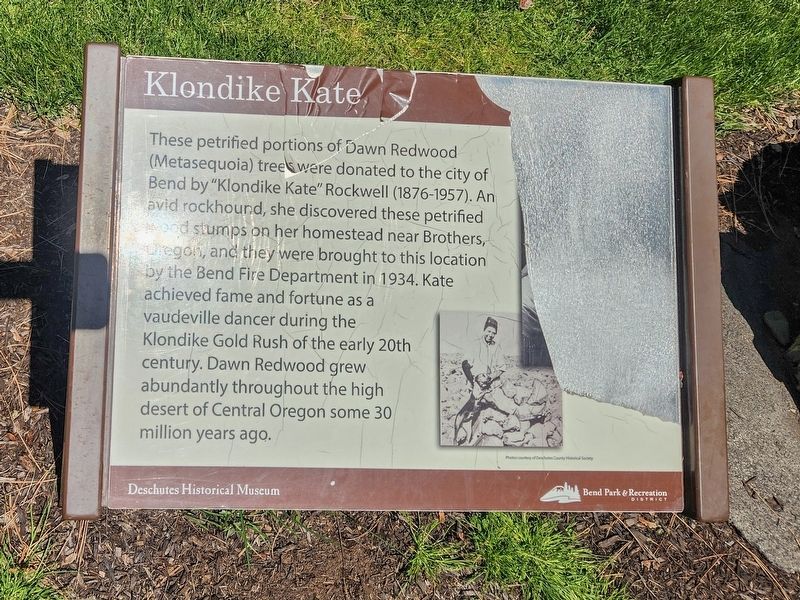
Photographed by Douglass Halvorsen, May 27, 2024
1. Klondike Kate Marker
Erected by Deschutes Historical Museum.
Topics. This historical marker is listed in this topic list: Natural Features. A significant historical year for this entry is 1934.
Location. 44° 3.571′ N, 121° 19.081′ W. Marker is in Bend, Oregon, in Deschutes County. It is in Old Bend. It can be reached from Northwest Riverside Boulevard. Touch for map. Marker is at or near this postal address: 924 NW Riverside Blvd, Bend OR 97703, United States of America. Touch for directions.

Regionally, this marker is in Oregon’s High Desert. It is also in the American Mountain West and in the Lewis & Clark Corridor.
this page online
Other nearby markers. At least 8 other markers are within walking distance of this marker: Frank T. Johns Landmark (within shouting distance of this marker); Frank T. Johns (within shouting distance of this marker); Horses and High Wheels (within shouting distance of this marker); Bend School Landmark (within shouting distance of this marker); Pioneer Homesite (about 400 feet away, measured in a direct line); Clyde McKay Landmark (about 400 feet away); Founding of Bend (about 700 feet away); A.M. Drake Homesite (about 700 feet away). Touch for a list and map of all markers in Bend.
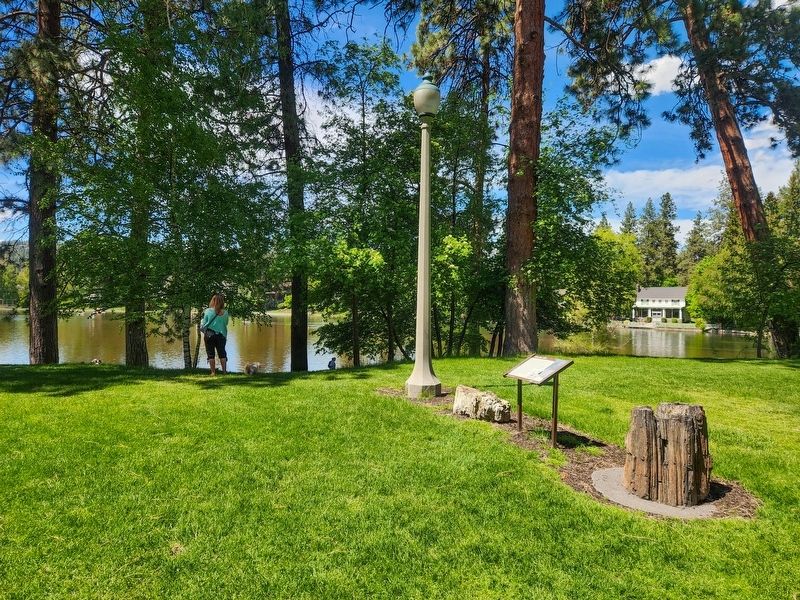
Photographed by Douglass Halvorsen, May 27, 2024
2. Klondike Kate Marker
Credits. This page was last revised on February 18, 2025. It was originally submitted on February 17, 2025, by Douglass Halvorsen of Klamath Falls, Oregon. This page has been viewed 143 times since then and 28 times this year. Photos: 1, 2. submitted on February 17, 2025, by Douglass Halvorsen of Klamath Falls, Oregon. • James Hulse was the editor who published this page.
