Rutherfordton in Rutherford County, North Carolina — The American South (South Atlantic)
Green River Plantation
Unwelcome Guests
| — | Stoneman's Raid | — |
Photographed by Don Morfe, August 19, 2014
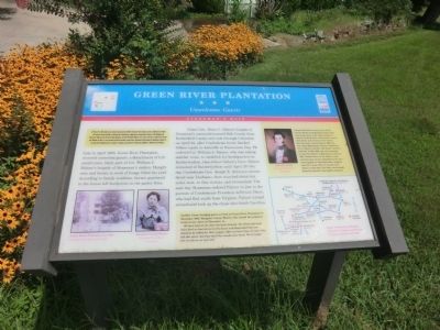
1. Green River Plantation Marker
On March 24, 1865, Union Gen. George Stoneman led 6,000 cavalrymen from Tennessee into southwestern Virginia and western North Carolina to disrupt the Confederate supply line by destroying sections of the Virginia and Tennessee Railroad, the North Carolina Railroad, and the Piedmont Railroad. He struck at Boone on March 28, headed into Virginia on April 2, and returned to North Carolina a week later. Stoneman’s Raid ended at Asheville on April 26, the day that Confederate Gen. Joseph E. Johnston surrendered to Union Gen. William T. Sherman near Durham.
Late in April 1865, Green River Plantation received uninvited guests: a detachment of U.S. cavalrymen, likely part of Col. William J. Palmer’s brigade of Stoneman’s raiders. Hungry men and horses in need of forage filled the yard. According to family tradition, horses quartered in the house left footprints in the parlor floor.
Union Gen. Alvan C. Gillem’s brigade of Stoneman’s command entered Polk County from Rutherford County and rode through Columbus on April 22, after Confederate forces blocked Gillem’s path to Asheville at Swannanoa Gap. He ordered Col. William
this page online
[Sidebar:]
Another Union foraging party arrived at Green River Plantation in November 1863. Margaret Carson Weaver, who owned the property, wrote to her niece on November 14,
We have had at our door the devil himself. The (Federals) took what food we had stored in the house and demanded that our chickens be killed for their supper. After no more than an hour they left his place, but they said they would come back. We no longer feel as safe as we once did.
Joseph McDowell Carson, born at the Carson House in McDowell County, built this house early in the 19th century. It reflects Federal-style architecture remodeled about mid-century in the Greek Revival style. Carson died in 1860. His son, John Montazuma Carson, enlisted in Co. B (Butler Guards), 2nd South Carolina Infantry in May 1861 and was wounded in the First Battle of Manassas on July 21, 1861. Within hours of the battle, trains carried many of the casualties to the general hospital in Charlottesville, Virginia. John M. Carson died of wounds there about a week later; his body was brought home for burial in the family cemetery.
Erected by North
Photographed by Don Morfe, August 19, 2014
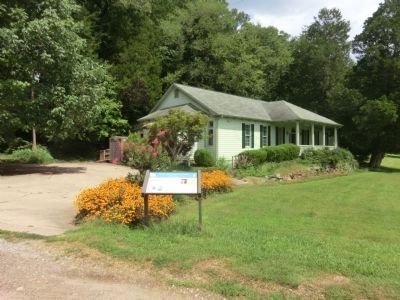
2. Green River Plantation Marker in front of a private residence
Topics and series. This historical marker is listed in this topic list: War, US Civil. In addition, it is included in the North Carolina Civil War Trails series list. A significant historical month for this entry is March 1731.
Location. Marker has been reported missing. It was located near 35° 17.085′ N, 82° 1.194′ W. Marker was in Rutherfordton, North Carolina, in Rutherford County. It was on Coxe Road (County Route 1005) 0.4 miles east of River Crest Parkway, on the left when traveling east. Touch for map. Marker was at or near this postal address: 6333 Coxe Road, Rutherfordton NC 28139, United States of America. Touch for directions.

Regionally, this marker was in North Carolina’s Mountains. It was also in the American South, specifically in the Upper South, in Appalachia, and specifically in Southern Appalachia. Globally, it was in North America, the Western Hemisphere, the Western World, and the Anglosphere. Historically, it found itself in what was once the territory of the Mississippian Culture, one of the original Thirteen Colonies, one of the Confederate States of America, and the Antebellum
Photographed by Don Morfe, August 19, 2014
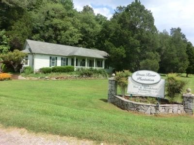
3. Green River Plantation entrance sign
Other nearby markers. At least 8 other markers are within 7 miles of this location, measured as the crow flies: A different marker also named Green River Plantation (a few steps from this marker); Overmountain Men (approx. 3.7 miles away); Rutherfordton (approx. 6.7 miles away); Tryon's March (approx. 6.8 miles away); North Carolina / South Carolina (approx. 6.8 miles away); Ibra Charles Blackwood (approx. 6.8 miles away in South Carolina); Stoneman's Raid (approx. 6.8 miles away); Rutherford County (approx. 6.8 miles away). Touch for a list and map of all markers in Rutherfordton.
Regarding Green River Plantation. Spoke with two employees at the Green River Plantation, who said the Civil War Trails had been hit by vehicles twice. They were unsure when a new marker would be installed.
Photographed by Don Morfe, August 19, 2014
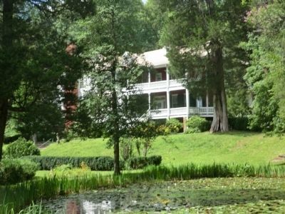
4. Green River Plantation Mansion-side view
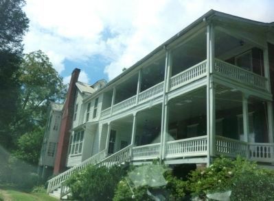
Photographed by Don Morfe, August 19, 2014
5. Green River Plantation Mansion-front view
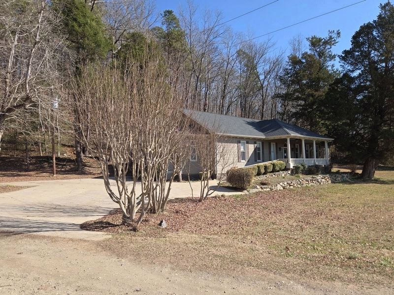
Photographed by Mark Parker, February 7, 2025
6. Green River Plantation Marker location
Credits. This page was last revised on February 19, 2025. It was originally submitted on September 24, 2014, by Don Morfe of Baltimore, Maryland. This page has been viewed 1,480 times since then and 63 times this year. Last updated on February 19, 2025, by Mark Parker of Hickory, North Carolina. Photos: 1, 2, 3, 4, 5. submitted on September 24, 2014, by Don Morfe of Baltimore, Maryland. 6. submitted on February 19, 2025, by Mark Parker of Hickory, North Carolina. • Devry Becker Jones was the editor who published this page.
