
Jefferson in Marion County, Texas — The American South (West South Central)
1897 Howe Truss Train Trestle
Photographed by Brian Anderson, February 15, 2025
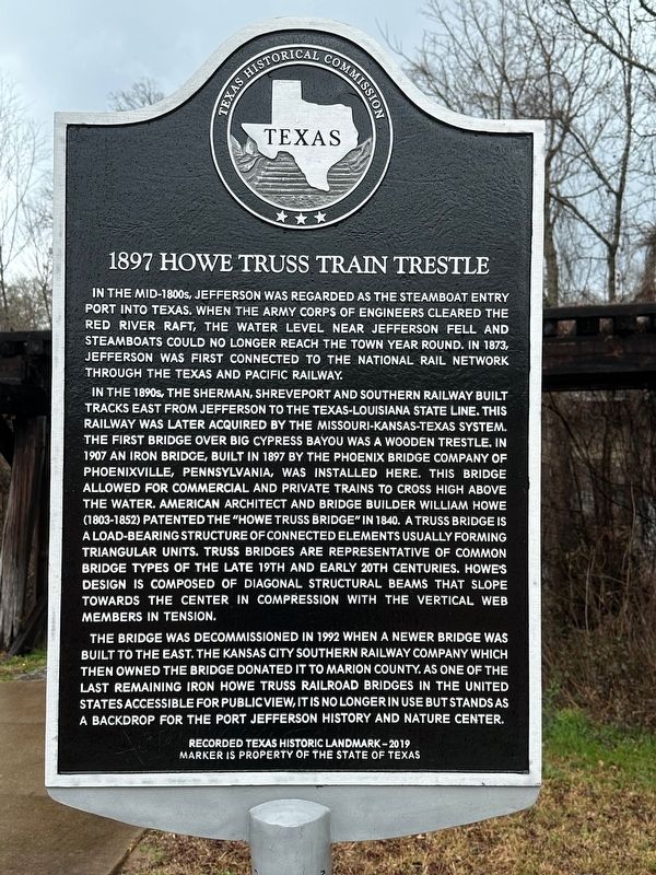
1. 1897 Howe Truss Train Trestle Marker
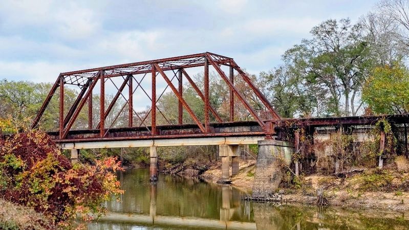
In the 1890s, the Sherman, Shreveport and Southern Railway built tracks east from Jefferson to the Texas-Louisiana state line. This railway was later acquired by the Missouri-Kansas-Texas system. The first bridge over Big Cypress Bayou was a wooden trestle. In 1907, an iron bridge, built in 1897 by the Phoenix Bridge Company of Phoenixville, Pennsylvania, was installed here, allowing for commercial and private trains to cross high above the water. American architect and bridge builder William Howe (1803-1852) patented the “Howe Truss Bridge” in 1840. A truss bridge is a load-bearing structure of connected elements usually forming triangular units. Truss bridges are representative of common bridge types of the late 19th and early 20th centuries. Howe’s design is composed of diagonal
this page online
The bridge was decommissioned in 1992 when a newer bridge was built to the east. The Kansas City Southern Railway Company, which then owned the bridge, donated it to Marion County. As one of the last remaining iron Howe truss railroad bridges in the United States accessible for public view, it is no longer in use, but remains as a backdrop for the Port Jefferson History and Nature Center.
Erected 2019 by Texas Historical Commission. (Marker Number 22541.)
Topics. This historical marker is listed in these topic lists: Bridges & Viaducts • Railroads & Streetcars. A significant historical year for this entry is 1873.
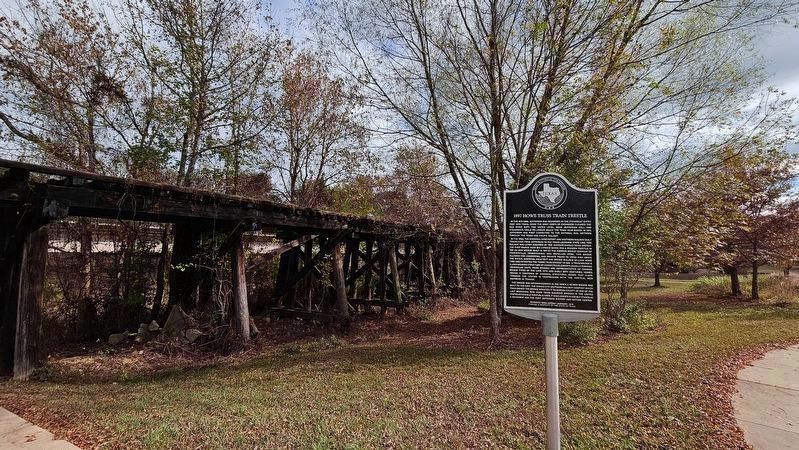
Location. 32° 45.387′ N, 94° 20.57′ W. Marker is in Jefferson, Texas, in Marion County. It is on South Polk Street (Farm to Market Road 134) near East Dallas Street, on the right when traveling north. Marker is located in the Port Jefferson History & Nature Center park. Touch for map. Marker is at or near this postal address: 500 E Broadway St, Jefferson TX 75657, United
Photographed by Joe Lotz, November 23, 2025
2. 1897 Howe Truss Train Trestle Marker Location

Regionally, this marker is in the American South, specifically in the Deep South, and in the Piney Woods. Globally, it is in North America, a Gulf of Mexico state, the Western Hemisphere, the Western World, and the Anglosphere. Historically, it finds itself in what was once New Spain, the Republic of Texas, one of the Confederate States of America, and the Antebellum South.
Other nearby markers. At least 8 other markers are within walking distance of this marker: Jefferson Turn Basin (within shouting distance of this marker); Marion County (about 400 feet away, measured in a direct line); Marion County Confederate Monument (about 400 feet away); Texas Statesman Charles Allen Culberson (about 500 feet away); Marion County Courthouse (about 500 feet away); Murphy Building (about 600 feet away); Vernon Dalhart (about 700 feet away); Kahn Saloon (about 700 feet away). Touch for a list and map of all markers in Jefferson.
Photographed by Joe Lotz, November 23, 2025
3. 1897 Howe Truss Train Trestle
Photographed by Brian Anderson, February 15, 2025
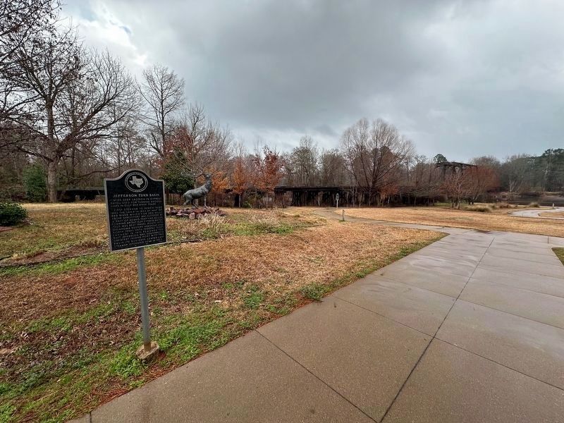
4. 1897 Howe Truss Train Trestle Marker
Marker is visible in the background of this photo. The marker in the foreground is the nearby Jefferson Turn Basin marker.

Photographed by Brian Anderson, February 15, 2025
5. 1897 Howe Truss Train Trestle
Credits. This page was last revised on November 30, 2025. It was originally submitted on February 20, 2025, by Brian Anderson of New Albany, Ohio. This page has been viewed 687 times since then and 176 times this year. Photos: 1. submitted on February 20, 2025, by Brian Anderson of New Albany, Ohio. 2. submitted on November 29, 2025, by Joe Lotz of Flower Mound, Texas. 3. submitted on November 30, 2025, by Joe Lotz of Flower Mound, Texas. 4, 5. submitted on February 20, 2025, by Brian Anderson of New Albany, Ohio.
