Harmony Hill in Rusk County, Texas — The American South (West South Central)
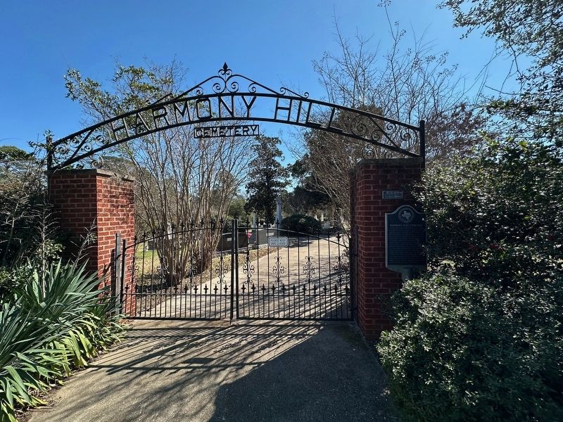
Harmony Hill Cemetery

Photographed by Brian Anderson, February 17, 2025
1. Harmony Hill Cemetery Marker
Erected 1988 by Texas Historical Commission. (Marker Number 11001.)
Topics. This historical marker is listed in this topic list: Cemeteries & Burial Sites.
Location. 32° 16.848′ N, 94° 33.994′ W. Marker is in Harmony Hill, Texas, in Rusk County. It is at the intersection of County Road 2183 and County Road 2181D, on the right when traveling east on County Road 2183. Touch for map. Marker is in this post office area: Tatum TX 75691, United States of America. Touch for directions.

Regionally, this marker is in
this page online
Other nearby markers. At least 8 other markers are within 7 miles of this marker, measured as the crow flies: Martin Cemetery (approx. 1.9 miles away); Grant Cemetary (approx. 1.9 miles away); Tatum Cemetery (approx. 3½ miles away); Trammel's Trace (approx. 3.6 miles away); Town of Tatum (approx. 3.8 miles away); Sugar Hill Cemetery (approx. 4.6 miles away); Beckville United Methodist Church (approx. 6.8 miles away); Liberty Missionary Baptist Church (approx. 6.9 miles away).
Photographed by Brian Anderson, February 17, 2025
2. Harmony Hill Cemetery Marker
Credits. This page was last revised on February 22, 2025. It was originally submitted on February 22, 2025, by Brian Anderson of New Albany, Ohio. This page has been viewed 358 times since then and 76 times this year. Photos: 1, 2. submitted on February 22, 2025, by Brian Anderson of New Albany, Ohio.
