Fryeburg in Oxford County, Maine — The American Northeast (New England)
Liberty Tree Memorial
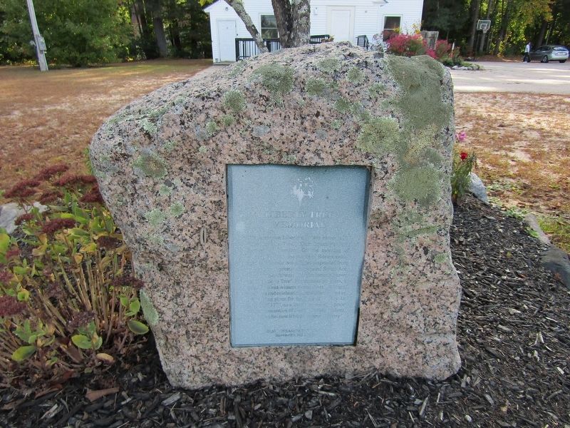
Photographed by Conrad Ward, September 27, 2024
1. Liberty Tree Memorial
The American Liberty elm was named after "The Liberty Tree": Our Country's First Symbol of Freedom. On the morning of August 14, 1765, the people of Boston awakened to discover two effigies suspended from an elm tree in protest of the hated Stamp Act. From that day forward, that elm became known as the "Liberty Tree". For the next ten years, it stood in silent witness to countless meetings, speeches and celebrations, and often served as the rallying place for the Sons of Liberty. In August of 1775, as a last act of violence prior to their evacuation of Boston, British soldiers cut it down because it bore the name "Liberty".
Harrisville, NH 03450
Erected by Elm Research Institute.
Topics and series. This historical marker and memorial is listed in these topic lists: Colonial Era • Horticulture & Forestry • Patriots & Patriotism • War, US Revolutionary. In addition, it is included in the Historic Trees series list. A significant historical date for this entry is August 14, 1765.
Location. 44° 1.012′ N, 70° 58.452′ W. Marker is in Fryeburg, Maine, in Oxford County. It is on Bradley Street,
this page online

Regionally, this marker and memorial is in the Western Maine Lakes and Mountains Region. It is also in the American Northeast and in New England. Globally, it is in North America, the Great North Woods, the Western Hemisphere, the Western World, and the Anglosphere.
Other nearby markers. At least 8 other markers are within 7 miles of this marker, measured as the crow flies: Armed Forces Memorial (a few steps from this marker); Robert E. Peary Stones (approx. ¼ mile away); John Stevens (approx. 0.3 miles away); Fryeburg Honor Roll (approx. half a mile away); Bradley Memorial Park (approx. half a mile away); Lovewell's Fight (approx. 1.7 miles away); Hemlock Bridge (approx. 5.6 miles away); Brownfield: The Forest Fires of 1947 (approx. 6.3 miles away). Touch for a list and map of all markers in Fryeburg.
Credits. This page was last revised on March 29, 2025. It was originally submitted on February 23, 2025, by Conrad Ward of Guilford, Connecticut. This page has been viewed 160 times since then and 27 times this year. Photo 1. submitted on February 23, 2025, by Conrad Ward of Guilford, Connecticut. • Andrew Ruppenstein was the editor who published this page.
