Fryeburg in Oxford County, Maine — The American Northeast (New England)
Lovewell's Fight
Battleground Monument
Photographed by Conrad Ward, September 27, 2024
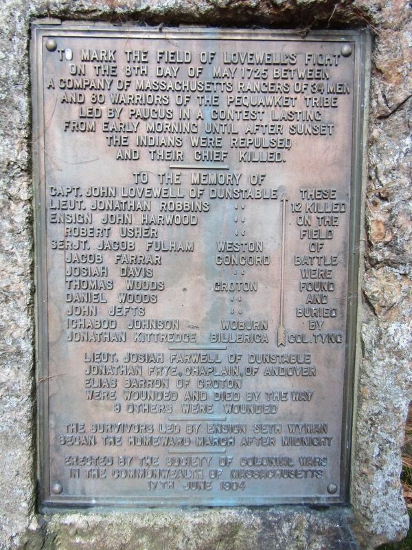
1. Lovewell's Fight Marker
To mark the field of Lovewell's Fight on the 8th day of May 1725 between a company of Massachusetts rangers of 34 men and 80 warriors of the Pequawket Tribe led by Paugus in a contest lasting from early morning until after sunset the Indians were repulsed and their chief killed.
To the memory of
Lieut. Jonathan Robbins "
Ensign John Harwood "
Robert Usher "
Serjt. Jacob Fulham Weston
Jacob Farrar Concord
Josiah Davis "
Thomas Woods Groton
Daniel Woods "
John Jefts "
Ichabod Johnson Woburn
Jonathan Kittredge Billerica
These 12 killed on the field of battle were found and buried by Col. Tyng
this page online
Erected 1904 by Society of Colonial Wars in the Commonwealth of Massachusetts.
Topics. This memorial is listed in this topic list: Wars, US Indian. A significant historical date for this entry is May 8, 1725.
Location. 44° 1.253′ N, 70° 56.379′ W. Memorial is in Fryeburg, Maine, in Oxford County. It is at the intersection of Lovewell Pond Road and Battleground Road, on the left when traveling west on Lovewell Pond Road. Touch for map. Memorial is in this post office area: Fryeburg ME 04037, United States of America. Touch for directions.

Regionally, this memorial is in the Western Maine Lakes and Mountains Region. It is also in the American Northeast and in New England. Globally, it is in North America, the Great North Woods, the Western Hemisphere, the Western World, and the Anglosphere.
Other nearby markers. At least 8 other markers are within 6 miles of this marker, measured as the crow flies: Liberty Tree Memorial (approx. 1.7 miles away); Armed Forces Memorial
Photographed by Conrad Ward, September 27, 2024
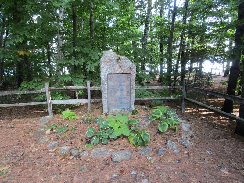
2. Battleground Monument
Regarding Lovewell's Fight. Some sources cite May 9, 1725 as the date of the battle.
Also see . . . Battle of Pequawket (Wikipedia). (Submitted on February 23, 2025.)

Photographed by Conrad Ward, September 27, 2024
3. Lovewell's Fight Battleground Monument
Credits. This page was last revised on March 29, 2025. It was originally submitted on February 23, 2025, by Conrad Ward of Guilford, Connecticut. This page has been viewed 392 times since then and 128 times this year. Photos: 1, 2, 3. submitted on February 23, 2025, by Conrad Ward of Guilford, Connecticut. • Andrew Ruppenstein was the editor who published this page.
