Willow Springs in Cook County, Illinois — The American Midwest (Great Lakes)
Old Towpath
Photographed by Sean P. Flynn, February 23, 2025
1. Old Towpath Marker
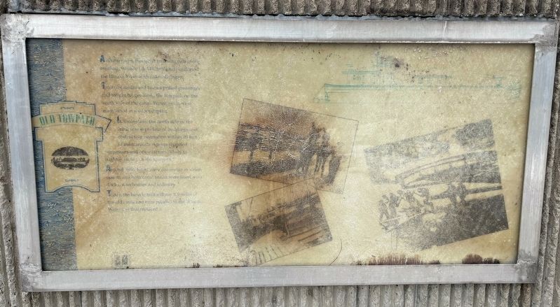
Teams of mules and horses pulled passenger and freight barges along the towpath on the north side of the canal. Water levels were maintained at six-foot depths.
In those days, the north side of the canal was kept clear of buildings and obstructing vegetation with 10 feet of the towpath. Agents reported trespassers and other factors likely to frighten horses in the towpath.
Around 1880, boats were converted to steam power, and both canal banks were lined with docks, warehouses and industry.
Today the bicycle trail follows 8.9 miles of the old canal and runs parallel to the Illinois Waterway that replaced it.
Topics and series. This historical marker is listed in these topic lists: Animals • Industry & Commerce • Waterways & Vessels. In addition, it is included in the Illinois & Michigan Canal series list. A significant historical year for this entry is 1880.
Location. 41° 43.988′ N, 87° 52.799′ W. Marker is in Willow Springs, Illinois, in Cook County. It can be reached from
this page online

Regionally, this marker is in Greater Chicago. It is also in the American Midwest. Globally, it is in North America, on the Great Lakes, in the Western Hemisphere, in the Western World, and in the Anglosphere. Historically, it finds itself in what was once the Viceroyalty of New France, the territory of the Mississippian Culture, and the Northwest Territory.
Other nearby markers. At least 8 other markers are within walking distance of this marker: Original Illinois & Michigan Canal (about 300 feet away, measured in a direct line); "The Worker" (approx. 0.2 miles away); Willow Springs Civilian Conservation Corps Camp #612 (approx. 0.2 miles away); The Civilian Conservation Corps (CCC) (approx. 0.2 miles away); Willow Springs Civilian Conservation Corps Camp #612 (con’t…)
Photographed by Sean P. Flynn, February 23, 2025
2. Old Towpath Marker
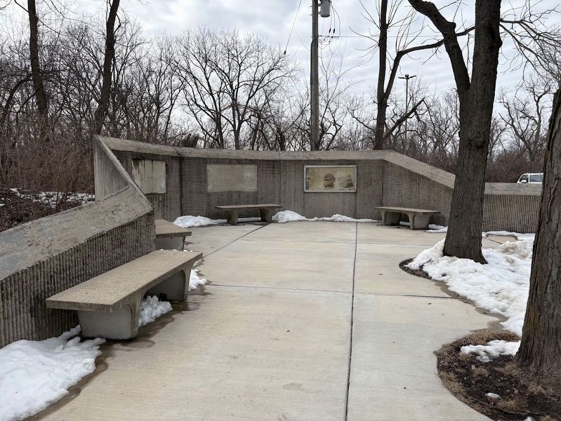
More about this marker. It's possible this marker was once part of a set; there are two empty rectangles near this marker.
Regarding Old Towpath. Explorer Louis Jolliet broached the idea of connecting Lake Michigan and the Illinois River by canal after he and Jesuit priest Jacques Marquette portaged the roughly 8 miles from Summit to Chicago during their seminal voyage through this region in 1673. It took 175 years for that idea to come to fruition with the opening of the Illinois & Michigan Canal in 1848. The development of railroads running parallel to the I&M Canal began diminishing the waterway's influence not long after it was completed. The construction of the much larger Chicago Sanitary & Ship Canal, which opened in 1900, was the final nail in the coffin for the I&M, which officially closed to commerce in 1930. The I&M Canal was designated a National Heritage Area in 1984.
Also see . . .
1. I&M Canal History.
Photographed by Sean P. Flynn, February 23, 2025
3. Husac Bicycle Trail
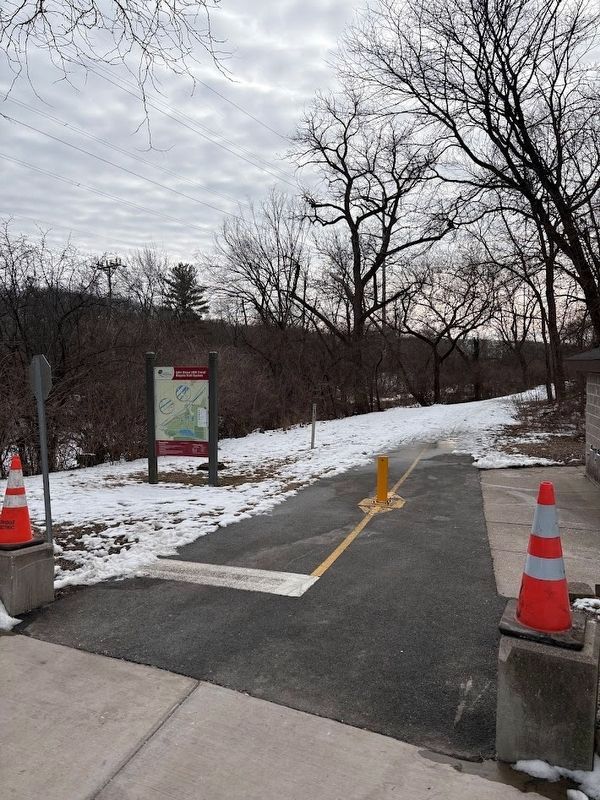
The old I&M canal, frozen over in February 2025, can be seen through the growth behind the sign.
Excerpt: "The I&M Canal remained open for traffic for 85 years; however, in the 1890s, traffic declined dramatically. While locomotives had been nipping at the heels of the canal for decades (though the canal can be credited for forcing the railroad companies to keep their rates low, another canal benefit), it was the opening of the larger and more modern Chicago Sanitary and Ship Canal in 1900 that spelled the end for the I&M Canal. In 1933, the canal was closed. Ultimately, the I&M Canal was a bridge between waterways and eras, providing Chicago and Illinois the boost they needed until future innovations came along to continue to support their growth."(Submitted on February 24, 2025, by Sean P. Flynn of Oak Park, Illinois.)
2. I&M Canal National Heritage Area.
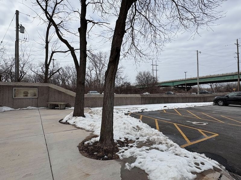
Excerpt: "The National Heritage Area was proposed to fight the 'rust belt' disinvestment of the 1970s. Its designation was a key turning point in the continued history of the canal. Today, the Illinois & Michigan Canal National Heritage Area continues as a passageway for transportation and recreation. The 60 communities that call this region home are connected(Submitted on February 24, 2025, by Sean P. Flynn of Oak Park, Illinois.)by the canal’s everlasting impacts. This heritage area hopes that visitors will become heritage stewards, which is further promoted by their NPS Passport Stamp locations and their Junior Ranger Program."Photographed by Sean P. Flynn, February 23, 20254. Old Towpath Marker and Willow Springs Road flyoverThe marker is next to a parking lot that sits in the shadow of Willow Springs Road, which is elevated over the Des Plaines River, the Chicago Sanitary and Ship Canal, and the I&M Canal until it merges with Archer Avenue near downtown Willow Springs.
3. Forest Preserves of Cook County: John Husar U&M Canal Trail. (Submitted on February 24, 2025, by Sean P. Flynn of Oak Park, Illinois.)

Chicago Daily News Collection, Chicago History Museum, May 1913
5. I&M Canal near Summit, Illinois (1913)
The caption from the Chicago History Museum says the photo was taken near Summit, Illinois, so likely about five miles northeast of this historical marker in Willow Springs.
Credits. This page was last revised on March 7, 2025. It was originally submitted on February 24, 2025, by Sean P. Flynn of Oak Park, Illinois. This page has been viewed 203 times since then and 39 times this year. Photos: 1, 2, 3, 4, 5. submitted on February 24, 2025, by Sean P. Flynn of Oak Park, Illinois.
