Atlanta in Logan County, Illinois — The American Midwest (Great Lakes)
Laying the Hard Road
Through Atlanta

Photographed by Jason Voigt, February 23, 2025
1. Laying the Hard Road Marker
Known as the "Great Illini Boulevard," Illinois State Road 4 was laid through Atlanta in 1922-23. It was the first paved road connecting Chicago and St. Louis. In 1926, it was re-designated as U.S. Route 66 taking travelers all the way to Los Angeles. This quarter mile section of pavement is a remnant of that original "Mother Road."
A Community Effort
Communities demonstrated enthusiastic support by raising money to purchase right-of-way. In Atlanta, promoters asked fifty men to invest $200 each to guarantee the funds necessary to secure the right-of-way.
Atlanta Argus (September 30, 1921)
Without doubt the state road project is the most important of anything proposed in many years…We hope to report next week that the community is "over the top" on the proposition. "Let's go!"
Atlanta Argus (1923)
On Wednesday morning, April 18, the first work trainload of sand, gravel and concrete went chugging through town.
(photo captions:)
·Led by crew foreman Albert Irvin of Atlanta, men labored with horses and mules to scrape and build the roadbed through Atlanta in the summer and fall of 1922. After settling through
this page online
·A Model T Ford races down the new hard road near Atlanta.
Erected by Illinois Route 66 Scenic Byway.
Topics and series. This historical marker is listed in this topic list: Roads & Vehicles. In addition, it is included in the U.S. Route 66 series list. A significant historical date for this entry is April 18, 1926.
Location. 40° 16.107′ N, 89° 13.392′ W. Marker is in Atlanta, Illinois, in Logan County. It is on Arch Street (Old U.S. 66) north of Sycamore Street, on the right when traveling east. Marker is at a dead-end road where old U.S. 66 was on. Touch for map. Marker is at or near this postal address: 401 Arch St, Atlanta IL 61723, United States of America. Touch for directions.

Regionally, this marker is in Central Illinois and in Greater Springfield. It is also in the American Midwest and in the Corn Belt. Globally, it is in North America, the Western Hemisphere, the Western World, and the Anglosphere. Historically, it finds itself in what was once the territory of the Mississippian Culture and also the Northwest Territory.
Other nearby markers. At least 8 other markers are within walking
Photographed by Jason Voigt, February 23, 2025
2. Laying the Hard Road Marker
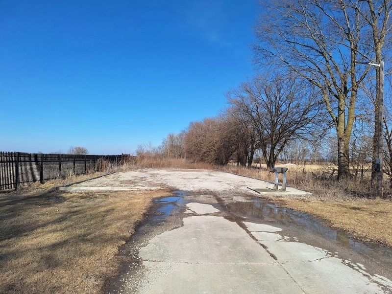
Marker is at a dead-end road (old Route 66 roadbed) which leads to a small parking lot.
Photographed by Jason Voigt, February 23, 2025
3. Laying the Hard Road Marker
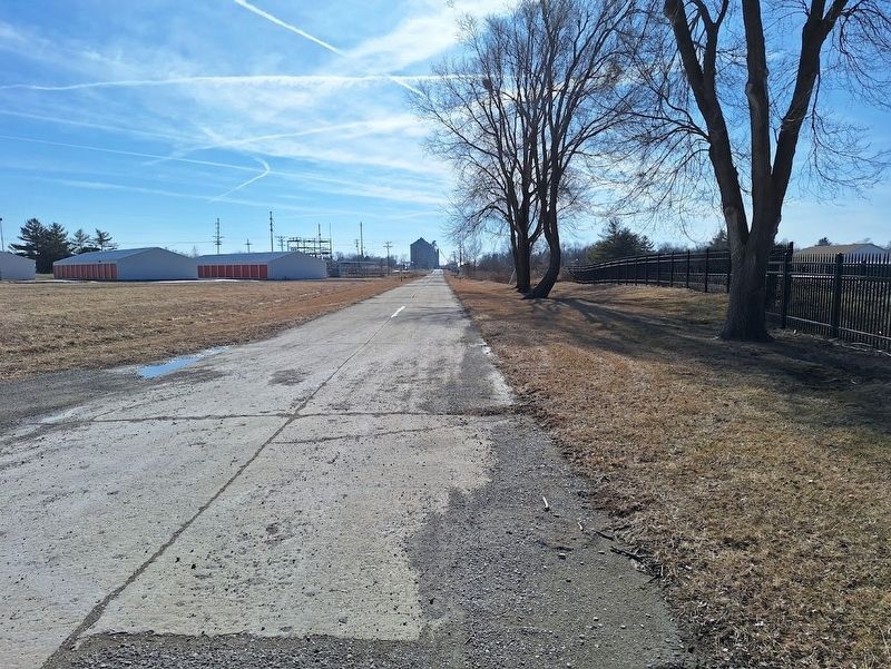
Old Route 66 roadbed, looking south from the marker
Credits. This page was last revised on November 8, 2025. It was originally submitted on February 24, 2025, by Jason Voigt of Glen Carbon, Illinois. This page has been viewed 275 times since then and 54 times this year. Photos: 1, 2, 3. submitted on February 24, 2025, by Jason Voigt of Glen Carbon, Illinois.
