Moorhead in Clay County, Minnesota — The American Midwest (Upper Plains)
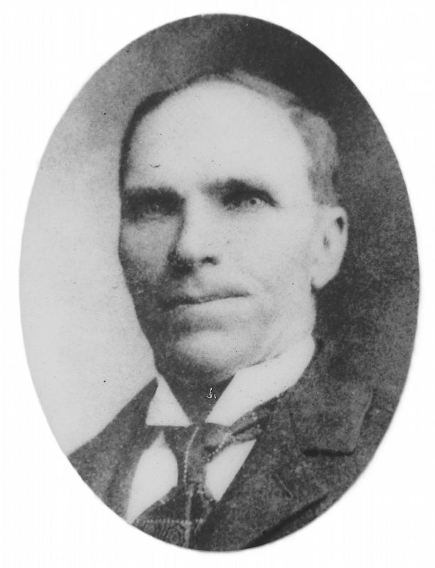
John Bergquist
Photographed by Cosmos Mariner, June 27, 2024
1. John Bergquist Marker
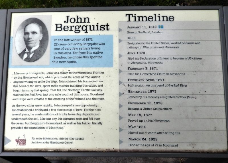
In the late winter of 1871, 22-year-old John Bergquist was one of very few settlers living in this area. Far from his native Sweden, he chose this spot for his new home.
Like many immigrants, John was drawn to the Minnesota Frontier by the Homestead Act, which promised 160 acres of free land to anyone willing to settle the West. John claimed his homestead on this bend of the river, spent three months building this cabin, and began farming that spring. That fall, the Northern Pacific Railway reached the Red River just one mile south of this house. Moorhead and Fargo were created at the crossing of the railroad and the river.
As the two cities grew rapidly, John jumped at an opportunity. He established a brickyard a few blocks east of here. For the next several years, he made millions of bricks from clay deposits just underneath the soil. Like our city, his fortunes rose and fell over the years, but Bergquist's homestead, as well as his bricks, literally provided the foundation of Moorhead.
Timeline
January 11, 1849
Born in Småland, Sweden
1868
Emigrated to the United States, worked on farms and railways in Wisconsin and Minnesota
this page online
June 1870
Filed his Declaration of Intent to become a US citizen in Alexandria, Minnesota
February 3, 1871
Filed his Homestead Claim in Alexandria
February-April 1871
Built a cabin on this bend of the Red River
September 1873
Joined by his recently emigrated brother Peter
November 15, 1876
Became a United States citizen
May 18, 1877
Proved up on his homestead
May 1884
Moved out of cabin after selling site
March 24, 1928
Died at the age of 79 in Moorhead
For more information, visit the Clay County Archives at the Hjemkomst Center.
Erected by Historical and Cultural Society of Clay County.
Topics. This historical marker is listed in these topic lists: Immigration • Industry & Commerce • Railroads & Streetcars • Settlements & Settlers. A significant historical year for this entry is 1871.
Location. 46° 53.151′ N, 96° 46.151′ W. Marker is in Moorhead, Minnesota, in Clay County. It is on 7th Street North just south of 11th Avenue North, on the left when traveling south. The marker is located near the northeast corner of Homestead Park, overlooking the Bergquist Cabin. Touch for map. Marker is at or near this postal address: 1008
2. Marker detail: John Bergquist

Regionally, this marker is in the American Midwest and in the Corn Belt. Globally, it is in North America, the Western Hemisphere, the Western World, and the Anglosphere. Historically, it finds itself in what was once Rupert’s Land, the territory of the Mississippian Culture, and the Louisiana Purchase.
Other nearby markers. At least 8 other markers are within walking distance of this marker: The Bergquist Cabin (here, next to this marker); Homestead Park (within shouting distance of this marker); National Guard and Armory (approx. 0.4 miles away); In Honor of Those Who Have Served in Defense of Our Country (approx. 0.4 miles away); The First Bridge over the Red River (approx. 0.8 miles away); Veterans Memorial Bridge (approx. 0.9 miles away); St, John's Episcopal Church (approx. 0.9 miles away); The Ford Building (approx. 0.9 miles away in North Dakota). Touch for a list and map of all markers in Moorhead.
Related markers. Click here for a list of markers that are related to this marker. Homestead Park
Photographed by Cosmos Mariner, June 27, 2024
3. John Bergquist Marker
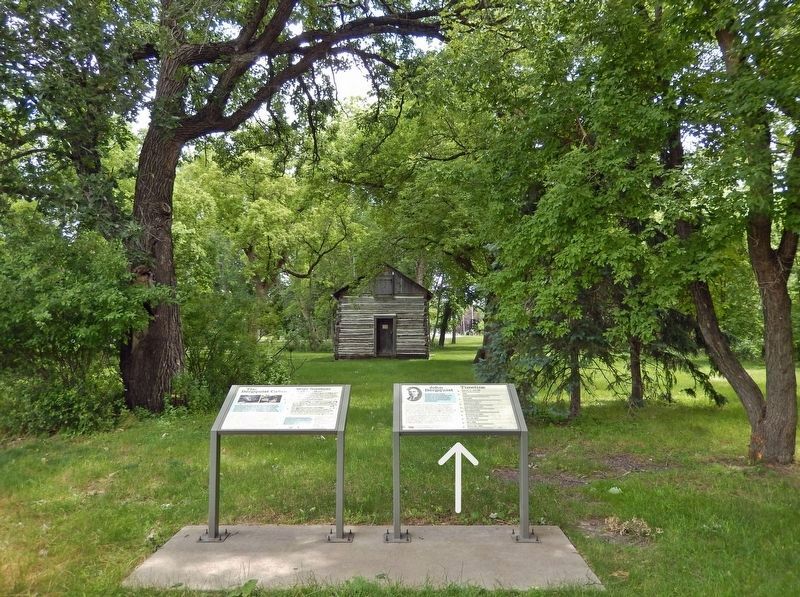
Looking south from 7th Street North; the Bergquist Cabin is in the background. This marker is the rightmost of two interpretive panels at this location.
Credits. This page was last revised on February 27, 2025. It was originally submitted on February 25, 2025, by Cosmos Mariner of Cape Canaveral, Florida. This page has been viewed 138 times since then and 32 times this year. Photos: 1, 2, 3. submitted on February 27, 2025, by Cosmos Mariner of Cape Canaveral, Florida.
