Butler-Tarkington in Indianapolis in Marion County, Indiana — The American Midwest (Great Lakes)
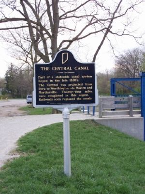
The Central Canal
Photographed by Mbowyer, April 15, 2006
1. The Central Canal Marker
Erected 1966 by Indiana Sesquicentennial Commission. (Marker Number 49.1966.2.)
Topics and series. This historical marker is listed in these topic lists: Railroads & Streetcars • Waterways & Vessels. In addition, it is included in the Indiana Historical Bureau Markers series list.
Location. 39° 51.321′ N, 86° 9.585′ W. Marker is in Indianapolis, Indiana, in Marion County. It is in Butler-Tarkington. It is at the intersection of West Westfield Boulevard and North Illinois Street, on the left when traveling east on West Westfield Boulevard. Marker is in the Broad Ripple section of Indianapolis. Touch for map. Marker is in this post office area: Indianapolis IN 46208, United States of America. Touch for directions.

Regionally, this marker is in Central Indiana. It is also in the American Midwest and in the Corn Belt. Globally, it is in
this page online
Other nearby markers. At least 5 other markers are within 2 miles of this marker, measured as the crow flies: North Meridian Street Historic District (approx. 0.2 miles away); Hinkle Fieldhouse (approx. one mile away); Central Canal & Towpath (approx. 1.1 miles away); Town of Meridian Hills (approx. 1.3 miles away); Oliver Johnson House (approx. 1.4 miles away). Touch for a list and map of all markers in Indianapolis.
Also see . . . Indiana Central Canal. Wikipedia entry (Submitted on October 30, 2020, by Larry Gertner of New York, New York.)
Photographed by Mbowyer, April 15, 2006
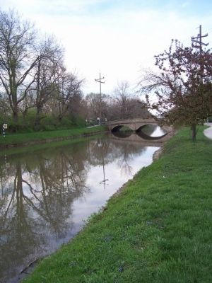
2. View of The Central Canal in the other direction.
Photographed by Mbowyer, April 15, 2006
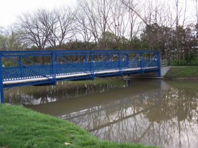
3. Bridge by The Central Canal marker.
Photographed by Mobile Maplets, Unknown
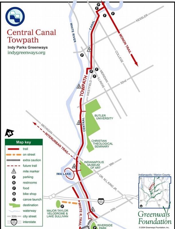
4. The Central Canal Towpath Biketrail
Credits. This page was last revised on November 17, 2023. It was originally submitted on April 17, 2006, by M. Bowyer of Indianapolis, Indiana. This page has been viewed 2,770 times since then and 57 times this year. Photos: 1, 2, 3. submitted on April 17, 2006, by M. Bowyer of Indianapolis, Indiana. 4. submitted on October 30, 2020, by Larry Gertner of New York, New York. • J. J. Prats was the editor who published this page.
