Near Goliad in Goliad County, Texas — The American South (West South Central)
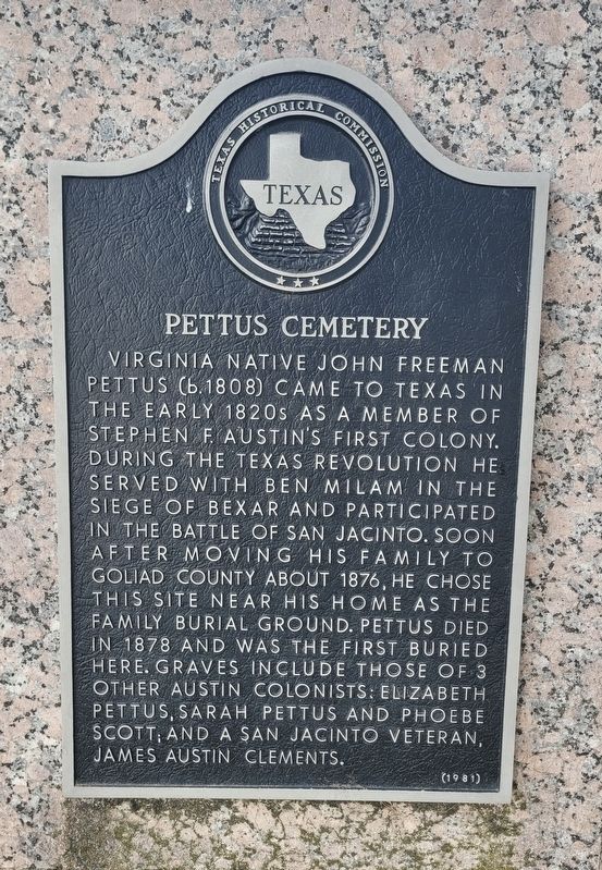
Pettus Cemetery
Photographed by James Hulse, February 26, 2025
1. Pettus Cemetery Marker
Erected 1981 by Texas Historical Commission. (Marker Number 4003.)
Topics. This historical marker is listed in these topic lists: Cemeteries & Burial Sites • Settlements & Settlers • War, Texas Independence. A significant historical year for this entry is 1876.
Location. 28° 43.469′ N, 97° 34.996′ W. Marker is near Goliad, Texas, in Goliad County. It is on Smith-Walker Cemetery 0.1 miles John Pettus Road, on the right when traveling east. The marker is located just inside the cemetery grounds by the entrance. Touch for map. Marker is at or near this
this page online

Regionally, this marker is in South Texas. It is also in the American South. Globally, it is in North America, a Gulf of Mexico state, the Western Hemisphere, the Western World, and the Anglosphere. Historically, it finds itself in what was once New Spain, the Republic of Texas, and one of the Confederate States of America.
Other nearby markers. At least 8 other markers are within 12 miles of this marker, measured as the crow flies: Goliad County (approx. 10.3 miles away); Mission Nuestra Senora del Rosario (approx. 10.3 miles away); Site of Mission Nuestra Señora del Rosario (approx. 10.3 miles away); Mission Rosario State Historic Site / Sitio Histórico Estatal Misión Nuestra Señora del Rosario (approx. 10.3 miles away); Blazing New Trails / Abriendo Nuevos Horizontes (approx. 10.3 miles away); Bird's Eye View / Vista Aérea (approx. 10.3 miles away); Lott Cemetery (approx. 10.7 miles away); Reed-McCampbell-Wiess Ranch Complex (approx. 11½ miles away). Touch for a list and map of all markers in Goliad.
Another
Photographed by James Hulse, February 26, 2025
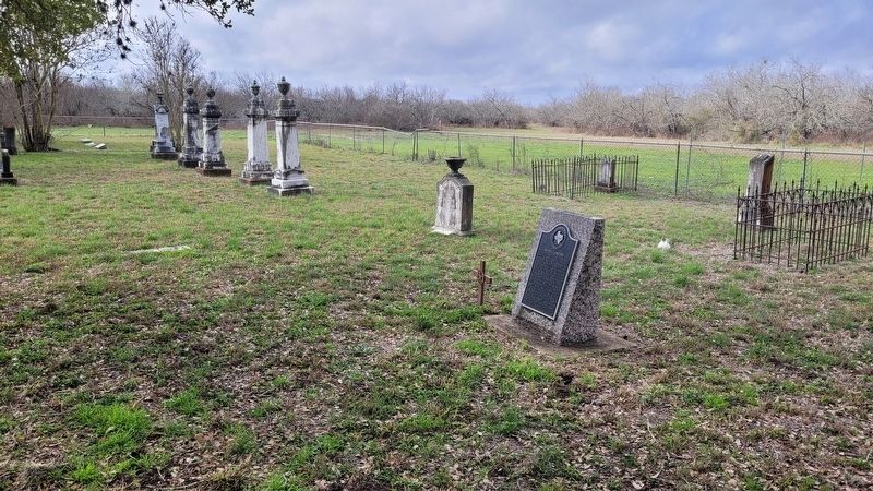
2. The view of the Pettus Cemetery and Marker at the cemetery entrance
Photographed by James Hulse, February 26, 2025
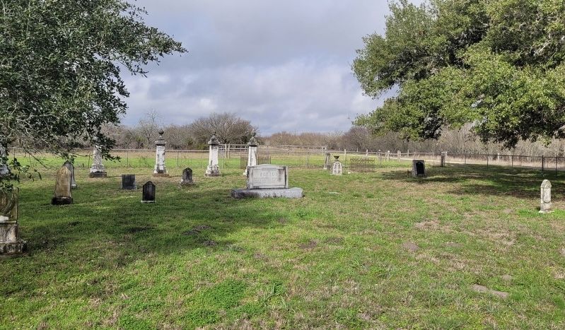
3. The view of the Pettus Cemetery and Marker from the center of the cemetery
Credits. This page was last revised on February 27, 2025. It was originally submitted on February 27, 2025, by James Hulse of Medina, Texas. This page has been viewed 342 times since then and 77 times this year. Photos: 1, 2, 3. submitted on February 27, 2025, by James Hulse of Medina, Texas.
