East Bank in Kanawha County, West Virginia — The American South (Appalachia)
The Shamrock Sod
Photographed by Mark Parker, December 9, 2024
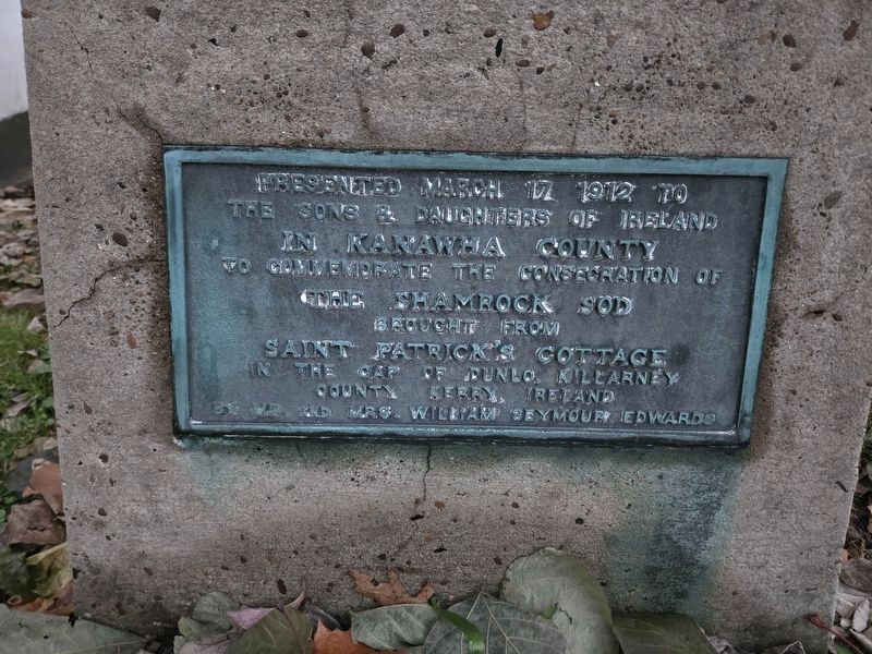
1. The Shamrock Sod Marker
The sons & daughters of Ireland
In Kanawha County
To commemorate the consecration of
The Shamrock Sod
Brought from
Saint Patrick's Cottage
In the cap of Dunlo, Killarney
County Kerry, Ireland
By Mr. and Mrs. William Seymour Edwards
Erected 1912 by Mr. and Mrs. William Seymour Edwards.
Topics. This historical marker is listed in these topic lists: Horticulture & Forestry • Immigration • Settlements & Settlers. A significant historical date for this entry is March 12, 1912.
Location. 38° 12.608′ N, 81° 27.372′ W. Marker is in East Bank, West Virginia, in Kanawha County. It is at the intersection of 1st Avenue and 3rd Avenue (West Virginia Route 61), on the right when traveling west on 1st Avenue. Touch for map. Marker is at or near this postal address: 20492 1st Ave, East Bank WV 25067, United States of America. Touch for directions.

Regionally, this marker is in Greater Charleston Area. It is also in the American South, specifically in the Upper South, in Appalachia, and specifically in Southern Appalachia. Globally, it is in North America, the Western Hemisphere, the Western
this page online
Other nearby markers. At least 8 other markers are within 2 miles of this marker, measured as the crow flies: Good Shepherd Chapel Catholic Church (a few steps from this marker); East Bank High School (approx. 0.9 miles away); East Bank World War II Veterans (approx. 0.9 miles away); Andrew & Charles Lewis March (approx. 1.7 miles away); First Settlers (approx. 1.7 miles away); Virginia's Chapel (approx. 1.7 miles away); Major William Morris Jr. (approx. 1.7 miles away); Historic Church (approx. 1.7 miles away). Touch for a list and map of all markers in East Bank.
Another marker is no longer nearby. Coalburg (was about 600 feet away, measured in a direct line but has been confirmed missing).
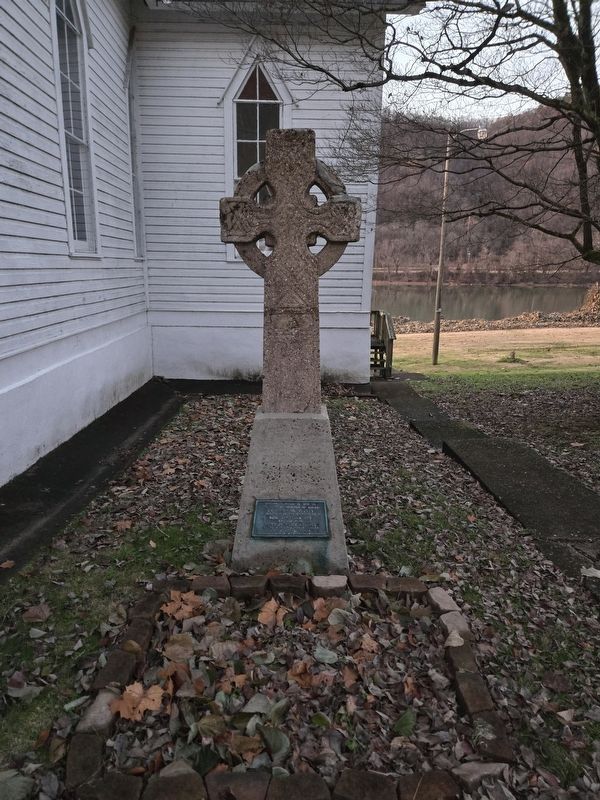
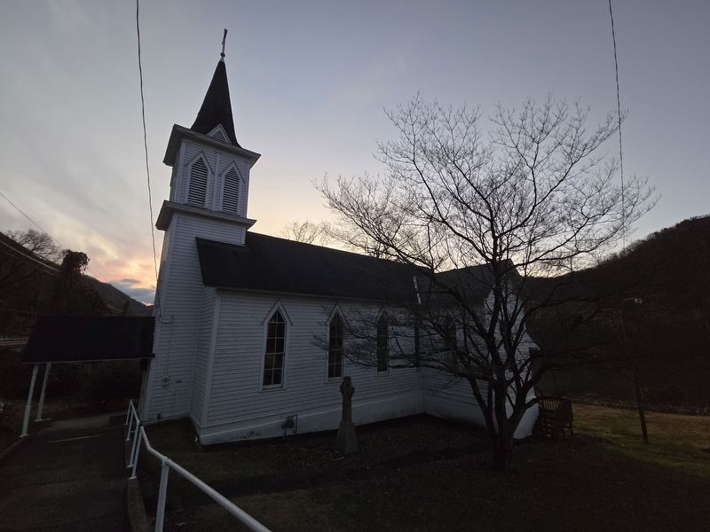
More about this marker. The marker is attached to the base of a Celtic cross located to the east of Good Shepherd Catholic Church. The church is listed on the National Register of Historic Places of which the cross is a contributing resource.
Regarding The Shamrock Sod. William Seymour Edwards, who along with
Photographed by Mark Parker, December 9, 2024
2. The Shamrock Sod Marker and Celtic Cross
From the Good Shepherd Nomination Form
The period of significance is 1880 to 1912. This covers the period from ca. 1880, approximately when the religious edifice was constructed and takes in the period of greatest growth when Roman Catholic immigrants were arriving in the Upper Kanawha Valley in their greatest numbers, and goes up to and includes the several highly significant historic events occurring here; the high mass held for U.S. Senator John E. Kenna and the 1912 erection of the Celtic Cross by W.V. House Speaker William Seymour Edwards.
Also see . . . Good Shepherd Church National Register of Historic Places Nomination Form (pdf).
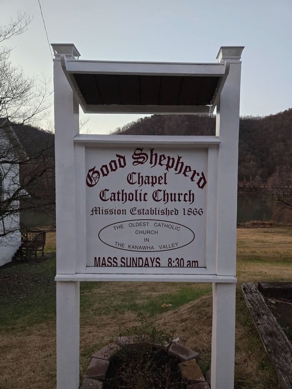
One of the most unusual physical aspects of the Good Shepherd Mission is the concrete Celtic Cross that stands next to the church. It provides a direct link to noted author, statesman, and businessman William Seymour Edwards, son of the great naturalist. In 1911 Edwards and his wife, friends but not members of the parish,(Submitted on February 27, 2025, by Mark Parker of Hickory, North Carolina.)traveled to Europe and brought back with them, in 1912, a piece of earth taken in front of the cabin of St. Patrick in Ireland. Let the inscription on the base of the cross (also paid for by Edwards) speak for itself: "Presented March 17, 1912 to The Sons and Daughters of Ireland In Kanawha County To Commemorate the Consecration of The Shamrock Sod Brought From Saint Patrick's Cottage In the Gap of Dunlo, Killarny County Kerry, Ireland By Mr. & Mrs. William Seymour Edwards"Photographed by Mark Parker, December 9, 20243. Good Shepherd Catholic Church sign, location of the cross and markerGood Shepherd is the oldest Catholic Church in the Kanawha Valley
Photographed by Mark Parker, December 9, 2024
4. Good Shepherd Catholic Church
Credits. This page was last revised on March 1, 2025. It was originally submitted on February 27, 2025, by Mark Parker of Hickory, North Carolina. This page has been viewed 136 times since then and 33 times this year. Photos: 1, 2, 3, 4. submitted on February 27, 2025, by Mark Parker of Hickory, North Carolina. • Devry Becker Jones was the editor who published this page.
