Southeast Boise in Ada County, Idaho — The American West (Mountains)
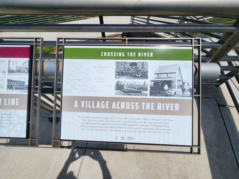
Crossing the River
A Village Across the River
Photographed by Douglass Halvorsen, June 27, 2023
1. Crossing the River Marker
Erected by Idaho Transportation Department, Boise City of Trees, Boise City Dept of Arts & History.
Topics. This historical marker is listed in these topic lists: Bridges & Viaducts • Settlements & Settlers • Women. A significant historical year for this entry is 1890.
Location. 43° 36.176′ N, 116° 11.595′ W. Marker is in Boise, Idaho, in Ada County. It is in Southeast Boise. It is on South Broadway Avenue (U.S. 26) north of Broadway Alley Avenue, on the right when traveling north. Touch for map. Marker is at or near this postal address: 802 S Broadway Ave, Boise ID 83706, United States of America. Touch for directions.

Regionally,
this page online
Other nearby markers. At least 8 other markers are within walking distance of this marker: A different marker also named Crossing the River (here, next to this marker); Christ Chapel (within shouting distance of this marker); First Protestant Episcopal Church (within shouting distance of this marker); a different marker also named Crossing the River (about 700 feet away); a different marker also named Crossing the River (about 700 feet away); Bronco Stadium (approx. 0.2 miles away); Father of Bronco Football (approx. 0.2 miles away); Bronco Gymnasium (approx. ¼ mile away). Touch for a list and map of all markers in Boise.
Other markers no longer nearby. Boise State University (was about 400 feet away, measured in a direct line but has been permanently removed); Airmail Service (was about 400 feet away but has been permanently removed).
Photographed by Douglass Halvorsen, June 27, 2023
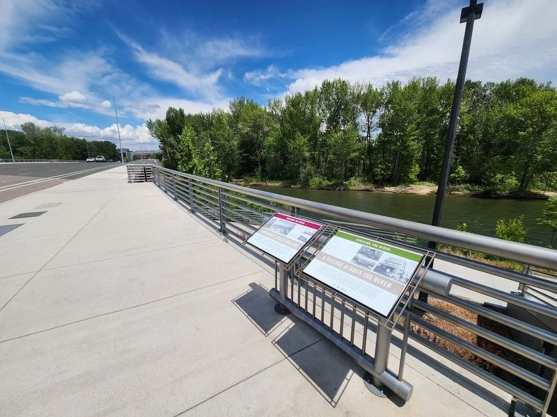
2. Crossing the River Marker
Credits. This page was last revised on March 1, 2025. It was originally submitted on February 27, 2025, by Douglass Halvorsen of Klamath Falls, Oregon. This page has been viewed 136 times since then and 17 times this year. Photos: 1, 2. submitted on February 27, 2025, by Douglass Halvorsen of Klamath Falls, Oregon. • Devry Becker Jones was the editor who published this page.
