Suffolk, Virginia — The American South (Mid-Atlantic)
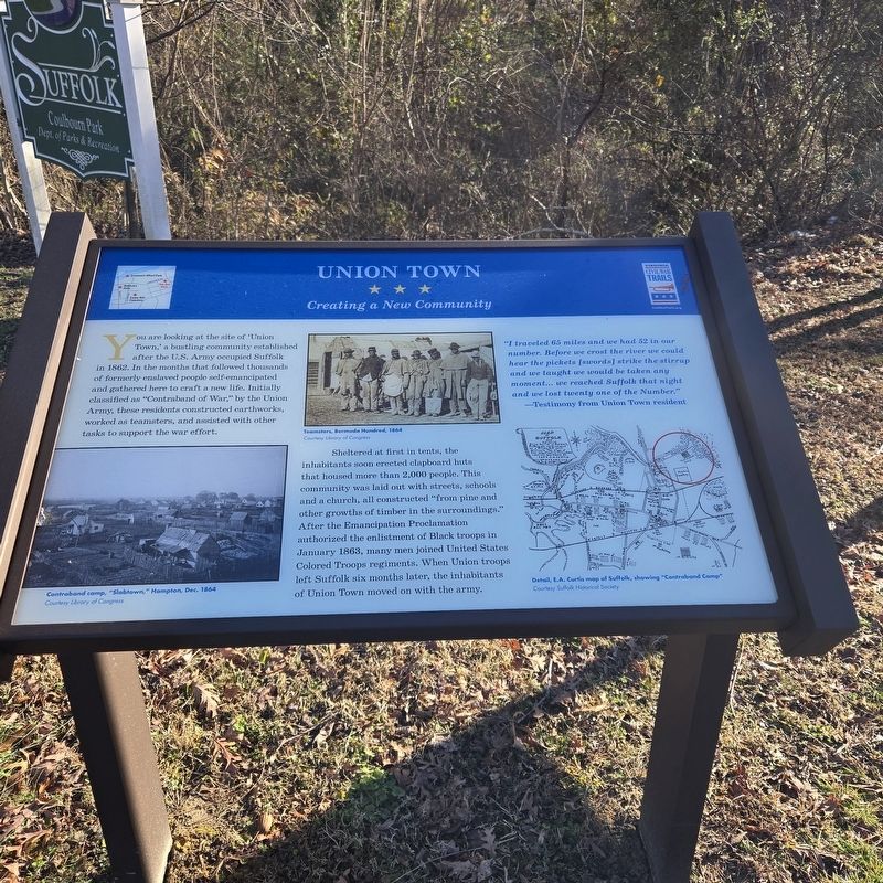
Union Town
Creating a New Community
Photographed by Mike McKeown, February 28, 2025
1. Union Town Marker
Sheltered at first in tents, the inhabitants soon erected clapboard huts that housed more than 2,000 people. This community was laid out with streets, schools and a church, all constructed "from pine and other growths of timber in the surroundings." After the Emancipation Proclamation authorized the enlistment of Black troops in January 1863, many men joined United States Colored Troops regiments. When Union troops left Suffolk six months later, the inhabitants of Union Town moved on with the army.
"I traveled 65 miles and we had 52 in our number. Before we crost the river we could hear the pickets [swords] strike the stirrup and we taught we would be taken any moment... we reached Suffolk that night and we lost twenty one of the Number."
this page online
(captions)
Contraband camp, "Slabtown," Hampton, Dec. 1864 Courtesy Library of Congress
Teamsters, Bermuda Hundred, 1864 Courtesy Library of Congress
Detail, E.A. Curtis map of Suffolk, showing "Contraband Camp" Courtesy Suffolk Historical Society
Erected by Virginia Civil War Trails.
Topics and series. This historical marker is listed in these topic lists: African Americans • War, US Civil. In addition, it is included in the Virginia Civil War Trails series list. A significant historical year for this entry is 1862.
Location. 36° 44.312′ N, 76° 34.427′ W. Marker is in Suffolk, Virginia. It is at the intersection of East Constance Road (Business U.S. 460) and Lakeside Street, on the right when traveling east on East Constance Road. Located in Colbourn Park. Touch for map. Marker is at or near this postal address: 321 E Constance Rd, Suffolk VA 23434, United States of America. Touch for directions.

Regionally, this marker is in Hampton Roads, specifically in Coastal Virginia, and in the Hampton Roads Metropolitan Area. It is also in the American South, specifically in the
Photographed by Mike McKeown, February 28, 2025
2. Union Town Marker
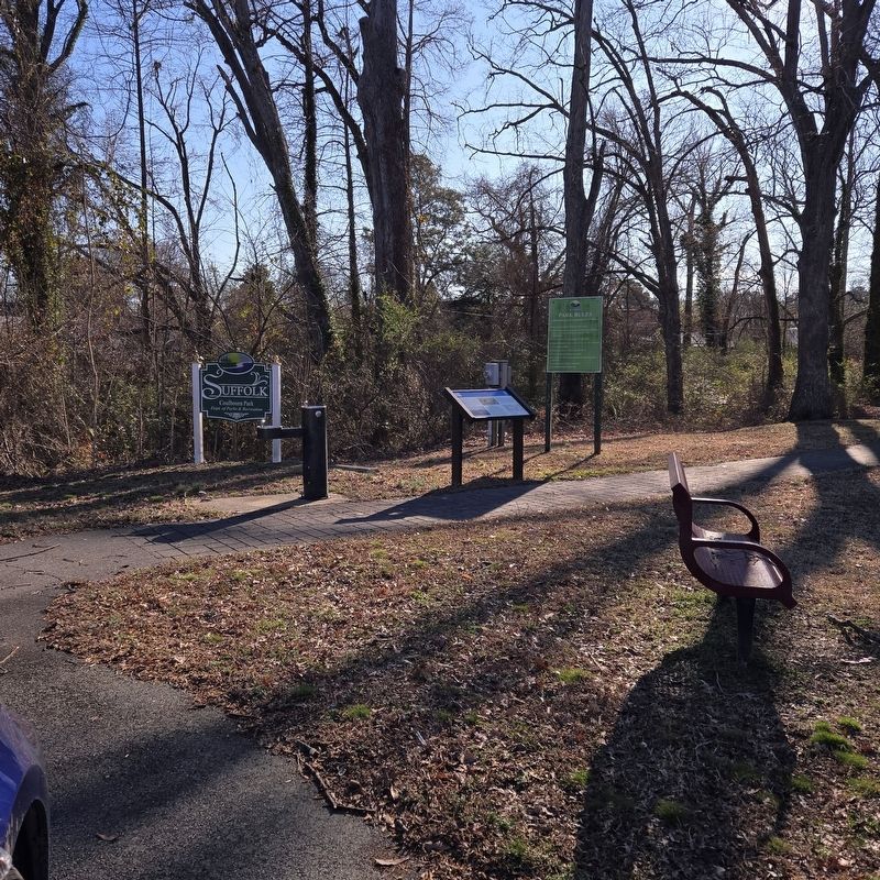
Marker at a Distance
Other nearby markers. At least 8 other markers are within walking distance of this marker: Site of the John Constant House (approx. 0.3 miles away); Siege of Suffolk (approx. 0.4 miles away); Remembrance Garden Monuments (approx. 0.4 miles away); Confederate Monument (approx. 0.4 miles away); Cedar Hill Cemetery (approx. 0.4 miles away); Watering Fountain (approx. 0.4 miles away); Civil War Militia of Suffolk and Nansemond County (approx. 0.4 miles away); Spanish War Veterans Memorial (approx. half a mile away). Touch for a list and map of all markers in Suffolk.
Credits. This page was last revised on March 2, 2025. It was originally submitted on February 28, 2025, by Mike McKeown of Baltimore, Maryland. This page has been viewed 210 times since then and 34 times this year. Photos: 1, 2. submitted on February 28, 2025, by Mike McKeown of Baltimore, Maryland. • Bernard Fisher was the editor who published this page.
