Charles City in Charles City County, Virginia — The American South (Mid-Atlantic)
North Bend
Federal Headquarters
| — | Lee vs. Grant - The 1864 Campaign | — |
Photographed by Mike McKeown, March 1, 2025
1. North Bend Marker
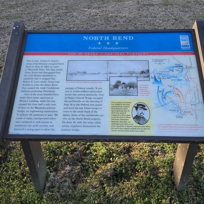
Part of the army boarded ferry-boats three miles upstream at Wilcox's Landing, while the rest crossed the river half a mile west of here on the Weyanoke pontoon bridge, an engineering masterpiece. It utilized 101 pontoons to span 700 yards of water, incorporated schooners anchored in mid-stream to counteract the swift current, and featured a swing span to allow the passage of Federal vessels. To protect it, Union soldiers entrenched across this narrow peninsula. United States Colored Troops occupied the earthworks on the morning of June 16 as the Federal rear guard, and were the last Union troops to cross to the south bank of the James. Some of the earthworks survive on the North Bend property. On June 18, with the army safely across, engineers dismantled the
this page online
(sidebar)
Union cavalry commander Gen. Philip H. Sheridan and his forces occupied North Bend for three days beginning June 25 while they awaited transports to ferry them across the river to Wind-mill Point (Flowerdew Hundred). Sheridan was rejoining Grant after a two-week expedition to destroy railroad track. When the last of the troopers crossed over on June 28, cavalry activity north of the river ended.
(captions)
Edwin Forbes sketch of Weyanoke pontoon bridge
North Bend, antebellum house and outbuildings, photographed in the 1920s.
Grant's movement across the James caught Lee unaware. While the Federal army marched toward Petersburg, Lee's Confederate forces kept guard against a possible advance toward Richmond.
Erected by Virgina Civil War Trails.
Topics and series. This historical marker is listed in this topic list: War, US Civil. In addition, it is included in the Virginia Civil War Trails series list. A significant historical date for this entry is June 14, 1864.
Location. 37° 18.722′ N, 77° 3.388′ W. Marker is in Charles City, Virginia, in Charles City County. It can be reached from Weyanoke Road 2 miles
Photographed by Mike McKeown, March 1, 2025
2. North Bend Marker
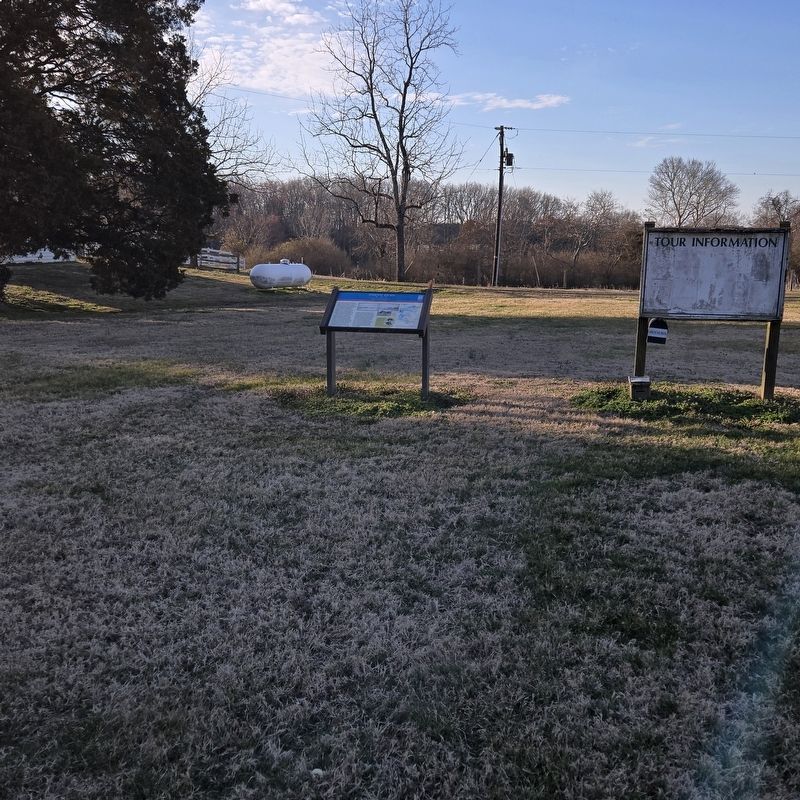
marker at distance

Regionally, this marker is in Coastal Virginia. It is also in the American South, specifically in the Upper South, in the Tidewater, and on the Eastern Seaboard. Globally, it is in the North Atlantic Region, North America, the Western Hemisphere, the Western World, and the Anglosphere. Historically, it finds itself in what was once the territory of the Mississippian Culture, one of the original Thirteen Colonies, one of the Confederate States of America, and the Antebellum South.
Other nearby markers. At least 8 other markers are within 3 miles of this marker, measured as the crow flies: Kittiewan Plantation (approx. 0.6 miles away); Kittiewan and Doctor Rickman (approx. 1.7 miles away); Weyanoke & Parrish Hill (approx. 1.7 miles away); Upper Weyanoke (approx. 1.7 miles away); a different marker also named North Bend (approx.
Photographed by Mike McKeown, March 1, 2025
3. North Bend Marker
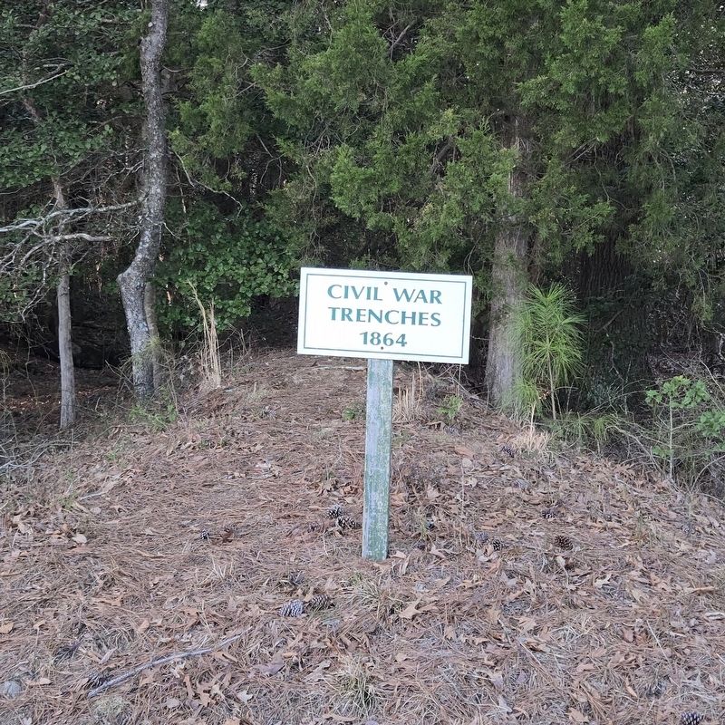
Earths work sign on property of bed and breakfast
Another marker is no longer nearby. New Hope & Court House (was approx. 2.1 miles away but has been confirmed missing).
Also see . . . North Bend Plantation. (Submitted on March 1, 2025.)
Credits. This page was last revised on March 2, 2025. It was originally submitted on March 1, 2025, by Mike McKeown of Baltimore, Maryland. This page has been viewed 210 times since then and 60 times this year. Photos: 1, 2, 3. submitted on March 1, 2025, by Mike McKeown of Baltimore, Maryland. • Bernard Fisher was the editor who published this page.
