South Laurel in Prince George's County, Maryland — The American Northeast (Mid-Atlantic)
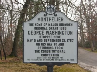
Montpelier
The Home of Major Snowden
| — | Original Grant 1686 | — |
Photographed by F. Robby, January 2, 2004
1. Montpelier Marker
stopped here
May 9 and September 21, 1787
on his way to and
returning from
the Constitutional
Convention.
Erected 1937 by Society for the Preservation of Maryland Antiquities, Inc.
Topics and series. This historical marker is listed in these topic lists: Colonial Era • Notable Buildings • Settlements & Settlers. In addition, it is included in the Former U.S. Presidents: #01 George Washington, the George Washington Slept Here, and the National Historic Landmarks series lists. A significant historical date for this entry is May 9, 1787.
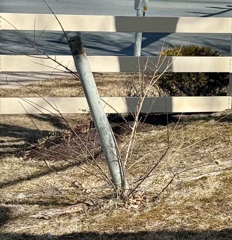
Location. Marker is missing. It was located near 39° 4.196′ N, 76° 50.592′ W. Marker was in South Laurel, Maryland, in Prince George's County. It was at the intersection of Laurel Bowie Road (Route 197) and Montpelier Drive, on the right when traveling south on Laurel Bowie Road. Touch for map. Marker was at or near this postal address: 9314 Montpelier Drive, Laurel MD 20708, United States of America. Touch for directions.

Regionally, this marker was in the Washington Metropolitan Area. It was also in the American South, specifically in the Upper South,
this page online
Other nearby markers. At least 8 other markers are within 2 miles of this location, measured as the crow flies: The Industrial Heritage of Dinosaur Park (approx. 1.4 miles away); Welcome to Dinosaur Park (approx. 1.4 miles away); The Dinosaurs of Dinosaur Park (approx. 1.4 miles away); Meet Astrodon johnstoni (approx. 1.4 miles away); a different marker also named Welcome to Dinosaur Park (approx. 1.4 miles away); George Washington Carver (approx. 1.7 miles away); Three Sisters: Close Knit Communities of the Laurel Area (approx. 1.8 miles away); Abraham Hall: An African American Benevolent Lodge (approx. 1.8 miles away).
Other markers no longer nearby. Dinosaurs in Maryland! (was approx. 1.4 miles away but has been replaced with another marker now near it); Dinosaur Park's Industrial Heritage (was approx. 1.4 miles away but has
Photographed by Rico Ramirez, March 1, 2025
2. Pole of missing Montpelier Marker
Additional commentary.
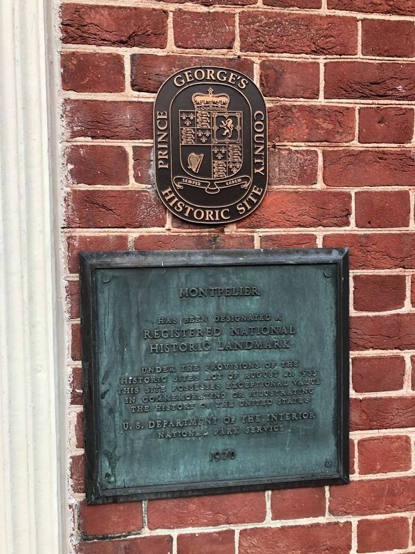
1. Landmark status
Montpelier was designated a National Historic Landmark on April 11, 1970.
— Submitted March 3, 2008, by Christopher Busta-Peck of Shaker Heights, Ohio.
Photographed by F. Robby, January 2, 2004
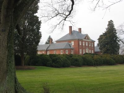
3. Montpelier
Montpelier is accessed from Muirkirk Road which is about half a mile south of Montpelier Drive off Laurel Bowie Road (MD 197).
Credits. This page was last revised on April 7, 2026. It was originally submitted on November 18, 2007, by F. Robby of Baltimore, Maryland. This page has been viewed 1,797 times since then and 35 times this year. Last updated on March 1, 2025, by Rico Ramirez of Prince Frederick, Maryland. Photos: 1. submitted on November 18, 2007, by F. Robby of Baltimore, Maryland. 2. submitted on March 1, 2025, by Rico Ramirez of Prince Frederick, Maryland. 3. submitted on November 18, 2007, by F. Robby of Baltimore, Maryland. 4. submitted on January 1, 2019, by Devry Becker Jones of Washington, District of Columbia. • Devry Becker Jones was the editor who published this page.
