Grand Portage in Cook County, Minnesota — The American Midwest (Upper Plains)
Logs over the High Falls?
Photographed by Cosmos Mariner, June 21, 2024
1. Logs over the High Falls? Marker
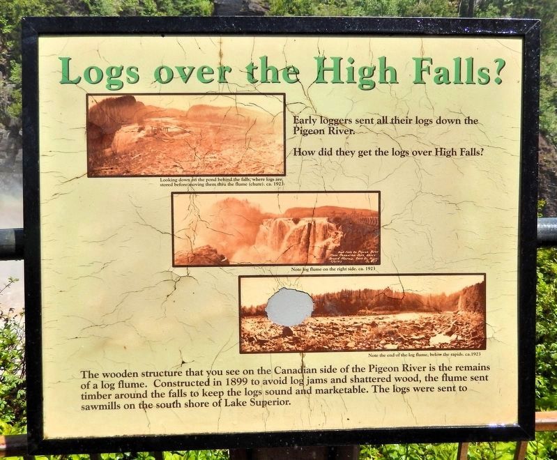
Early loggers sent all their logs down the Pigeon River. How did they get the logs over High Falls?
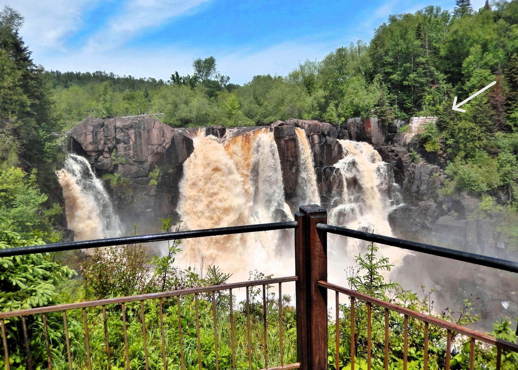
The wooden structure that you can see on the Canadian side of the Pigeon River is the remains of a log flume. Constructed in 1899 to avoid log jams and shattered wood, the flume sent timber around the falls to keep the logs sound and marketable. The logs were sent to sawmills on the south shore of Lake Superior.
[photo captions]
• Looking down on the pond behind the falls, where logs are stored before moving them thru the flume (chute). ca. 1923
• Note log flume on the right side. ca. 1923
• Note the end of the log flume, below the rapids. ca. 1923
Topics. This historical marker is listed in these topic lists: Horticulture & Forestry • Industry & Commerce • Waterways & Vessels. A significant historical year for this entry is 1899.
Location. 48° 0.262′ N, 89° 35.881′ W. Marker is in Grand Portage, Minnesota, in Cook County. It can be reached from Voyageur Highway (State Highway 61) 0.4 miles east of Ryden Road, on the left when traveling east. The marker is located at the High Falls Overlook in Grand Portage State Park.
this page online

Regionally, this marker is on the Boundary Waters Canoe Area Wilderness, in the Arrowhead Region, in the Iron Range, and in the North Shore. It is also in the American Midwest and in the Corn Belt. Globally, it is in North America, in the Great North Woods, on the Great Lakes, on Lake Superior’s North Shore, in the Western Hemisphere, in the Western World, and in the Anglosphere. Historically, it finds itself in what was once the Viceroyalty of New France, Rupert’s Land, the territory of the Mississippian Culture, and the Northwest Territory.
Other nearby markers. At least 8 other markers are within 5 miles of this marker, measured as the crow flies: High Falls (a few steps from this marker); Minnesota's Northern Border / Welcome to Minnesota (approx. 0.4 miles away); Webster-Ashburton Treaty of 1842 (approx. half a mile away); Confluence of Cultures (approx. 2.8 miles away); Holy Rosary Catholic Church (approx. 4.7 miles away); 20th-Century Grand Portage
Photographed by Cosmos Mariner, June 21, 2024
2. Logs over the High Falls? Marker
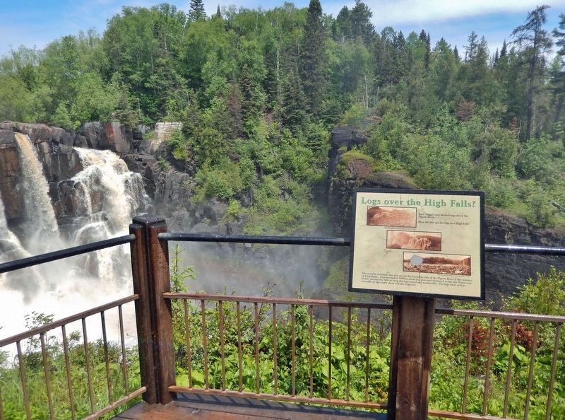
Looking across the High Falls of the Pigeon River from the High Falls Overlook. This overlook is about ½-mile from the Grand Portage State Park Welcome Center. Access is via the High Falls Trail.
Also see . . . High Falls History (OnLakeSuperior.com).
(By Emily Macgillivray) Excerpt: After land cession treaties in the mid-nineteenth century ceded land to the United States and British Canada, the logging industry grew on both sides of the border. On the Canadian side, white pines were cut by Arrow Lake and sent to Whitefish Lake by a log slide at the western end of the lake. Then the logs would float through Whitefish to the Little Whitefish River, to the Arrow River, and to the Pigeon River, where they would finally enter Lake Superior. Some of these white pine were then floated to present-day Thunder Bay and were used as pilings for the docks at the grain elevators. Logs were also cut in nearby areas and floated down other tributaries of the Pigeon River. When standing on the American side of High Falls today, you can still see remnants of the log flume that was used to drop the logs from the top of High Falls to the bottom.(Submitted on March 2, 2025, by Cosmos Mariner of Cape Canaveral, Florida.)
Photographed by Cosmos Mariner, June 21, 2024
3. High Falls of the Pigeon River
View from the High Falls Overlook. The log flume ruins are visible beside the falls, near the top right corner of this photo.
Photographed by Cosmos Mariner, June 21, 2024
4. High Falls of the Pigeon River
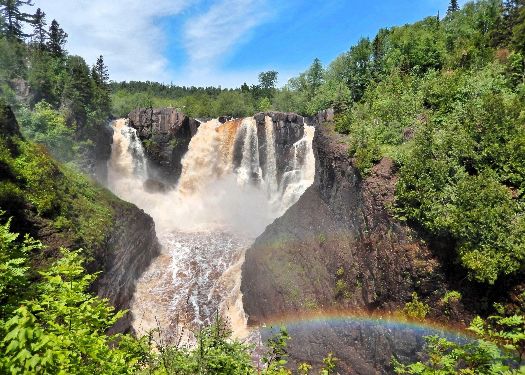
The High Falls of the Pigeon River is Minnesota’s highest waterfall, plummeting 120 feet into a narrow rocky gorge.
Credits. This page was last revised on March 2, 2025. It was originally submitted on March 2, 2025, by Cosmos Mariner of Cape Canaveral, Florida. This page has been viewed 255 times since then and 33 times this year. Photos: 1, 2, 3, 4. submitted on March 2, 2025, by Cosmos Mariner of Cape Canaveral, Florida.
