Fort Caswell near Caswell Beach in Brunswick County, North Carolina — The American South (South Atlantic)
A Timeline of Fort Caswell
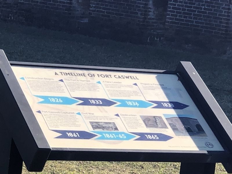
Photographed by Duane and Tracy Marsteller, November 25, 2024
1. A Timeline of Fort Caswell Marker
Remainder of text unreadable.
1833: The Fort is Named
Remainder of text unreadable.
1836: A New Leader
Remainder of text unreadable.
1838: Project is Finished
Remainder of text unreadable.
1861: Fort Caswell Captured
Remainder of text unreadable.
1861-65: Civil War
Remainder of text unreadable.
1865: Destruction
Remainder of text unreadable.
Topics and series. This historical marker is listed in these topic lists: Forts and Castles • Military • War, US Civil. In addition, it is included in the National Register of Historic Places (NRHP) series list. A significant historical year for this entry is 1826.
Location. 33° 53.607′ N, 78° 1.022′ W. Marker is near Caswell Beach, North Carolina, in Brunswick County. It is in Fort Caswell. It can be reached from Caswell Beach Road 2½ miles east of Oceangreens Lane. Touch for map. Marker is in this post office area: Oak Island NC 28465, United States of America. Touch for directions.

Regionally, this marker is in the Coastal Plain and on the Cape Fear Coast. It is also in the American South, specifically in the Upper South,
this page online
Other nearby markers. At least 8 other markers are within 2 miles of this marker, measured as the crow flies: Fort Caswell (here, next to this marker); Fort Caswell in the Civil War (within shouting distance of this marker); Guns of Fort Caswell During the Civil War (within shouting distance of this marker); Battery Madison (about 600 feet away, measured in a direct line); Battery Bagley (approx. half a mile away); Battery Shipp (approx. 0.6 miles away); Catalino Tingzon (approx. 1.6 miles away); (Map of the First 100 Lots) (approx. 1.7 miles away). Touch for a list and map of all markers in Caswell Beach.
More about this marker. Access to Fort Caswell, now a private Baptist retreat and conference center, is limited to authorized visitors as well as during
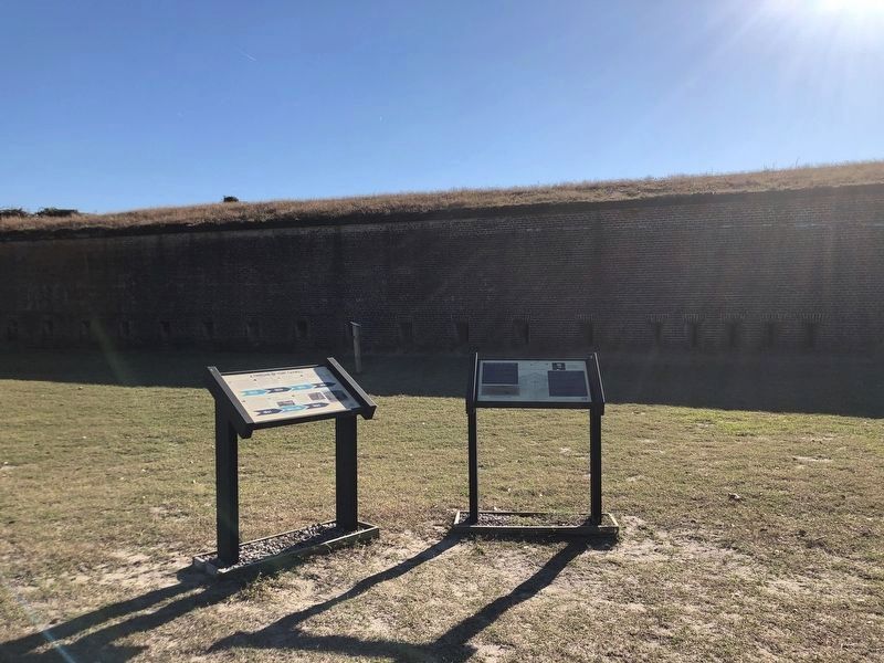
Photographed by Duane and Tracy Marsteller, November 25, 2024
2. A Timeline of Fort Caswell Marker
Featured marker is on the left.
Also see . . .
1. Fort Caswell Historic District (PDF). National Register of Historic Places nomination for the district, which was listed in 2013. (Prepared by Jennifer Martin Mitchell; via North Carolina State Historic Preservation Office) (Submitted on March 4, 2025, by Duane and Tracy Marsteller of Murfreesboro, Tennessee.)
2. The Splendor of Fort Caswell. Eastern North Carolina is rich in American history and historical sites. One within an hour’s drive of Wilmington is lesser-known Fort Caswell. It lies on the eastern end of Oak Island at the convergence of the Cape Fear River and Atlantic Ocean, between Southport on the Brunswick County mainland and 12,000-acre Bald Head Island. (Pat Bradford, Wrightsville Beach Magazine, Oct. 30, 2023) (Submitted on March 4, 2025, by Duane and Tracy Marsteller of Murfreesboro, Tennessee.)
Credits. This page was last revised on March 5, 2025. It was originally submitted on March 3, 2025, by Duane and Tracy Marsteller of Murfreesboro, Tennessee. This page has been viewed 180 times since then and 22 times this year. Photos: 1, 2. submitted on March 3, 2025, by Duane and Tracy Marsteller of Murfreesboro, Tennessee.
Editor’s want-list for this marker. Clear, legible closeup photograph of marker • Complete text of marker • Can you help?
