Dandridge in Jefferson County, Tennessee — The American South (East South Central)
Fighting at Dandridge
Midwinter Clash
Photographed by Tom Bosse, December 16, 2016
1. Fighting at Dandridge Marker
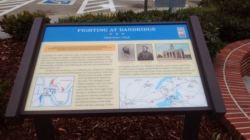
On January 14, 1864, Union Gen. John G. Parke advanced in to this area in search of forage and supplies. Confederate Gen. James Longstreet, whose army was in winter quarters nearby, planned to attack the Federals. Union Gen. Samuel D. Sturgis led his cavalry into Dandridge on January 15, with the remainder of Parke's corps following the next day and concentrating in and around the town.
At about noon on January 17, Confederate Gen. Bushrod R. Johnson's men charged down the Chucky road against the Union positions while Gen. Micah Jenkin's brigade attacked down the Morristown Road from the north. The onslaught caused Federal brigades under Gen. Oscar LaGrange and Gen. Israel Garrard to
this page online
Erected by Tennessee Civil War Trails.
Topics and series. This historical marker is listed in this topic list: War, US Civil. In addition, it is included in the Tennessee Civil War Trails series list. A significant historical date for this entry is January 17, 1864.
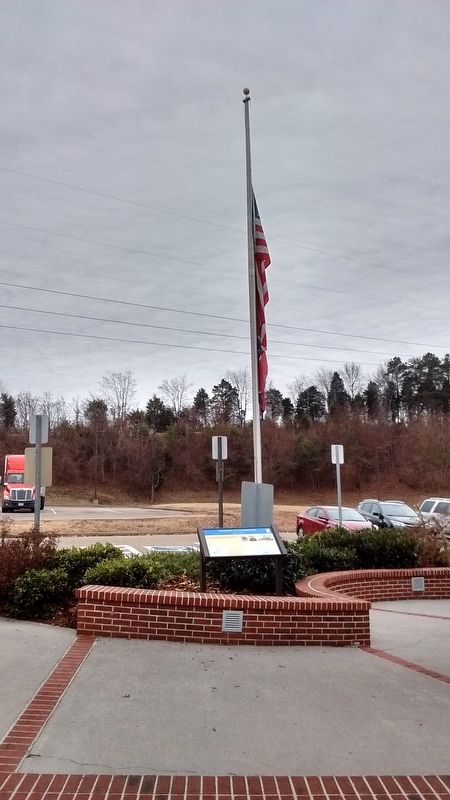
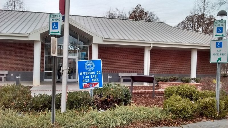
Location. This marker has been replaced by another marker nearby. It was located near 36° 3.1′ N, 83° 24.671′ W. Marker was in Dandridge, Tennessee, in Jefferson County. It could be reached from Interstate 40 1.8 miles east of Tennessee Route 92, on the right when traveling east. This marker is located in front of the entrance to the Jefferson County Rest Area on I-40E. Touch for map.
Photographed by Tom Bosse, December 16, 2016
2. Fighting at Dandridge Marker

Regionally, this marker was in East Tennessee. It was also in the American South, specifically in the Upper South, in Appalachia, and specifically in Southern Appalachia. Globally, it was in North America, the Western Hemisphere, the Western World, and the Anglosphere. Historically, it found itself in what was once the original Cherokee Nation, the territory of the Mississippian Culture, one of the Confederate States of America, the State of Franklin, and the Antebellum South.
Other nearby markers. At least 8 other markers are within 3 miles of this location, measured as the crow flies: Tennessee Civil War Trails (here, next to this marker); Seabolt / Harris (approx. 2.3 miles away); McCuistion (approx. 2.3 miles away); Hopewell Presbyterian Church Dandridge, TN (approx. 2.3 miles away); Dandridge (approx. 2.4 miles away); Battle of Dandridge (approx. 2½ miles away); Attack on Dandridge (approx. 2½ miles away); Jefferson County Jail (approx. 2½ miles away). Touch for a list and map of all markers in Dandridge.
Related marker. Click here for another marker that is related to this marker. New Replacement CWT Marker At This Location titled "Tennessee Civil War Trails".
Photographed by Tom Bosse, December 16, 2016
3. Fighting at Dandridge Marker
Photographed by Tom Bosse
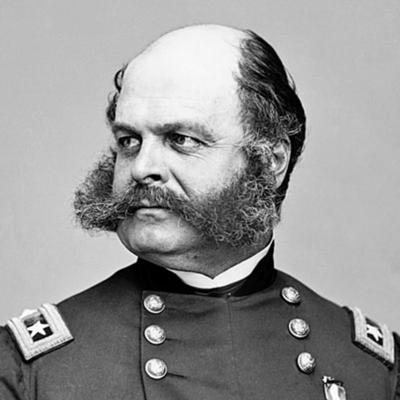
4. Gen. Ambrose Burnside
Photographed by Tom Bosse
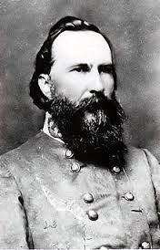
5. Gen. James Longstreet
Credits. This page was last revised on March 5, 2025. It was originally submitted on January 14, 2017, by Tom Bosse of Jefferson City, Tennessee. This page has been viewed 1,307 times since then and 56 times this year. Last updated on March 4, 2025, by Mark Parker of Hickory, North Carolina. Photos: 1, 2, 3, 4, 5. submitted on January 14, 2017, by Tom Bosse of Jefferson City, Tennessee. • Bernard Fisher was the editor who published this page.
