Springfield Township in Sangamon County, Illinois — The American Midwest (Great Lakes)
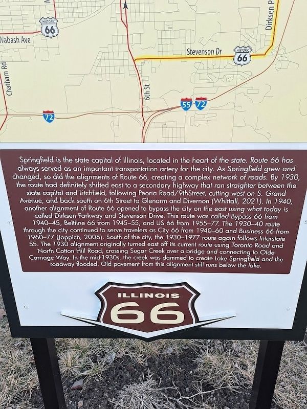
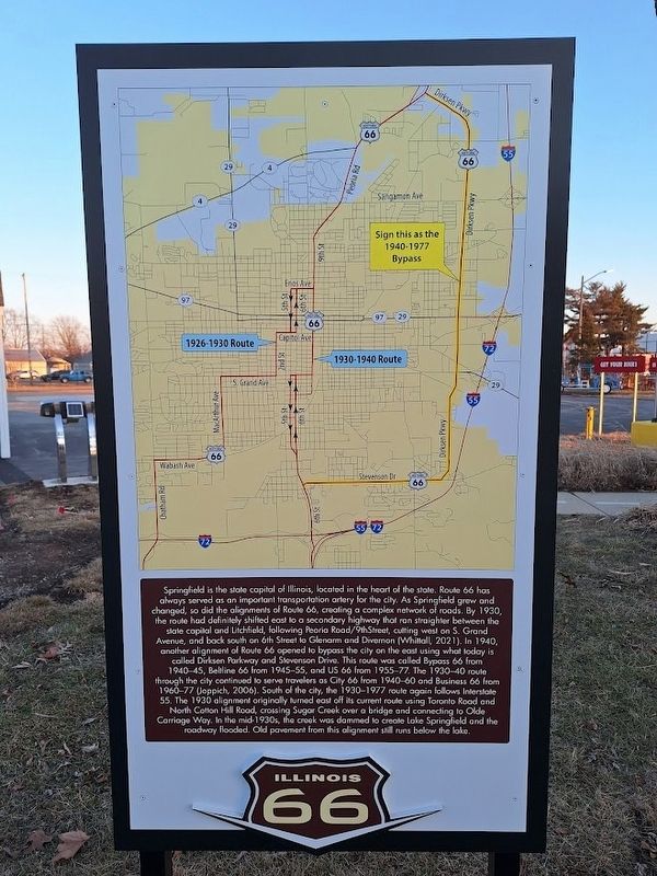
Route 66 Alignments in Springfield
Photographed by Jason Voigt, February 23, 2025
1. Route 66 Alignments in Springfield Marker
this page online
Erected by Illinois Route 66 Scenic Byway.
Topics and series. This historical marker is listed in this topic list: Roads & Vehicles. In addition, it is included in the U.S. Route 66 series list. A significant historical year for this entry is 1930.
Location. 39° 49.934′ N, 89° 38.226′ W. Marker is in Springfield, Illinois, in Sangamon County. It is in Springfield Township. It can be reached from North Peoria Road (Business Interstate 55) north of Sangamon Avenue. Marker is located at the permanent Route 66 Experience exhibition, on the Illinois State Fairgrounds. Touch for map. Marker is at or near this postal address: 2305 N Peoria Rd, Springfield IL 62702, United States of America. Touch for directions.

Regionally, this marker is in Central Illinois. It is also in the American Midwest and in the Corn Belt. Globally, it is in North America, the Western Hemisphere, the Western World, and the Anglosphere. Historically, it finds itself in what was once the
Photographed by Jason Voigt, February 23, 2025
2. Route 66 Alignments in Springfield Marker
Marker includes a map of the Route 66 alignments in Springfield.
Other nearby markers. At least 8 other markers are within walking distance of this marker: The Illinois State Fairgrounds Route 66 Experience (a few steps from this marker); Chain of Rocks Bridge (a few steps from this marker); Illinois - Where The Mother Road Begins! (a few steps from this marker); Giants on Route 66 in Illinois (within shouting distance of this marker); Bel-Air Drive-In (within shouting distance of this marker); The Coliseum (within shouting distance of this marker); Chain of Rocks Motel (within shouting distance of this marker); 66 Drive-In Theatre (within shouting distance of this marker). Touch for a list and map of all markers in Springfield.
Regarding Route 66 Alignments in Springfield. The exhibit is permanent and is open to the public all year-round.
Photographed by Jason Voigt, February 23, 2025
3. Route 66 Alignments in Springfield Marker
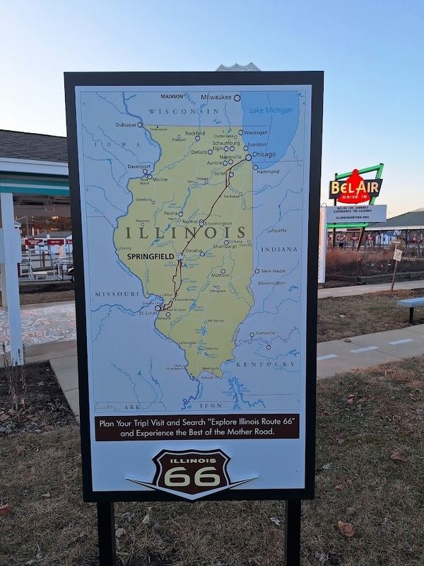
back of marker includes a picture of Illinois Route 66 map
Photographed by Jason Voigt, February 23, 2025
4. Route 66 Alignments in Springfield Marker
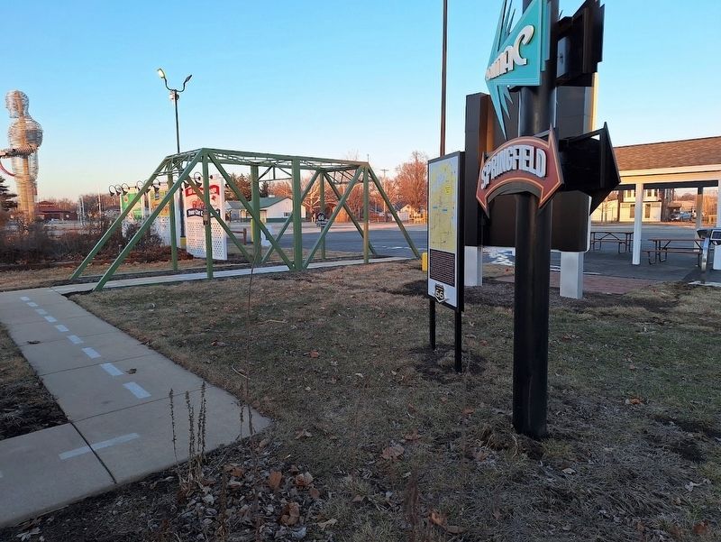
Marker is on the grounds of the Illinois Route 66 Experience at the State Fairgrounds.
Credits. This page was last revised on March 4, 2025. It was originally submitted on March 4, 2025, by Jason Voigt of Glen Carbon, Illinois. This page has been viewed 917 times since then and 534 times this year. Photos: 1, 2, 3, 4. submitted on March 4, 2025, by Jason Voigt of Glen Carbon, Illinois.
