Society Hill in Philadelphia in Philadelphia County, Pennsylvania — The American Northeast (Mid-Atlantic)
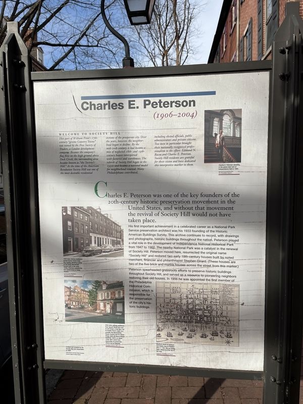
Charles E. Peterson (1906 - 2004)
⎯⎯⎯
Edmund N. Bacon
Photographed by Devry Becker Jones (CC0), February 26, 2022
1. Charles E. Peterson (1906 - 2004) side of the marker
Welcome to Society Hill
This part of William Penn's 17th-century "green Country Towne" was owned by the Free Society of Traders, a London development company. Because the company's flag flew on the high ground above Dock Creek, the surrounding area became known as "the Society's Hill." At the time of the American Revolution Society Hill was one of the most desirable residential sections of the prosperous city. Over the years, however, the neighborhood began to decline. By the mid-20th century it had become a mix of neglected 18th- and 19th-century houses interspersed with factories and warehouses. the rebirth of Society Hill began in the 1950s and became a national model for neighborhood renewal. Many Philadelphians contributed including elected officials, public administrators and private citizens. Two men in particular brought their nationally recognized professionalism to the effort: Edmund N. Bacon and Charles E. Peterson. Society Hill residents are grateful for their vision and have dedicated this interpretive marker to them.
Charles E. Peterson
(1906 - 2004)
Charles E. Peterson was one of the key founders of the 20th-century historic preservation movement in the United States, and without that movement the revival of Society Hill would not have taken place.
His
this page online
Peterson spearheaded grassroots efforts to preserve historic buildings throughout Society Hill, and served as a resource to pioneering neighbors restoring their old houses. In 1956 he was appointed the first member of the Philadelphia Historical Commission, which is responsible for the preservation of the city's historic buildings.
Captions
Charles E. Peterson standing in the grand stair hall of Independence Hall in 1954.
1959 view, looking southwest across Spruce Street from this marker, showing a group of live brick and marble houses built in the early 1830s. Peterson restored the two westernmost of these houses.
2004 view, looking northwest from Spruce Street just east of 2nd Street, of the Man Full of Trouble Tavern (right foreground), the Abercrombie House (center) and the Neave House (left). All three of these buildings, built in or about 1759 were saved from destruction by grassroots efforts led by Peterson.
Modified detail of Clarkson and Biddle map of Philadelphia in 1762. You are facing west, which is at the top of the map.
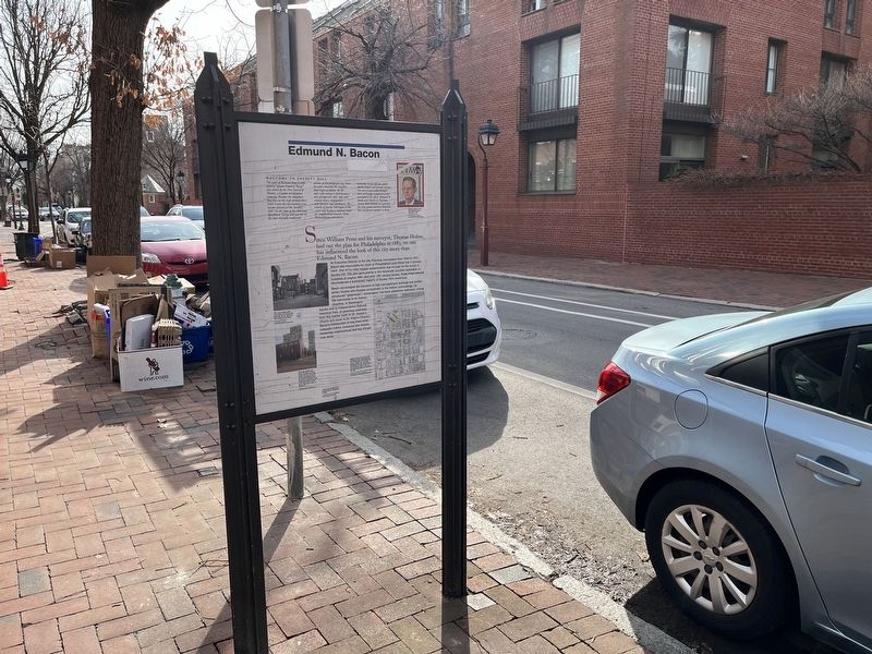
Edmund N. Bacon
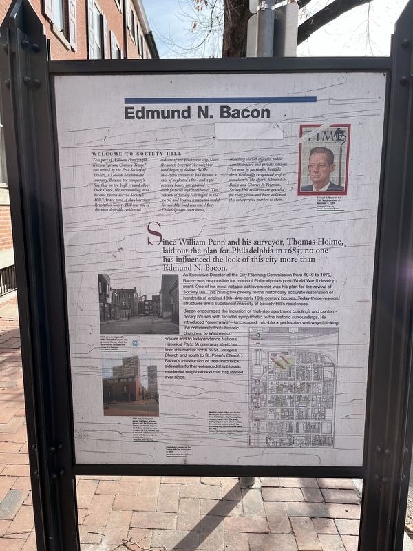
Since William Penn and his surveyor, Thomas Holme laid out the plan for Philadelphia in 1683, no one has influenced the look of this city more than Edmund N. Bacon.
As
Photographed by Devry Becker Jones (CC0), February 26, 2022
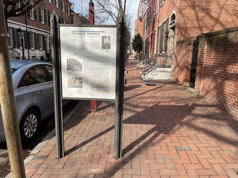
2. Charles E. Peterson (1906 - 2004) side of the marker
Bacon encouraged the inclusion of high-rise apartment buildings and contemporary houses with facades sympathetic to the historic surroundings. He introduced "greenways"—landscaped, mid-block pedestrian walkways—linking the community to its historic churches, to Washington Square and to Independence National Historical Park. (A greenway stretches from this marker north to St. Joseph's Church and south to St. Peter's Church.) Bacon's introduction of tree-lined brick sidewalks further enhanced this historic residential neighborhood that has thrived ever since.
Captions
Edmund N. Bacon on the cover of Time Magazine cover of November 6, 1964
1961 view, looking south, of the street that became this greenway. You are where the light-colored car is parked.
2004 view, looking east across 3rd Street, of townhouses with the Society Hill Towers apartments beyond. All of these structures were designed by I.M. Pei and built in the early 1960s in accordance with Bacon's plan for Society Hill.
Modified portion of the plan for the Washington Square Redevelopment Area, Philadelphia City Planning Commission, August 1961. The green highlighting has been added to show the greenway system as built. You are facing east, which is at the top of the map.
Erected 2005
Topics and series. This historical marker is listed in these topic lists: Architecture • Charity & Public Work • Colonial Era • Settlements & Settlers. In addition, it is included in the Historic American Buildings Survey series list. A significant historical month for this entry is August 1961.
Location. 39° 56.694′ N, 75° 8.863′ W. Marker is in Philadelphia, Pennsylvania, in Philadelphia County. It is in Society Hill. It is at the intersection of Spruce Street and St. Josephs Way, on the right when traveling west on Spruce Street. Touch for map. Marker is at or near this postal address: 319 Spruce St, Philadelphia PA 19106, United States of America. Touch for directions.

Regionally, this marker is in Southeast Pennsylvania. It is also in the American Northeast and in the Mid-Atlantic. Globally, it is in North America, the Western Hemisphere, the Western World, and the Anglosphere. Historically, it finds itself in what was once the Haudenosaunee (Iroquois) Confederacy, New Netherland, and one of the original Thirteen Colonies.
Other nearby markers. At least 8 other markers are within
Credits. This page was last revised on March 7, 2025. It was originally submitted on March 2, 2022, by Devry Becker Jones of Washington, District of Columbia. This page has been viewed 329 times since then and 39 times this year. Last updated on March 6, 2025, by Douglass Halvorsen of Klamath Falls, Oregon. Photos: 1, 2, 3, 4. submitted on March 2, 2022, by Devry Becker Jones of Washington, District of Columbia. • J. Makali Bruton was the editor who published this page.
