Mountain Brook in Jefferson County, Alabama — The American South (East South Central)
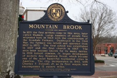
Mountain Brook
Erected 1997 by Birmingham-Jefferson Historical Society and the City of Mountain Brook.
Topics. This historical marker is listed in these topic lists: Churches & Religion • Education • Industry & Commerce • Settlements & Settlers • War, US Civil. A significant historical year for this entry is 1821.
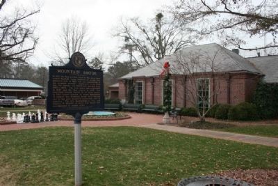
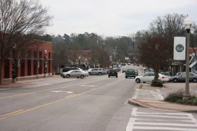
Location. 33° 30.126′ N, 86° 45.342′ W. Marker is in Mountain Brook, Alabama, in Jefferson County. Marker is on Church Street, on the right when traveling east. Located in front of the Mountain Brook City Hall. Touch for map. Marker is at or near this postal address: 56 Church Street, Birmingham AL 35213, United States of America. Touch for directions.
Other nearby markers. At least 8 other markers are within 2 miles of this marker, measured as the crow flies. Canterbury United Methodist Church (approx. 0.9 miles away); Forest Park (approx. 1.2 miles away); Oldest House In Shades Valley / Irondale Furnace Commissary (approx. 1.2 miles away); Robert Jemison, Jr. (1878-1974) / The Old Mill (1927) (approx. 1.4 miles away); Independent Presbyterian Church (approx. 1.4 miles away); Lane Park (approx. 1˝ miles away); King's Spring (approx. 1˝ miles away); First Tuberculosis Sanatorium (approx. 1.6 miles away). Touch for a list and map of all markers in Mountain Brook.
Credits. This page was last revised on June 16, 2016. It was originally submitted on January 23, 2010, by Timothy Carr of Birmingham, Alabama. This page has been viewed 1,971 times since then and 46 times this year. Photos: 1, 2, 3. submitted on January 23, 2010, by Timothy Carr of Birmingham, Alabama. • Craig Swain was the editor who published this page.


