Pocatello in Bannock County, Idaho — The American West (Mountains)
Pocatello History
Photographed by Cosmos Mariner, July 8, 2024
1. Pocatello History Marker
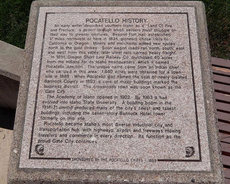
An early writer described southern Idaho as a “Land Of Fire and Fracture,” a desert through which settlers must struggle on their way to greener pastures. Beyond Fort Hall, established 17 miles northwest of here in 1834, pioneers chose trails to California or Oregon. Miners and merchants added new routes north to the gold strikes. Soon wagon roads ran north, south, east and west from this valley, later steel rails carried heavy freight.
In 1881 Oregon Short Line Railway Co. purchased 40 acres from the Indians for its Idaho headquarters which it named Pocatello Junction. The unique name came from an Indian chief who camped in this area. 1,840 acres were obtained for a townsite in 1888. When Pocatello was named the seat of newly created Bannock County in 1893, a core of major buildings marked the business district. This crossroads town was soon known as the “Gate City.”
The Academy of Idaho opened in 1902. By 1963 it had evolved into Idaho State University. A building boom in the 1914-21 period produced many of the city’s finest and tallest buildings, including the seven-story Bannock Hotel tower formerly on this site.
Pocatello
this page online
Erected 1989 by Leadership Pocatello, Greater Pocatello Chamber of Commerce, and the City of Pocatello.
Topics. This historical marker is listed in these topic lists: Education • Indigenous Peoples and Communities • Industry & Commerce • Railroads & Streetcars. A significant historical year for this entry is 1881.
Location. 42° 51.658′ N, 112° 27.096′ W. Marker is in Pocatello, Idaho, in Bannock County. It can be reached from the intersection of South Arthur Avenue and Center Street, on the right when traveling south. The marker is located near the fountain in Simplot Square. Touch for map. Marker is at or near this postal address: 155 South Arthur Avenue, Pocatello ID 83204, United States of America. Touch for directions.

Regionally, this marker is in Bear River Country. It is also in the American Mountain West. Globally, it is in North America, the Western Hemisphere, the
Photographed by Cosmos Mariner, July 8, 2024
2. Pocatello History Marker
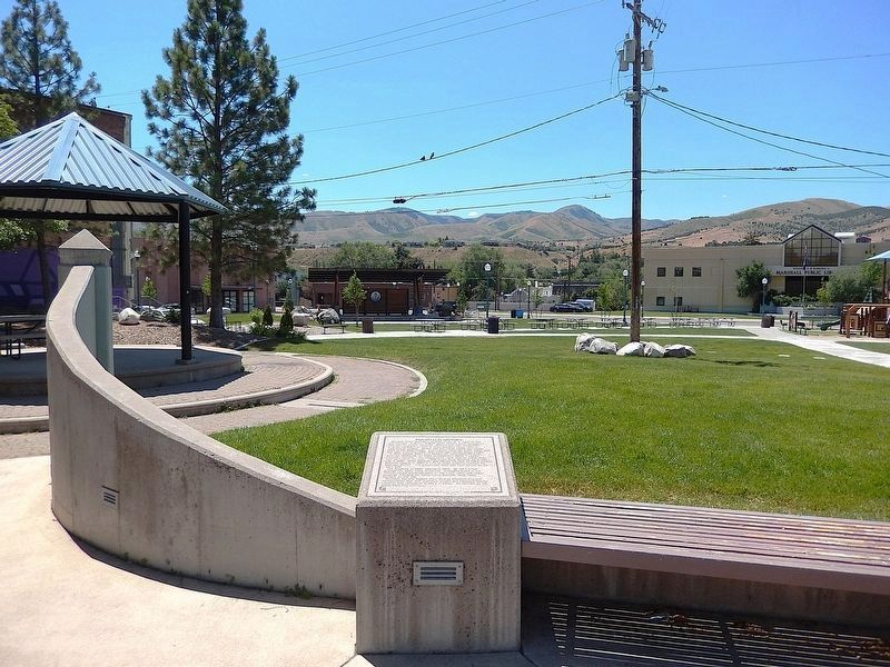
The marker is inscribed atop the concrete pedestal.
Other nearby markers. At least 8 other markers are within walking distance of this marker: Railroad History (here, next to this marker); Simplot (here, next to this marker); American Indian Heritage (here, next to this marker); The Bannock Hotel (here, next to this marker); Nearby Historic Buildings (a few steps from this marker); Volcanic Activity Near Pocatello (a few steps from this marker); Pocatello — Area Geology (a few steps from this marker); The Great Bonneville Flood (a few steps from this marker). Touch for a list and map of all markers in Pocatello.
Also see . . . Pocatello, Idaho (Wikipedia).
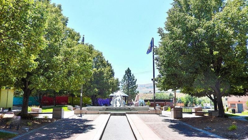
Excerpt: Although thousands of immigrants passed through Idaho, it was not until the discovery of gold in 1860 that Idaho attracted settlers in large numbers. The gold rush brought a need for goods and services to many towns, and the Portneuf Valley, home of Pocatello, was the corridor initially used by stage and freight lines. The coming of the railroad provided further development of Idaho's mineral resources and “Pocatello junction” became an important transportation crossroads(Submitted on March 11, 2025, by Cosmos Mariner of Cape Canaveral, Florida.)as the Union Pacific Railroad expanded its service. As pioneers, gold miners and settlers traveled the Oregon Trail, they passed through the Portneuf Gap south of town. Stage and freight lines and the railroad soon followed, turning the community into a trade center and transportation junction.Photographed by Cosmos Mariner, July 8, 20243. Pocatello History MarkerLooking south through Simplot Square. The marker is behind the fountain, on the right.
Credits. This page was last revised on March 12, 2025. It was originally submitted on March 8, 2025, by Cosmos Mariner of Cape Canaveral, Florida. This page has been viewed 300 times since then and 42 times this year. Photos: 1, 2, 3. submitted on March 11, 2025, by Cosmos Mariner of Cape Canaveral, Florida.
