Chesterton in Porter County, Indiana — The American Midwest (Great Lakes)
Cowles Bog
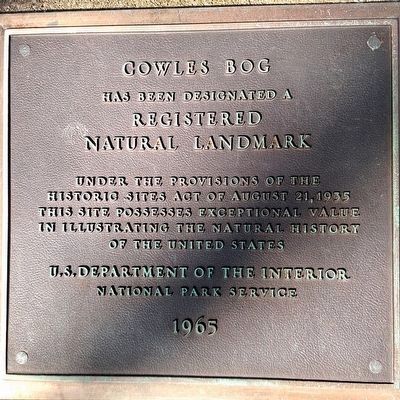
Photographed by Dan Fisher, November 8, 2015
1. Cowles Bog Marker
Registered
Natural Landmark
under the provisions of the
Historic Sites Act of August 21, 1935
This site possesses exceptional value
in illustrating the natural history
of the United States
Erected 1965 by National Park Service, U.S. Department of the Interior.
Topics and series. This historical marker is listed in this topic list: Environment. In addition, it is included in the National Natural Landmarks series list.
Location. 41° 38.7′ N, 87° 5.217′ W. Marker is in Chesterton, Indiana, in Porter County. It can be reached from the intersection of West Dunes Highway (U.S. 12) and North Mineral Springs Road, on the right when traveling west. Touch for map. Marker is in this post office area: Chesterton IN 46304, United States of America. Touch for directions.

Regionally, this marker is in Northwest Indiana, specifically on the Indiana Dunes and Lake Michigan Shore, and in the Calumet Region. It is also in the American Midwest and in the Corn Belt. Globally, it is in North America, on the Great Lakes, in the Western Hemisphere,
this page online
Other nearby markers. At least 8 other markers are within 2 miles of this marker, measured as the crow flies: Dunes Hi-Way (approx. 1.2 miles away); Chellberg Farm and the Swedish Community (approx. 1.3 miles away); History of the Dunes (approx. 1.3 miles away); The Calumet Region, 1822-1835 (approx. 1½ miles away); A Rain Garden (approx. 1½ miles away); Indiana State Parks: the First 100 Years 1916-2016 (approx. 1.6 miles away); Iron Brigade (approx. 1.6 miles away); Daylighting: Getting Dunes Creek Out of the Pipe (approx. 1.7 miles away). Touch for a list and map of all markers in Chesterton.
Other markers no longer nearby. The Bailly Homestead (was approx. 1.6 miles away but has been confirmed missing); Highways of the Past (was approx. 1.6 miles away but has been confirmed missing).
Also see . . .
1. Indiana Dunes National Lakeshore. National Park Service (Submitted on November 22, 2015.)
2. Cowles Bog - Wikipedia entry. (Submitted on November 27, 2015, by Duane Hall of Abilene, Texas.)
3. Cowles Bog Restoration Project.
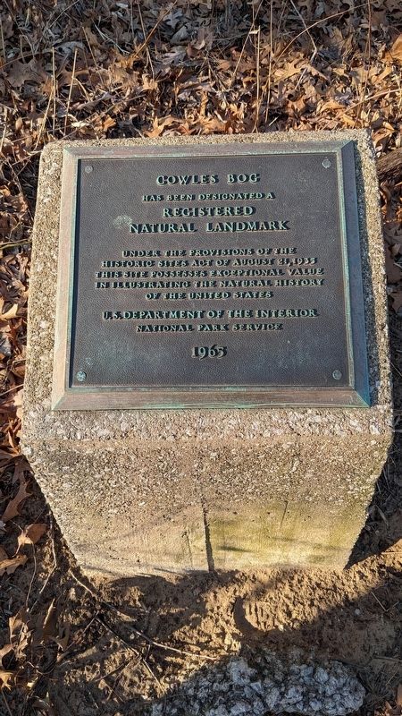
Photographed by Daniel Barriball, March 8, 2025
2. Cowles Bog Marker
In the early 1900's Cowles Bog Wetland Complex gained recognition for its unique biodiversity and landscape...Given the closeness of this unusual natural resource to Chicago, Cowles Bog Wetland Complex was commonly explored by students and their instructors.(Submitted on March 9, 2025, by Daniel Barriball of Chesterton, Indiana.)
4. Henry Chandler Cowles. NPS biography of Dr. Henry Chandler Cowles, the namesake of Cowles Bog.
“Many of these species are found nowhere for many miles outside of the dune region, so that failure to conserve the dunes would result in the extinction of this wonderful flora for all time.”(Submitted on March 9, 2025, by Daniel Barriball of Chesterton, Indiana.)
5. National Natural Landmarks: Cowles Bog. (Submitted on March 9, 2025, by Daniel Barriball of Chesterton, Indiana.)
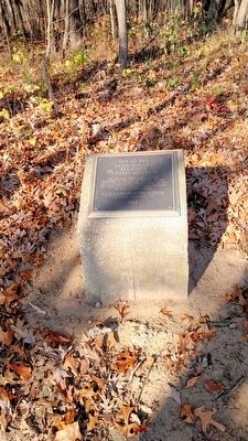
Photographed by Dan Fisher, November 8, 2015
3. Cowles Bog Marker
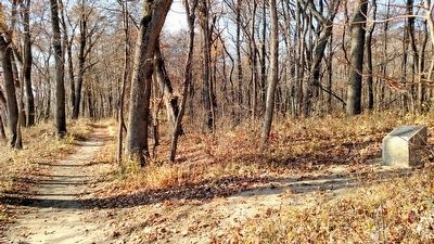
Photographed by Dan Fisher, November 8, 2015
4. Cowles Bog Marker
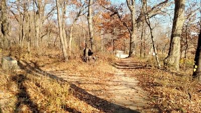
Photographed by Dan Fisher, November 8, 2015
5. Cowles Bog Marker
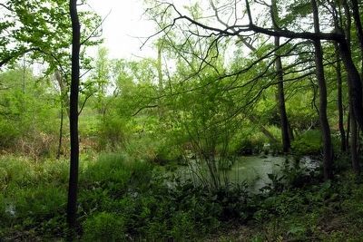
Photographed by Duane Hall, June 25, 2011
6. Cowles Bog as viewed from Trail
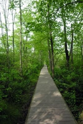
Photographed by Duane Hall, June 25, 2011
7. Trail Boardwalk crossing Cowles Bog
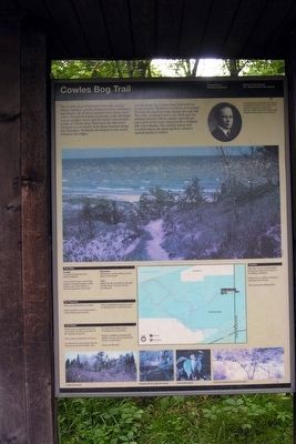
Photographed by Duane Hall, June 25, 2011
8. Trail Information Sign at Cowles Bog Trail Head
Credits. This page was last revised on March 9, 2025. It was originally submitted on November 22, 2015, by Bernard Fisher of Richmond, Virginia. This page has been viewed 786 times since then and 30 times this year. Last updated on March 9, 2025, by Daniel Barriball of Chesterton, Indiana. Photos: 1. submitted on November 22, 2015, by Bernard Fisher of Richmond, Virginia. 2. submitted on March 9, 2025, by Daniel Barriball of Chesterton, Indiana. 3, 4, 5. submitted on November 22, 2015, by Bernard Fisher of Richmond, Virginia. 6, 7, 8. submitted on November 27, 2015, by Duane Hall of Abilene, Texas. • J. Makali Bruton was the editor who published this page.
