Danville, Virginia — The American South (Mid-Atlantic)
Ballou Park History
Interpretative Nature Trail
Photographed by C. Ryan Dodson, March 8, 2025
1. Ballou Park History Marker
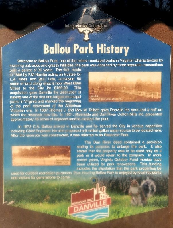
Welcome to Ballou Park, one of the oldest municipal parks in Virginia! Characterized by towering oak trees and grassy hillsides, the park was obtained by three separate transactions over a period of 30 years. The first, made in 1886 by F.M Hamlin acting as trustee for L.A. Yates and W.L. Law, conveyed 50 acres of land along what is now West Main Street to the City for $100.00. This acquisition gave Danville. the distinction of having one of the first and largest municipal parks in Virginia and marked the beginning of the park movement of the American Victorian era. In 1887 Thomas J. and May M. Talbott gave Danville the acre and a half on which the reservoir now sits. In 1921, Riverside and Dan River Cotton Mills Inc. presented approximately 45 acres of adjacent land to expand the park.
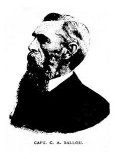
In 1873 C.A. Ballou arrived in Danville and he served the City in various capacities including Chief Engineer. He also proposed a 6 million gallon water source to be located here. After the reservoir was constructed, it was referred to as Reservoir Park.
The Dan River deed contained a provision stating its purpose: to enlarge the
this page online
(captions)
Ballou Park
Photo from Art Work of Danville, Virginia (1903).
Entrance to Ballou Park, Danville, Virginia
Photo from Chamber of Commerce (1920s).
Erected 2019 by City of Danville.
Topics. This historical marker is listed in this topic list: Parks & Recreational Areas. A significant historical year for this entry is 1886.
Location. 36° 34.577′ N, 79° 25.503′ W. Marker is in Danville, Virginia. It can be reached from Ballou Park Drive half a mile north of West Main Street (Virginia Route 293), on the right when traveling north. The Marker is located in Ballou Park near Picnic Shelter # 10 and the entrance to the Ballou Park nature trail. Touch for map. Marker is at or near this postal address: 760 West Main Street, Danville

Photographed by C. Ryan Dodson, March 8, 2025
2. Ballou Park History Marker

Regionally, this marker is in Southside Virginia and specifically in Central Virginia. It is also in the American South and specifically in the Upper South. Globally, it is in North America, the Western Hemisphere, the Western World, and the Anglosphere. Historically, it finds itself in what was once the territory of the Mississippian Culture, one of the original Thirteen Colonies, one of the Confederate States of America, and the Antebellum South.
Other nearby markers. At least 8 other markers are within walking distance of this marker: Flowering Dogwood (approx. 0.2 miles away); Basswood (approx. ¼ mile away); Memorial Drive (approx. 0.3 miles away); Site of the Schoolfield Recreation Center (approx. 0.4 miles away); Schoolfield (approx. half a mile away); Schoolfield Welfare Building (approx. half a mile away); The Cousins-Tulloch House (approx. half a mile away); Schoolfield School (approx. 0.6 miles away). Touch for a list and map of all markers in Danville.
Also see . . . Ballou Park. Danville Parks & Recreation (Submitted on March 11, 2025.)

Photographed by C. Ryan Dodson, March 8, 2025
3. Ballou Park History Marker
Photographed by C. Ryan Dodson, March 8, 2025
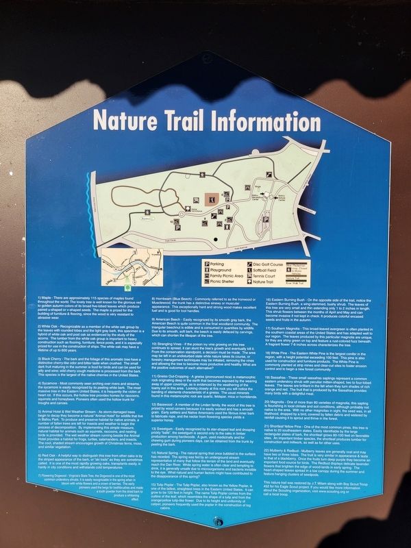
4. Nature Trail informational sign
Located adjacent to the Marker. Provided as part of an Eagle Scout project by J. T. Milan of Troop 452, Blue Ridge Mountains Council.
Photographed by C. Ryan Dodson, November 6, 2024
5. Ballou Park
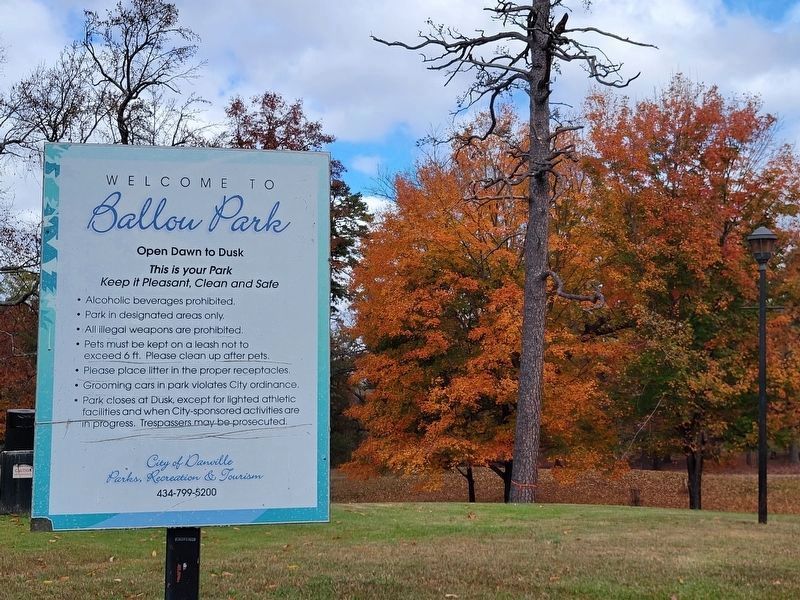
The Marker is located in Ballou Park, Danville's second oldest park and one of the oldest in Virginia. In addition to the nature trail, Ballou Park features a Senior Center, outdoor stage, splash pad, baseball field, tennis courts, an 18 hole disc golf course, horseshoe pits, permanent cornhole boards, a playground, picnic shelters, and public art. The park is named for long-time City Engineer Charles A. Ballou, a captain during the Civil War.
Photographed by C. Ryan Dodson, March 8, 2025
6. Riverwalk Trail mile zero marker
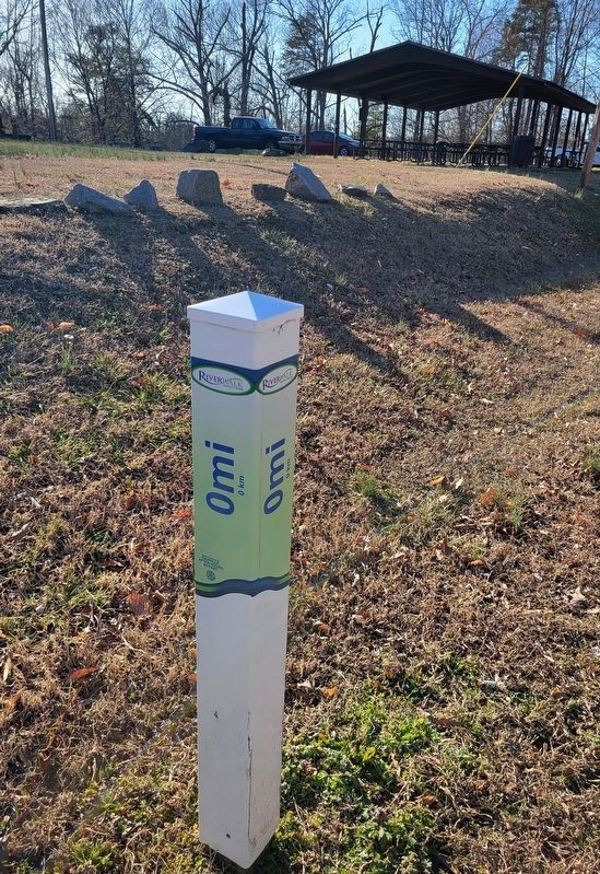
The Marker is located at the entrance to the Ballou Park nature trail which also serves as the starting point of the Danville Riverwalk Trail.
Photographed by C. Ryan Dodson
7. C. A. Ballou
Credits. This page was last revised on May 4, 2026. It was originally submitted on March 10, 2025, by C. Ryan Dodson of Danville, Virginia. This page has been viewed 249 times since then and 51 times this year. Photos: 1, 2, 3, 4, 5, 6. submitted on March 10, 2025, by C. Ryan Dodson of Danville, Virginia. 7. submitted on April 29, 2026. • Bernard Fisher was the editor who published this page.
