Near Monroe in Walton County, Georgia — The American South (South Atlantic)
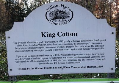
King Cotton
Photographed by Duane and Tracy Marsteller, November 26, 2024
1. King Cotton Marker
Upon acquiring the homestead property in 1836, William Harris grew cotton as the family's cash crop. Every inch of land not required for subsistence was planted in cotton and each year more land was cleared for additional production. In 1860, the Harris homestead had 280 ‘improved’ acres and produced seven 400 lb. bales of ginned cotton.
Erected 2016 by Walton County Soil and Water Conservation District.
Topics. This historical marker is listed in these topic lists: Agriculture • Settlements & Settlers. A significant historical year for this entry is 1793.
Location. 33° 53.703′ N, 83° 43.348′ W. Marker is near Monroe, Georgia, in Walton County. It can be reached from Winder-Monroe Highway (State Highway 11) 0.1 miles south
this page online

Regionally, this marker is in the Piedmont and in Metro Atlanta. It is also in the American South and specifically in the Deep South. Globally, it is in North America, the Western Hemisphere, the Western World, and the Anglosphere. Historically, it finds itself in what was once the territory of the Mississippian Culture, one of the original Thirteen Colonies, one of the Confederate States of America, and the Antebellum South.
Other nearby markers. At least 8 other markers are within walking distance of this marker: Boll Weevil Eradication Program (here, next to this marker); Harris Smokehouse (within shouting distance of this marker); Harris Blacksmith Shop (within shouting distance of this marker); “Improved” Land (within shouting distance of this marker); Harris Family Cemetery (about 300 feet away, measured in a direct line); The William Harris Homestead
Photographed by Duane and Tracy Marsteller, November 26, 2024
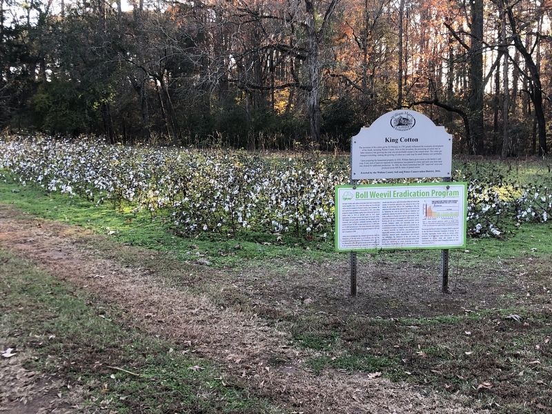
2. King Cotton Marker
Featured marker is on top.
Credits. This page was last revised on March 10, 2025. It was originally submitted on March 10, 2025, by Duane and Tracy Marsteller of Murfreesboro, Tennessee. This page has been viewed 132 times since then and 21 times this year. Photos: 1, 2. submitted on March 10, 2025, by Duane and Tracy Marsteller of Murfreesboro, Tennessee.
