Homestead in Miami-Dade County, Florida — The American South (South Atlantic)
Honeywell's Estate
Biscayne National Park
| — | National Park Service, U.S. Department of the Interior | — |
Photographed by Col. James F. Jamison, USMC (Ret), March 10, 2025
1. Honeywell’s Estate Marker
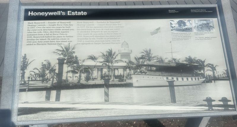
Mark Honeywell—founder of Honeywell Heating Controls—bought Boca Chita Key in 1937. Over the next two years he built the coral rock structures visible around you. After his wife, Olive, died from injuries sustained from a fall at Boca Chita in 1939, Honeywell halted his plans to further develop the island. He sold his estate in 1945 and, forty years later, this island was added to Biscayne Bay National Park.
Mark Honeywell—fundador de Honeywell Heating Controls—compró Boca Chita Key en 1937. En los siguientes dos años construyó las estructuras de roca de coral que usted ve alrededor. Después de que su esposa Olive murio de una caída en Boca Chita en 1939, Honeywell abandono sus planes para desarrollar la isla. Vendió su propiedad en 1945 y, cuarenta años dmas tarde, esta isla fue agregada al Parque Nacional Biscayne.
(captions)
Honeywell, as president of the "Committee of One Hundred"—a social club for industrialists—hosted many social events at Boca Chita from 1936-51.
People eating under the Boca Chita Pavillion.
The "Olivette" (below) anchored in the Boca Chita Harbor
Erected by National Park Service,
this page online
Topics. This historical marker is listed in these topic lists: Architecture • Industry & Commerce • Parks & Recreational Areas. A significant historical year for this entry is 1937.
Location. 25° 31.43′ N, 80° 10.508′ W. Marker is in Homestead, Florida, in Miami-Dade County. It can be reached from Southwest 328th Street. Marker is located on the southern shore Boca Chita Harbor. Touch for map. Marker is at or near this postal address: 9700 SW 328th St, Miami FL 33155, United States of America. Touch for directions.

Regionally, this marker is in South Florida, on the Gold Coast, and in Greater Miami. It is also in the American South and on the Eastern Seaboard. Globally, it is in the North Atlantic Region, North America, a Gulf of Mexico state, the Western Hemisphere, the Western World, and the Anglosphere. Historically, it finds itself in what was once New Spain, the territory of the Mississippian Culture, one of the Confederate States of America, and the Antebellum South.
Other nearby markers. At least 8 other markers are within 10 miles of this marker, measured as the crow
Photographed by Col. James F. Jamison, USMC (Ret), March 10, 2025
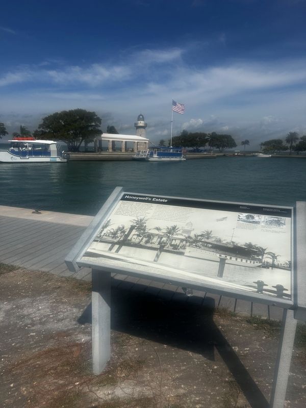
2. Honeywell’s Estate Marker on edge of small harbor
Also see . . . Biscayne National Park - Boca Chita Key. National Park Service (Submitted on March 11, 2025.)
Photographed by Col. James F. Jamison, USMC (Ret), March 10, 2025
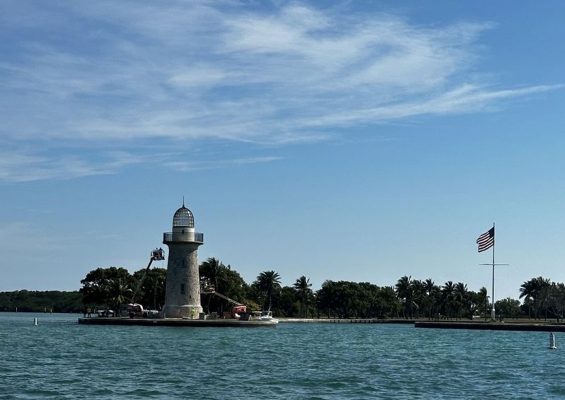
3. Entrance to Boca Chita Harbor
Photographed by James Hulse, January 9, 2026
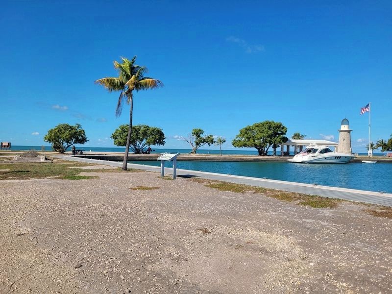
4. Honeywell's Estate Marker
Credits. This page was last revised on February 6, 2026. It was originally submitted on March 10, 2025, by Col. James F. Jamison, USMC (Ret) of Coronado, California. This page has been viewed 624 times since then and 214 times this year. Photos: 1, 2, 3. submitted on March 10, 2025, by Col. James F. Jamison, USMC (Ret) of Coronado, California. 4. submitted on February 6, 2026, by James Hulse of Medina, Texas. • Bernard Fisher was the editor who published this page.
