Sierra Madre in Los Angeles County, California — The American West (Pacific Coastal)
Sierra Madre Pioneer Cemetery
Photographed by Craig Baker
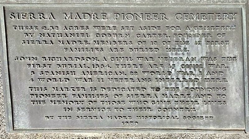
1. Sierra Madre Pioneer Cemetery Marker
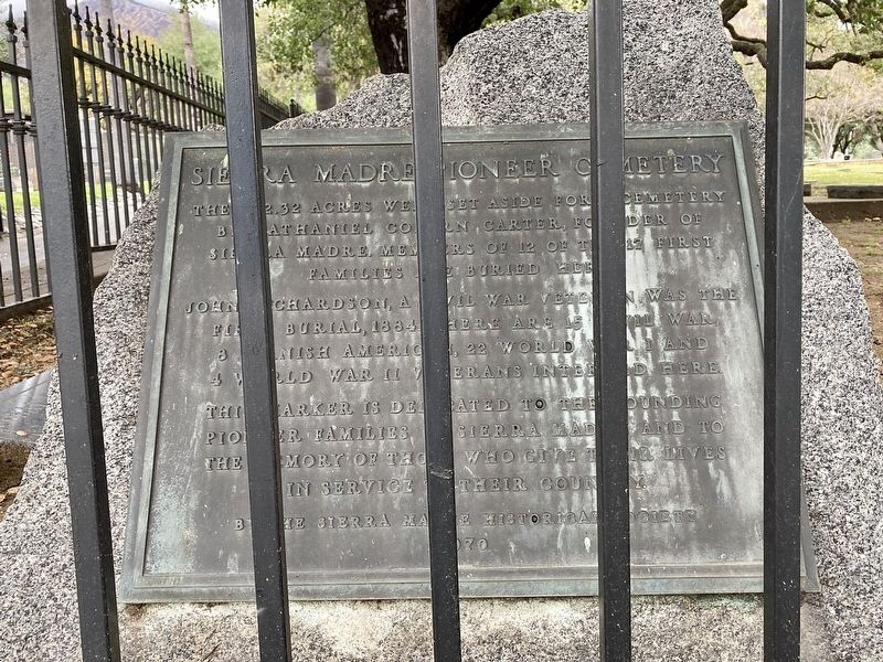
These 2.32 acres were set aside for a cemetery by Nathaniel Coburn Carter, founder of Sierra Madre. Members of 12 of the 17 first families are buried here.
John Richardson, a Civil War veteran was the first burial, 1884. There are 15 Civil War, 8 Spanish American, 22 World War I and 4 World War II veterans interred here.
This marker is dedicated to the founding pioneer families of Sierra Madre, and to the memory of those who gave their lives in service to their country.
Erected 1970 by Sierra Madre Historical Society.
Topics. This historical marker is listed in these topic lists: Cemeteries & Burial Sites • Settlements & Settlers. A significant historical year for this entry is 1884.
Location. 34° 9.723′ N, 118° 2.506′ W. Marker is in Sierra Madre, California, in Los Angeles County. It is at the intersection of Sierra Madre Boulevard and Coburn Avenue, on the right when traveling west on Sierra Madre Boulevard. Touch for map. Marker is at or near this postal address: 535 E Sierra Madre Blvd, Sierra Madre CA 91024, United States of America. Touch for directions.

Regionally, this marker is in Greater
this page online
Other nearby markers. At least 8 other markers are within 2 miles of this marker, measured as the crow flies: Episcopal Church of the Ascension (approx. 0.7 miles away); Mount Wilson Trail (approx. 0.7 miles away); Old Sierra Madre City Hall (approx. 0.7 miles away); World’s Largest Blossoming Plant (approx. 1.1 miles away); Los Angeles County Arboretum & Botanic Garden (approx. 1.4 miles away); Cycads (approx. 1½ miles away); Hollywood at the Arboretum (approx. 1½ miles away); Depots and Hotel Oakwood (approx. 1½ miles away). Touch for a list and map of all markers in Sierra Madre.
Regarding Sierra Madre Pioneer Cemetery. Recent research has found no evidence that John Richardson was a Civil War veteran.
Also see . . . Sierra Madre Pioneer Cemetery. (Submitted on March 12, 2025.)
Photographed by Craig Baker, March 12, 2025
2. Sierra Madre Pioneer Cemetery Marker

Photographed by Craig Baker, March 12, 2025
3. Sierra Madre Pioneer Cemetery Marker

Photographed by Craig Baker, March 12, 2025
4. Sierra Madre Pioneer Cemetery

Photographed by Craig Baker, March 12, 2025
5. Sierra Madre Pioneer Cemetery

Photographed by Craig Baker, March 12, 2025
6. Tombstone — 1884
The John Wesley Patterson marble tablet had been missing from its granite base for several decades and mysteriously reappeared recently outside the cemetery gate.
Credits. This page was last revised on March 16, 2025. It was originally submitted on March 12, 2025, by Craig Baker of Sylmar, California. This page has been viewed 1,041 times since then and 37 times this year. Photos: 1, 2, 3, 4, 5, 6. submitted on March 12, 2025, by Craig Baker of Sylmar, California.
