Near Reisterstown in Baltimore County, Maryland — The American Northeast (Mid-Atlantic)
Nicholson’s Manor
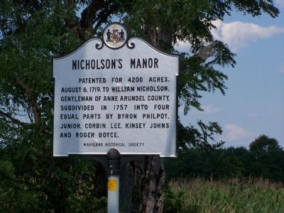
Photographed by Beverly Pfingsten, 08-12-2007
1. Nicholson's Manor Marker
Erected 1968 by Maryland Historical Society.
Topics and series. This historical marker is listed in these topic lists: Colonial Era • Settlements & Settlers. In addition, it is included in the Maryland Historical Trust series list. A significant historical date for this entry is August 6, 1719.
Location. 39° 29.105′ N, 76° 47.622′ W. Marker is near Reisterstown, Maryland, in Baltimore County. It is at the intersection of Butler Road (Route 128) and Longnecker Road, on the left when traveling east on Butler Road. Touch for map. Marker is at or near this postal address: 4151 Butler Road, Reisterstown MD 21136, United States of America. Touch for directions.

Regionally, this marker is in the Baltimore Metro Region and in Central Maryland. It is also in the American Mid-Atlantic, in the Chesapeake Bay Region, and on the Eastern Seaboard. Globally, it is in the North Atlantic Region, North America, the Western Hemisphere,
this page online
Other nearby markers. At least 8 other markers are within 3 miles of this marker, measured as the crow flies: Emory Grove (approx. 1.2 miles away); Glyndon (approx. 1.4 miles away); Railroad Ave (approx. 1½ miles away); Glyndon Station (approx. 1.6 miles away); “Buffalo Soldiers” (approx. 2.4 miles away); From the Great Wagon Road to Main Street (approx. 2.4 miles away); Becoming Reisterstown (approx. 2.4 miles away); John and Margaret Reister (approx. 2.4 miles away). Touch for a list and map of all markers in Reisterstown.
More about this marker. This marker replaced one erected by the Maryland State Roads Commission in the 1930s.
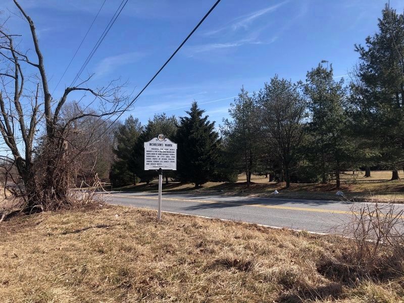
Photographed by Jordan Butler, February 21, 2022
2. Nicholson’s Manor Marker facing northeast on Butler Road.
Credits. This page was last revised on March 16, 2025. It was originally submitted on August 13, 2007, by Bill Pfingsten of Bel Air, Maryland. This page has been viewed 2,826 times since then and 73 times this year. Last updated on March 16, 2025, by Carl Gordon Moore Jr. of North East, Maryland. Photos: 1. submitted on August 13, 2007, by Bill Pfingsten of Bel Air, Maryland. 2. submitted on June 26, 2022, by Jordan Butler of New Windsor, Maryland, USA. • Devry Becker Jones was the editor who published this page.
