Brookings in Brookings County, South Dakota — The American Midwest (Upper Plains)
Larson Hill & Park
March 6, 2025
1. Larson Hill & Park Marker
Inscription.
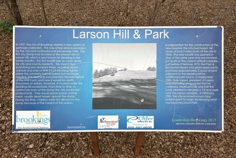
Larson Hill and Park. . In 1937, the city of Brookings started a new system of garbage collection. This was a free service provided by the city and continued until December 1960. The first city dump was located at the present site of Larson Hill, which is best known for sledding in the winter months. This first landfill was an open dump for city and county residents. This meant that everything was dumped there, including dead animals and even a world war two P-51 Mustang fighter plane the university had acquired but no longer needed. The Mustang was probably the best fighter of the world war two era, and now it would be worth thousands of dollars. However, it's buried under the sledding hill somewhere. From time to time, to control rats born at the dump the city would hire professionals. They would place poison animal meat, usually dead horses, around the dump. During this time, children were not allowed in the dump because of the hazard of the poison., In preparation for the construction of the new hospital, the city purchased 160 acres of land 2 miles south of the city in 1960. The new landfill was opened in May of the same year and was located just south of the current softball complex. Just before Christmas 1975, the Park and Recreation Board was given approval to purchase approximately 2 acres of land adjacent to the sledding hill for additional park space. In September 1980, Dale Larson, president of Larson Manufacturing announced that his company would provide one half the funds needed to develop a 17-acre park near the Larson complex. In February 1981, the city received a matching federal grant to begin developing what has become Larson Park., Brookings Parks, Recreation and Forestry Department , Allyn Frerichs Trail System, Sponsored by: Homestead Do-it center · Clites Electric
In 1937, the city of Brookings started a new system of garbage collection. This was a free service provided by the city and continued until December 1960. The first city dump was located at the present site of Larson Hill, which is best known for sledding in the winter months. This first landfill was an open dump for city and county residents. This meant that everything was dumped there, including dead animals and even a WW II P-51 Mustang fighter plane the university had acquired but no longer needed. The Mustang was probably the best fighter of the WW II era, and now it would be worth thousands of dollars. However, it's buried under the sledding hill somewhere. From time to time, to control rats born at the dump the city would hire professionals. They would place poison animal meat, usually dead horses, around the dump. During this time, children were not allowed in the dump because of the hazard of the poison.
In preparation for the construction of the new hospital, the city purchased 160 acres of land 2 miles south of the city in 1960. The new landfill was opened in May of the same year and was located just south
Click or scan to see this page online
of the current softball complex. Just before Christmas 1975, the Park & Recreation Board was given approval to purchase approximately 2 acres of land adjacent to the sledding hill for additional park space. In September 1980, Dale Larson, president of Larson Manufacturing announced that his company would provide one half the funds needed to develop a 17-acre park near the Larson complex. In February 1981, the city received a matching federal grant to begin developing what has become Larson Park.
Brookings Parks, Recreation & Forestry Department
Allyn Frerichs Trail System
Sponsored by: Homestead Do-it center · Clites Electric
Erected 2015 by Leadership Brookings: Jeffrey Cooley, Lindsie Bartley, Jennifer Olson, & Austin Sechser.
Topics. This historical marker is listed in this topic list: Parks & Recreational Areas. A significant historical month for this entry is December 1960.
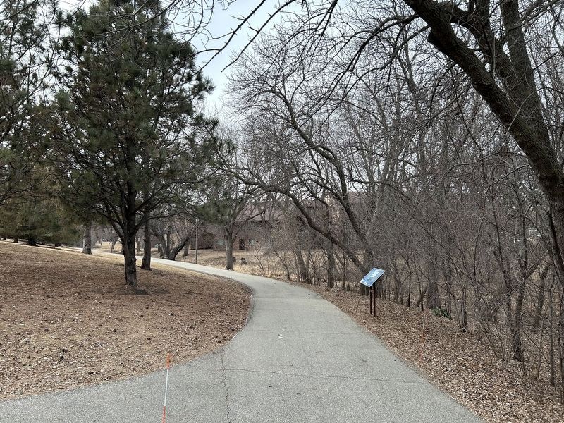
Location. 44° 18.305′ N, 96° 45.785′ W. Marker is in Brookings, South Dakota, in Brookings County. It can be reached from Sunrise Ridge Road south of Yorkshire Drive, on the left when traveling north. Located in northeast Larson Park. Touch for map. Marker is
March 6, 2025
2. Larson Hill & Park Marker

at or near this postal address: 120 22nd Ave S, Brookings SD 57006, United States of America. Touch for directions.
Regionally, this marker is in East River. It is also in the American Midwest, in the Lewis & Clark Corridor, in the Corn Belt, on the prairies, and on the Northern Plains. Globally, it is in North America, the Western Hemisphere, the Western World, and the Anglosphere. Historically, it finds itself in what was once Ruperts Land and also the Louisiana Purchase.
Credits. This page was last revised on July 20, 2025. It was originally submitted on March 16, 2025. This page has been viewed 246 times since then and 30 times this year. Photos:1, 2. submitted on March 16, 2025.
