Old Lyme in Lower Connecticut River Valley Region, Connecticut — The American Northeast (New England)
Osprey
Pandion haliaetus

Photographed by Conrad Ward, October 19, 2024
1. Osprey Marker
The osprey is one of Connecticut's wildlife success stories. The overuse of pesticides, primarily DDT, caused a dramatic decline in osprey numbers and, by 1974, there were only 9 active nests in Connecticut. The use of DDT has been banned in the United States and populations are gradually recovering. Ospreys are now commonly seen along Connecticut's coast and rivers.
Breeding Biology
Ospreys migrate to South America in winter, returning to Connecticut in late March to breed. Man-made platforms erected on marshes are readily used as nesting sites. Pairs usually return to the same site, adding new material to the old nest each year.
An average of three eggs are laid. The female is responsible for the majority of incubation and is brought fish by the male. When the young hatch, both adults bring fish to the nest After migrating, it will be two to three years before the young return to Connecticut.
(photo caption)
Osprey feed almost entirely on live fish which they seek out in tidal bays and estuaries. The birds plunge feet first into the water grabbing the fish with their talons
Erected by Connecticut
this page online
Topics. This historical marker is listed in these topic lists: Animals • Environment. A significant historical year for this entry is 1974.
Location. 41° 18.558′ N, 72° 20.713′ W. Marker is in Old Lyme in Lower Connecticut River Valley Region, Connecticut. It can be reached from Ferry Road south of Sandpiper Point Road when traveling south. Touch for map. Marker is in this post office area: Old Lyme CT 06371, United States of America. Touch for directions.

Regionally, this marker is on the Connecticut Shoreline, in Greater New London, in Mystic and the Eastern Shore, and in the Thames River Valley. It is also in the American Northeast, in New England, and on the Eastern Seaboard. Globally, it is in the North Atlantic Region, North America, the Western Hemisphere, the Western World, and the Anglosphere. Historically, it finds itself in what was once New London County and also one of the original Thirteen Colonies.
Other nearby markers. At least 8 other markers are within walking distance of this marker: Anadromous Fish (here, next to this marker); Dr. Roger Tory Peterson Wildlife Area at Great Island
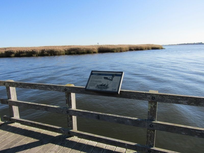
Photographed by Conrad Ward, October 19, 2024
2. Osprey Marker
Credits. This page was last revised on May 19, 2026. It was originally submitted on March 17, 2025, by Conrad Ward of Guilford, Connecticut. This page has been viewed 86 times since then and 13 times this year. Photos: 1, 2. submitted on March 17, 2025, by Conrad Ward of Guilford, Connecticut. • Michael Herrick was the editor who published this page.
