Marker Logo
THE HISTORICAL
MARKER DATABASE
“Bite-Size Bits of Local, National, and Global History”
Near Joaquin in Shelby County, Texas — The American South (West South Central)
 

Lone Cedar Cemetery
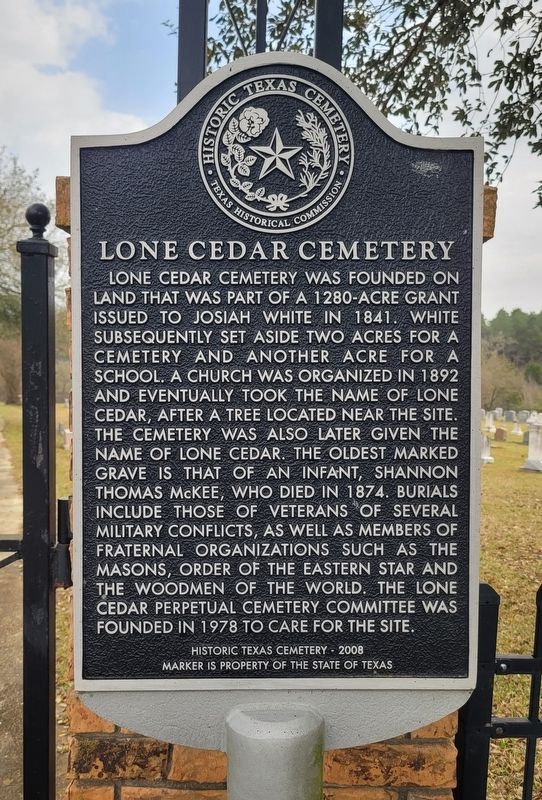
 
 
Lone Cedar Cemetery Marker image. Click for full size.
Photographed by James Hulse, March 15, 2025
1. Lone Cedar Cemetery Marker
Inscription. Lone Cedar Cemetery was founded on land that was part of a 1280-acre grant issued to Josiah White in 1841. White subsequently set aside two acres for a cemetery and another acre for a school. A church was organized in 1892 and eventually took the name of Lone Cedar, after a tree located near the site. The cemetery was also later given the name of Lone Cedar. The oldest marked grave is that of an infant, Shannon Thomas McKee, who died in 1874. Burials include those of veterans of several military conflicts, as well as members of fraternal organizations such as the Masons, Order of the Eastern Star and the Woodmen of the World. The Lone Cedar Perpetual Cemetery Committee was founded in 1978 to care for the site.
Historic Texas Cemetery - 2008

 
Erected 2008 by Texas Historical Commission. (Marker Number 15804.)
 
Topics. This historical marker is listed in these topic lists: Cemeteries & Burial SitesReligion & Religious Structures. A significant historical year for this entry is 1841.
 
Location. 31° 52.987′ N, 94° 3.532′ W. Marker is near Joaquin, Texas, in Shelby County. It is on Farm to Market Road 3082 0.8 miles east of State Road 7, on the left when traveling east. The marker is located at the front of the cemetery gate. Touch for map. Marker is at or near this postal address: 2068 FM3082, Joaquin TX 75954, United States of America. Touch for directions.

Regionally, this marker is in the American South, specifically in the Deep South, and in the Piney Woods. Globally, it is in North America, a Gulf of Mexico state, the Western Hemisphere, the Western World, and the Anglosphere. Historically, it finds itself in what was once New Spain, the Republic of Texas, one of the Confederate States of America, and the Antebellum South.

Other nearby markers. At least 8 other markers are within
Paid Advertisement
Click or scan to see
this page online
9 miles of this marker, measured as the crow flies: Sardis Methodist Church (approx. 5.8 miles away); B.F. Morris and the Town of Joaquin (approx. 5.8 miles away); Brookland Cemetery (approx. 6.6 miles away); Site of Truitt Community (approx. 6.6 miles away); The First Battle (approx. 7.8 miles away); Sholar Cemetery (approx. 7.8 miles away); Shelby County (approx. 8.1 miles away); Fairview Cemetery (approx. 9.1 miles away). Touch for a list and map of all markers in Joaquin.
 
Lone Cedar Cemetery and Marker image. Click for full size.
Photographed by James Hulse, March 15, 2025
2. Lone Cedar Cemetery and Marker
The Lone Cedar Missionary Baptist Church and the lone cedar tree image. Click for full size.
Photographed by James Hulse, March 15, 2025
3. The Lone Cedar Missionary Baptist Church and the lone cedar tree
 
 
Credits. This page was last revised on March 18, 2025. It was originally submitted on March 17, 2025, by James Hulse of Medina, Texas. This page has been viewed 195 times since then and 31 times this year. Photos:   1, 2, 3. submitted on March 18, 2025, by James Hulse of Medina, Texas.

m=268286

CeraNet Cloud Computing sponsors the Historical Marker Database.
This website earns income from purchases you make after using our links to Amazon.com. We appreciate your support.
Paid Advertisement
Jul. 14, 2026