Elizabethton in Carter County, Tennessee — The American South (East South Central)
Sycamore Shoals on the Watauga
Photographed by Mark Parker, March 14, 2025
1. Sycamore Shoals on the Watauga Marker
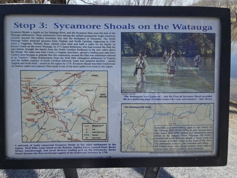
Sycamore Shoals, a rapids on the Watauga River, and the Sycamore Flats were the hub of the Watauga settlements. These settlements were among the earliest permanent Anglo-American colonies beyond the Indian boundary line and the birthplace of Tennessee. The fertile Watauga Valley attracted pioneers from Virginia and North Carolina, beginning in 1768, when a Virginian, William Bean, cleared some land and built a cabin for his family on Boone's Creek on the lower Watauga. In 1771 James Robertson, who had scouted the Flats the year before, brought his family from the North Carolina Piedmont to the rich valley above the Shoals. The same year John Carter, a Virginia merchant, opened a trading post near here. Carter's store became so popular that the community around the Flats was sometimes referred to as "Carter's." Other frontiersmen from the Wolf Hills (Abingdon) settlement in Virginia and the Yadkin country of North Carolina followed. Some four hundred families -- mostly English and Scots Irish -- settled in the region by 1774. Sycamore Shoals was their rendezvous: Its shallow water and adjacent Flats made it one of the
this page online
(Map captions)
A network of trails connected Sycamore Shoals to the other settlements in the region: Wolf Hills, Long Island on the Holston, Sapling Grove, Council Store, Rocky Mount, Jonesborough, and Jacob Brown's trading Post on the Nolichucky. Rocky Mount became the first territorial capital of the Southwest Territory in 1790.
The Watauga Old Fields
Robertson and other settlers came to this stretch of the Watauga River in the 1770s, in part, because here they found farm fields cleared and abandoned years before by the Indians. These "Watauga Old Fields" extended six miles from the mouth of Stony Creek to the mouth of Buffalo Creek at the bend of the river. The prehistoric farmers - the Cherokee and others - left behind stone tools, broken pottery, stone mills of various sizes, kitchen middens, and cemeteries.
(Photo caption)
"The Wataugans were scattered ... but the Flats at Sycamore Shoals provided the best gathering place for miles around for races and musters." Max Dixon (Sycamore Shoals State Historic) (Marker Number Stop 3.)
Topics. This historical marker is listed
Photographed by Mark Parker, March 14, 2025
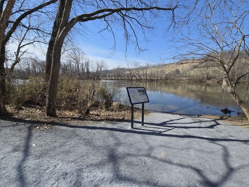
2. Sycamore Shoals on the Watauga Marker next to the Watauga River
Location. 36° 20.624′ N, 82° 15.333′ W. Marker is in Elizabethton, Tennessee, in Carter County. It is on West Elk Avenue (U.S. 321) west of Franklin Springs Circle, on the right when traveling west. The marker is at Sycamore Shoals State Historic Area. The marker is along a walking trail next to the Watauga River approximately .2 of a mile from the parking lot. Touch for map. Marker is at or near this postal address: 1651 W Elk Ave, Elizabethton TN 37643, United States of America. Touch for directions.

Regionally, this marker is in East Tennessee and in the Tri-Cities Area. It is also in the American South, specifically in the Upper South, in Appalachia, and specifically in Southern Appalachia. Globally, it is in North America, the Western Hemisphere, the Western World, and the Anglosphere. Historically, it finds itself in what was once the original Cherokee Nation, the territory of the Mississippian Culture, one of the Confederate States of America, the State of Franklin, and the Antebellum

Photographed by Mark Parker, March 14, 2025
3. Sycamore Shoals on the Watauga Marker across from benches on the trail
Other nearby markers. At least 8 other markers are within walking distance of this marker: Revolutionary War Patriots (within shouting distance of this marker); Muster of the Overmountain Men (about 300 feet away, measured in a direct line); Fort Watauga and the Cherokee War (about 700 feet away); Valentine Sevier, "The Immigrant" (about 700 feet away); Sycamore Shoals State Historic Area (approx. 0.2 miles away); John Crockett: Frontier Ranger (approx. 0.2 miles away); David Crockett (approx. 0.2 miles away); Dedicated to the Spirit of the Overmountain Men (approx. 0.2 miles away). Touch for a list and map of all markers in Elizabethton.
More about this marker. The marker is the third stop of an interactive trail that circles the park's property.
Photographed by Tom Bosse, August 22, 2026
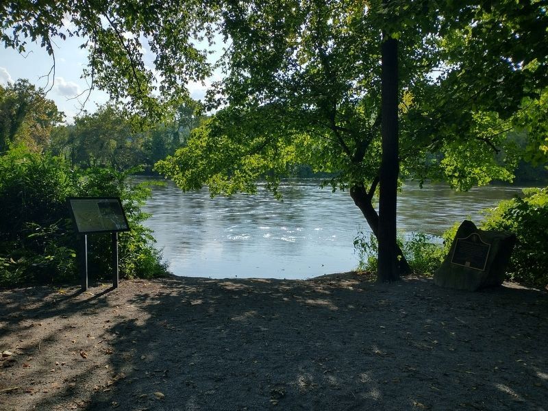
4. Sycamore Shoals on the Watauga Marker
Credits. This page was last revised on August 26, 2026. It was originally submitted on March 18, 2025, by Mark Parker of Hickory, North Carolina. This page has been viewed 329 times since then and 111 times this year. Photos: 1, 2, 3. submitted on March 18, 2025, by Mark Parker of Hickory, North Carolina. 4. submitted on August 25, 2026, by Tom Bosse of Jefferson City, Tennessee. • James Hulse was the editor who published this page.
