Near Tatum in Rusk County, Texas — The American South (West South Central)
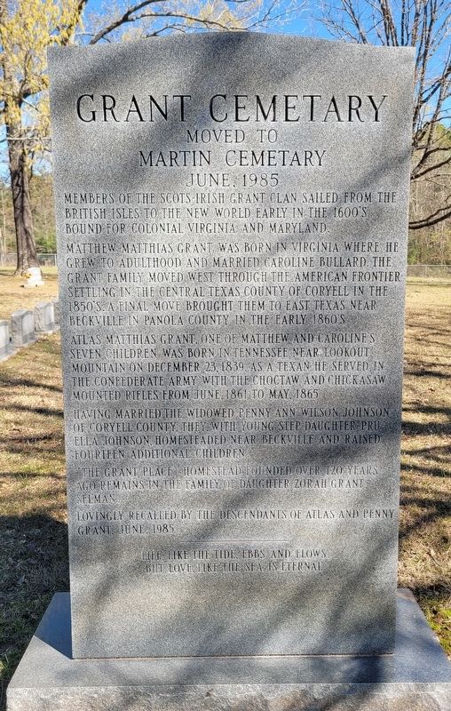
Grant Cemetary
Moved to Martin Cemetary June, 1985
Photographed by James Hulse, March 16, 2025
1. Grant Cemetary Marker
Matthew Matthias Grant was born in Virginia where he grew to adulthood and married Caroline Bullard. The Grant family moved west through the American frontier settling in the central Texas county of Coryell in the 1850's. A final move brought them to East Texas near Beckville in Panola County in the early 1860's.
Atlas Matthias Grant, one of Matthew and Caroline's seven children was born in Tennessee near Lookout Mountain on December 23, 1839. As a Texan he served in the Confederate Army with the Choctaw and Chickasaw Mounted Rifles from June, 1861 to May, 1865.
Having married the widowed Penny Ann Wilson Johnson of Coryell County, they, with young step-daughter Pru Ella Johnson, homesteaded near Beckville and raised fourteen additional children.
The Grant place homestead founded over 120 years ago remains in the family of daughter Zorah Grant Selman.
Lovingly recalled by the descendants of Atlas and Penny Grant, June, 1985.
Topics. This historical marker is listed in this topic list: Cemeteries & Burial Sites. A significant historical month for this entry is June 1985.
Location. 32° 15.897′ N, 94° 32.342′ W. Marker is near Tatum, Texas, in Rusk County. It is on County Line Road (Farm to Market Road 3231) 3½ miles south of State Highway 43, on the right when traveling south. The marker is located in the Martin Cemetery near the entrance. Touch for map. Marker is in this post office area: Tatum TX 75691, United States of America. Touch for directions.

Regionally, this marker is in the American South, specifically in the Deep South, and in the Piney Woods. Globally, it is in North America, a Gulf of Mexico state, the Western Hemisphere, the Western
this page online
Other nearby markers. At least 8 other markers are within 6 miles of this marker, measured as the crow flies: Martin Cemetery (within shouting distance of this marker); Harmony Hill Cemetery (approx. 1.9 miles away); Tatum Cemetery (approx. 3.4 miles away); Trammel's Trace (approx. 3½ miles away); Sugar Hill Cemetery (approx. 3.7 miles away); Town of Tatum (approx. 3.8 miles away); Beckville United Methodist Church (approx. 4.9 miles away); First Baptist Church of Beckville (approx. 5.2 miles away). Touch for a list and map of all markers in Tatum.
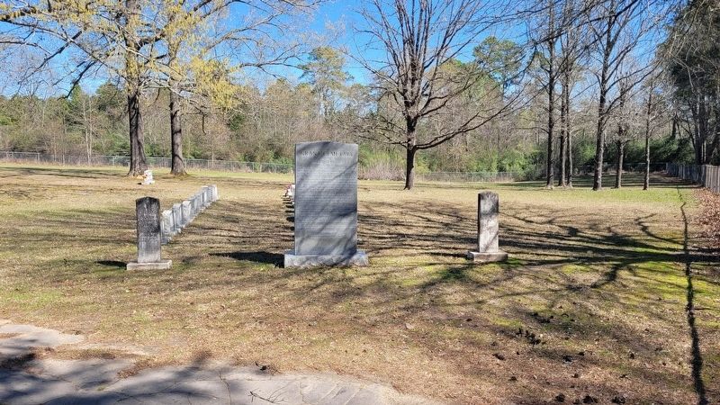
Photographed by James Hulse, March 16, 2025
2. Grant Cemetary Marker
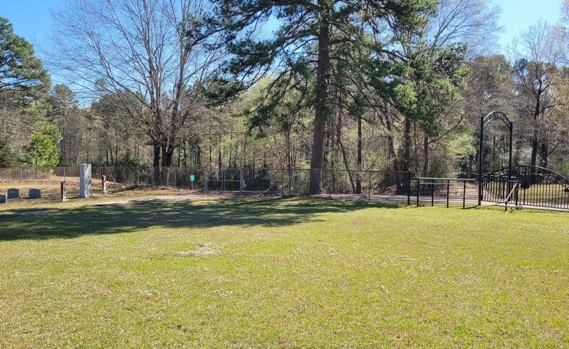
Photographed by James Hulse, March 16, 2025
3. The Grant Cemetary Marker near the road
Credits. This page was last revised on March 22, 2025. It was originally submitted on March 21, 2025, by James Hulse of Medina, Texas. This page has been viewed 176 times since then and 26 times this year. Photos: 1, 2, 3. submitted on March 22, 2025, by James Hulse of Medina, Texas.
