Marker Logo
THE HISTORICAL
MARKER DATABASE
“Bite-Size Bits of Local, National, and Global History”
Near Beckville in Panola County, Texas — The American South (West South Central)
 

Sugar Hill Cemetery
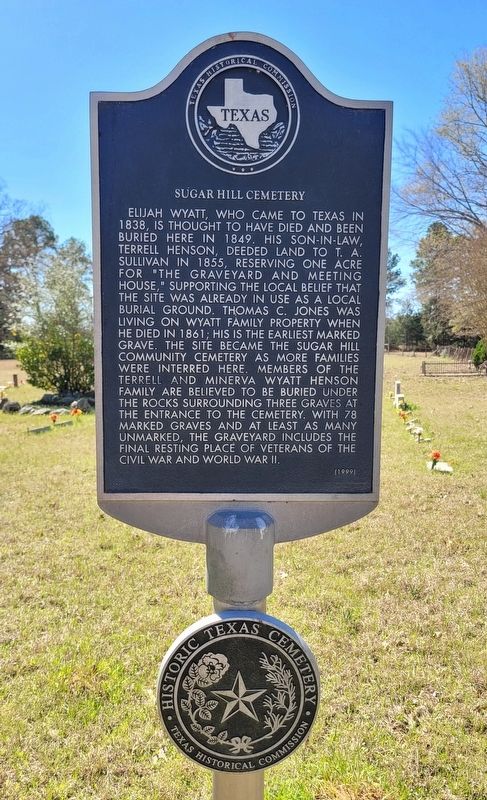
 
 
Sugar Hill Cemetery Marker image. Click for full size.
Photographed by James Hulse, March 16, 2025
1. Sugar Hill Cemetery Marker
Inscription. Elijah Wyatt, who came to Texas in 1838, is thought to have died and been buried here in 1849. His son-in-law, Terrell Henson, deeded land to T.Α. Sullivan in 1855, reserving one acre for "The graveyard and meeting house," supporting the local belief that the site was already in use as a local burial ground. Thomas C. Jones was living on Wyatt family property when he died in 1861; his is the earliest marked grave. The site became the Sugar Hill Community Cemetery as more families were interred here. Members of the Terrell and Minerva Wyatt Henson family are believed to be buried under the rocks surrounding three graves at the entrance to the cemetery. With 78 marked graves and at least as many unmarked, the graveyard includes the final resting place of veterans of the Civil War and World War II.
 
Erected 1999 by Texas Historical Commission. (Marker Number 12139.)
 
Topics. This historical marker is listed in this topic list: Cemeteries & Burial Sites. A significant historical year for this entry is 1838.
 
Location. 32° 12.875′ N, 94° 33.581′ W. Marker is near Beckville, Texas, in Panola County. It is on County Road 242 one mile east of County Line Road (Farm to Market Road 3231). The marker is located at the entrance to the cemetery. Touch for map. Marker is in this post office area: Beckville TX 75631, United States of America. Touch for directions.

Regionally, this marker is in the American South, specifically in the Deep South, and in the Piney Woods. Globally, it is in North America, a Gulf of Mexico state, the Western Hemisphere, the Western World, and the Anglosphere. Historically, it finds itself in what was once New Spain, the Republic of Texas, one of the Confederate States of America, and the Antebellum South.

Other nearby markers. At least 8 other markers are within 5 miles of
Paid Advertisement
Click or scan to see
this page online
this marker, measured as the crow flies: Liberty Missionary Baptist Church (approx. 3 miles away); Waldrop Cemetery (approx. 3.4 miles away); Martin Cemetery (approx. 3.7 miles away); Grant Cemetary (approx. 3.7 miles away); Harmony Hill Cemetery (approx. 4.6 miles away); Trammel's Trace (approx. 4.7 miles away); Isaac R. Youngblood (approx. 4.8 miles away); Allison Chapel United Methodist Church (approx. 5 miles away).
 
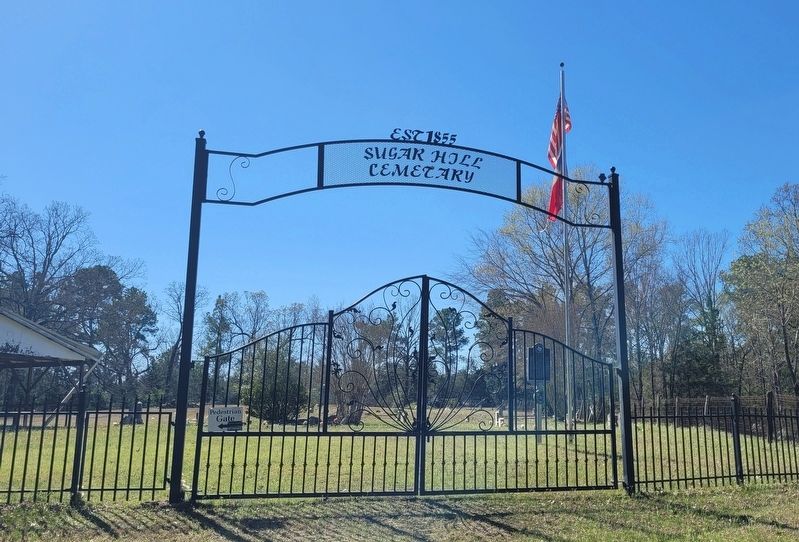
Sugar Hill Cemetery and Marker image. Click for full size.
Photographed by James Hulse, March 16, 2025
2. Sugar Hill Cemetery and Marker
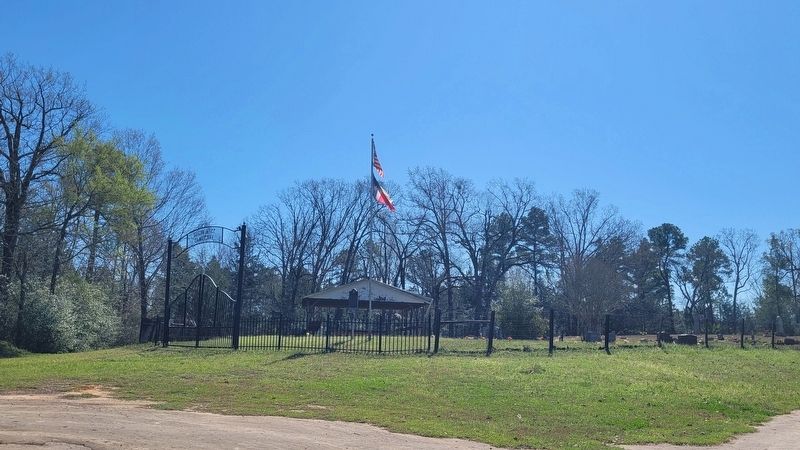
The view of the Sugar Hill Cemetery from the road image. Click for full size.
Photographed by James Hulse, March 16, 2025
3. The view of the Sugar Hill Cemetery from the road
 
 
Credits. This page was last revised on March 22, 2025. It was originally submitted on March 21, 2025, by James Hulse of Medina, Texas. This page has been viewed 235 times since then and 33 times this year. Photos:   1, 2, 3. submitted on March 22, 2025, by James Hulse of Medina, Texas.

m=268555

CeraNet Cloud Computing sponsors the Historical Marker Database.
This website earns income from purchases you make after using our links to Amazon.com. We appreciate your support.
Paid Advertisement
Jul. 11, 2026