Near Hope Hull in Montgomery County, Alabama — The American South (East South Central)
William Bartram
1739 ~ 1823
Photographed by Mark Hilton, March 23, 2025
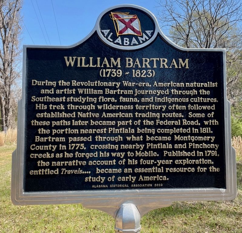
1. William Bartram Marker
During the Revolutionary War-era, American naturalist and artist William Bartram journeyed through the Southeast studying flora, fauna, and indigenous cultures. His trek through wilderness territory often followed established Native American trading routes. Some of these paths later became part of the Federal Road, with the portion nearest Pintlala being completed in 1811. Bartram passed through what became Montgomery County in 1775, crossing nearby Pintlala and Pinchony creeks as he forged his way to Mobile. Published in 1791, the narrative account of his four-year exploration, entitled Travels.... became an essential resource for the study of early America.
Erected 2023 by Alabama Historical Association.
Topics. This historical marker is listed in these topic lists: Colonial Era • Exploration • Horticulture & Forestry. A significant historical year for this entry is 1811.
Location. 32° 9.887′ N, 86° 23.657′ W. Marker is near Hope Hull, Alabama, in Montgomery County. It is on Federal Road 0.9 miles south of Cloverfield Road (County Road 24), on the left when traveling south. Touch for map. Marker
this page online

Regionally, this marker is in Alabama’s Tri-Counties River Region. It is also in the American South, specifically in the Deep South, and in the Black Belt. Globally, it is in North America, a Gulf of Mexico state, the Western Hemisphere, the Western World, and the Anglosphere. Historically, it finds itself in what was once the territory of the Mississippian Culture, one of the Confederate States of America, and the Antebellum South.
Other nearby markers. At least 8 other markers are within 4 miles of this marker, measured as the crow flies: The Federal Road / Manac's Tavern (approx. 0.9 miles away); Pintlala School (approx. 1.6 miles away); Pintlala Grange Hall / Grange Hall School (approx. 1.6 miles away); Federal Road, 1805, (approx. 1.7 miles away); The Bethel Cemetery (approx. 2.3 miles away); Tankersley Rosenwald School (approx. 2.7 miles away); Big Zion A.M.E. Zion Church Cemetery (approx. 3.6 miles away); Big Zion School (approx. 3.6 miles away).
Also see . . . William Bartram in Alabama (Encylopedia of Alabama).
Photographed by Mark Hilton, March 23, 2025
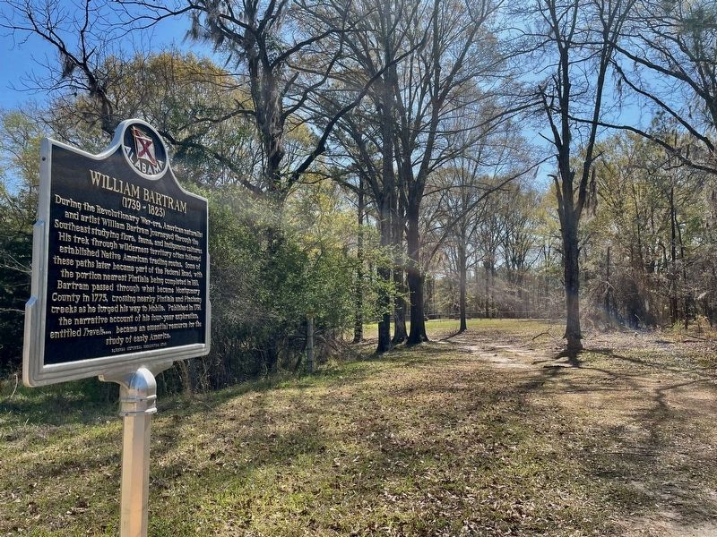
2. Marker is along road in front of the Murrell-Parmer Cemetery (in far background).
Photographed by Mark Hilton, March 23, 2025
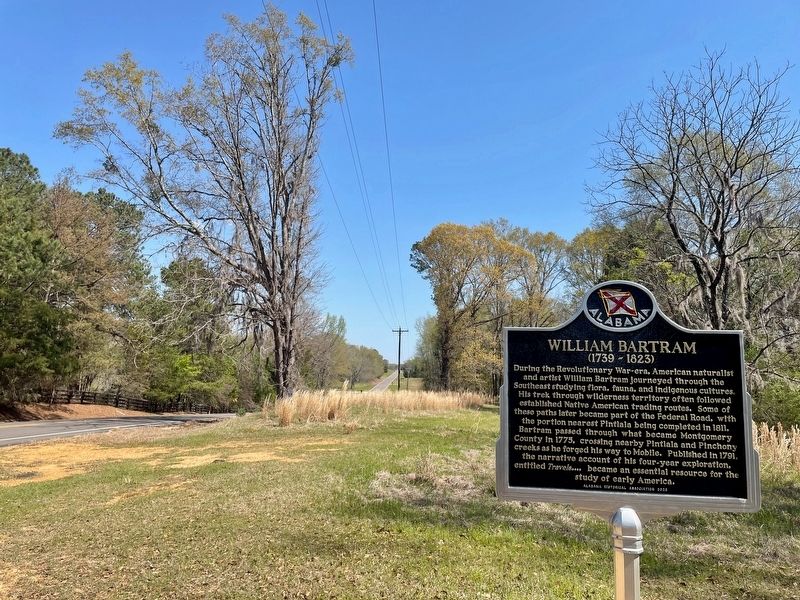
3. View from marker north on Federal Rd.
Photographed by Mark Hilton, March 23, 2025
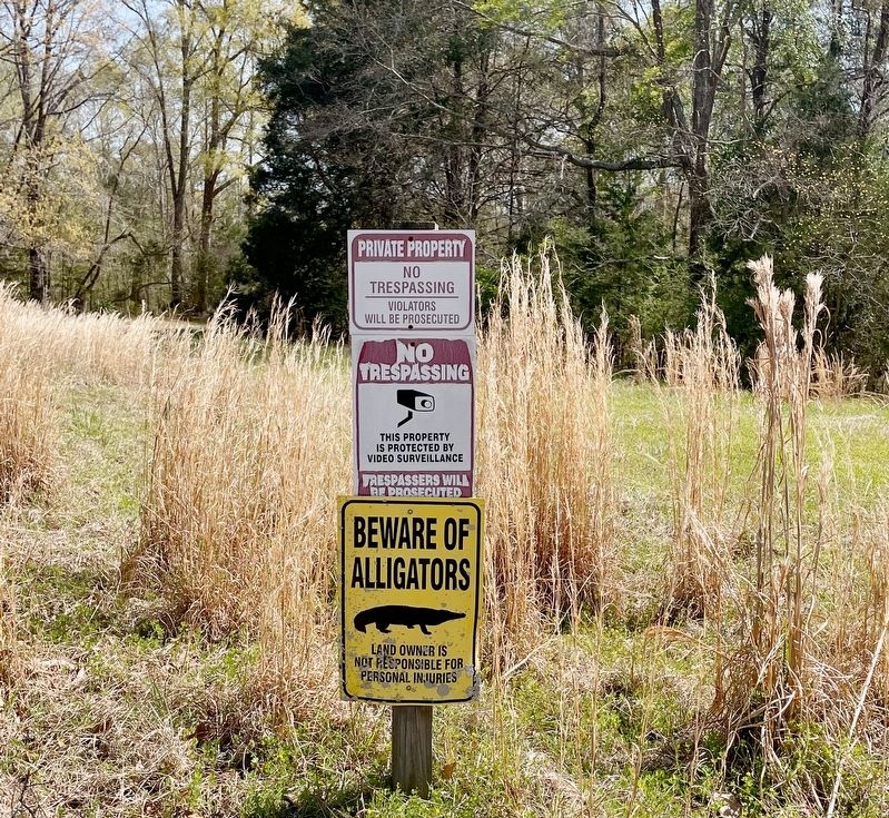
4. Warnings at the private property line near the marker.
Credits. This page was last revised on March 23, 2025. It was originally submitted on March 23, 2025, by Mark Hilton of Montgomery, Alabama. This page has been viewed 246 times since then and 43 times this year. Photos: 1, 2, 3, 4. submitted on March 23, 2025, by Mark Hilton of Montgomery, Alabama.
