Menands in Albany County, New York — The American Northeast (Mid-Atlantic)
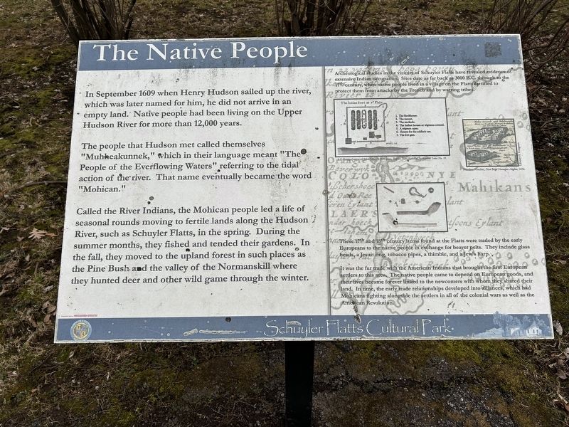
The Native People
Schuyler Flatts Cultural Park
Photographed by Steve Stoessel, March 22, 2025
1. The Native People Marker
[Left Side]
In September 1609 when Henry Hudson sailed up the river, which was later named for him, he did not arrive in an empty land. Native people had been living on the Upper Hudson River for more than 12,000 years.
The people that Hudson met called themselves "Muhheakunnek," which in their language meant "The People of the Everflowing Waters" referring to the tidal action of the river. That name eventually became the word "Mohican."
Called the River Indians, the Mohican people led a life of seasonal rounds moving to fertile lands along the Hudson River, such as Schuyler Flatts, in the spring. During the summer months, they fished and tended their gardens. In the fall, they moved to the upland forest in such places as the Pine Bush and the valley of the Normanskill where they hunted deer and other wild game through the winter.
[Right Side]
Archeological studies in the vicinity of Schuyler Flatts have revealed evidence of extensive Indian occupation. Sites date as far back as 3000 B.C, through to the 17th century, when native people lived in a village on the Flatte fortified to protect them from attacks by the
this page online
These 17th and 18th century items found at the Flatts were traded by the early Europeans to the native people in exchange for beaver pelts. They include glass beads, a Jesuit ring, tobacco pipes, a thimble, and a Jew's harp.
It was the fur trade with the American Indians that brought the first European settlers to this area The native people came to depend on European goods, and their lives became forever linked to the newcomers with whom they shared their land. In time, the early trade relationships developed into alliances, which had Mohicans fighting alongside the settlers in all of the colonial wars as well as the Amélican Revolution.
Erected by Town of Colonie.
Topics. This historical marker is listed in this topic list: Indigenous Peoples and Communities. A significant historical month for this entry is September 1609.
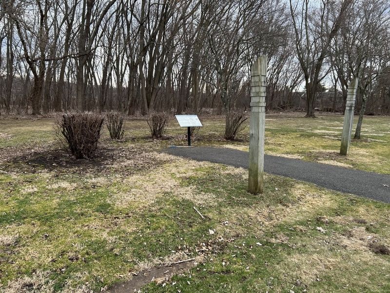
Location. 42° 42.276′ N, 73° 42.553′ W. Marker is in Menands, New York, in Albany County. It can be reached from Broadway, on the right when traveling north. Marker is on footpath going around the park, about 0.2 miles from parking area. Touch for map. Marker is in this post office area: Watervliet
Photographed by Steve Stoessel, March 22, 2025
2. The Native People Marker

Regionally, this marker is in Upstate New York, in the Capital District, and in the Albany Metropolitan Area. It is also in the American Northeast and in the Mid-Atlantic. Globally, it is in North America, the Western Hemisphere, the Western World, and the Anglosphere. Historically, it finds itself in what was once New Netherland and also one of the original Thirteen Colonies.
Other nearby markers. At least 8 other markers are within walking distance of this marker: Arent van Curler & Fr. Isaac Jogues at the Flatts in 1643 (about 500 feet away, measured in a direct line); The Colonial & Revolutionary Wars (about 500 feet away); The Old Schuyler Burying Ground (about 700 feet away); Schuyler Flatts in the French & Indian War (approx. 0.2 miles away); Schuyler Flatts Cultural Park (approx. 0.2 miles away); Schuyler Flatts (approx. 0.2 miles away); The Erie Canal (approx. 0.2 miles away); a different marker also named Schuyler Flatts (approx. 0.2 miles away). Touch for a list and map of all markers in Menands.
Credits. This page was last revised on March 24, 2025. It was originally submitted on March 24, 2025, by Steve Stoessel of Niskayuna, New York. This page has been viewed 183 times since then and 50 times this year. Photos: 1, 2. submitted on March 24, 2025, by Steve Stoessel of Niskayuna, New York.
