College Park in Atlanta in Clayton County, Georgia — The American South (South Atlantic)
Flat Rock Church Cemetery
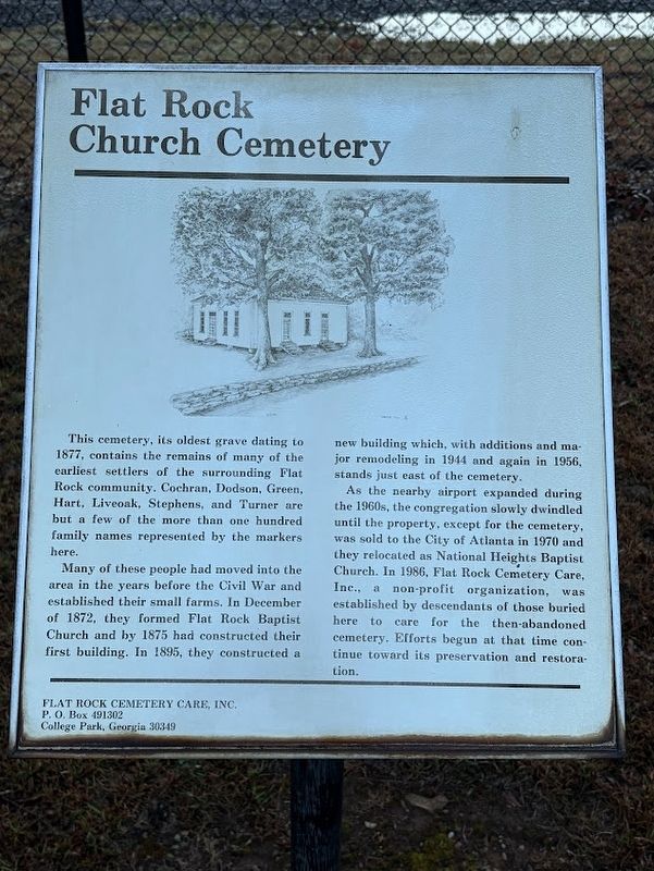
Photographed by Darren Jefferson Clay, March 16, 2025
1. Flat Rock Church Cemetery Marker
Many of these people had moved into the area in the years before the Civil War and established their small farms. In December of 1872, they formed Flat Rock Baptist Church and by 1875 had constructed their first building. In 1895, they constructed a new building which, with additions and major remodeling in 1944 and again in 1956, stands just east of the cemetery.
As the nearby airport expanded during the 1960s, the congregation slowly dwindled until the property, except for the cemetery, was sold to the City of Atlanta in 1970 and they relocated as National Heights Baptist Church. In 1986, Flat Rock Cemetery Care, Inc., a non-profit organization, was established by descendants of those buried here to care for the then-abandoned cemetery. Efforts begun at that time continue toward its preservation and restoration.
Topics. This
this page online
Location. 33° 37.58′ N, 84° 26.167′ W. Marker is in Atlanta, Georgia, in Clayton County. It is in College Park. It can be reached from the intersection of Sullivan Road and Harrison Road, on the left when traveling east. Located on the grounds of the Hartsfield-Jackson Atlanta International Airport. Touch for map. Marker is at or near this postal address: 1465 Sullivan Rd, Atlanta GA 30337, United States of America. Touch for directions.

Regionally, this marker is in Georgia’s Piedmont. It is also in the American South and specifically in the Deep South. Globally, it is in North America, the Western Hemisphere, the Western World, and the Anglosphere. Historically, it finds itself in what was once the territory of the Mississippian Culture, one of the original Thirteen Colonies, one of the Confederate States of America, and the Antebellum South.
Other nearby markers. At least 8 other markers are within 2 miles of this marker, measured as the crow flies: Hart Cemetery
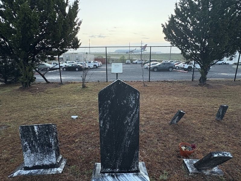
Photographed by Darren Jefferson Clay, March 16, 2025
2. Flat Rock Church Cemetery Marker
Other markers no longer nearby. The Marcus Long Crossroads (was approx. 1.8 miles away but has been confirmed missing); Thames House (was approx. 2 miles away but has been confirmed missing).
Credits. This page was last revised on March 25, 2025. It was originally submitted on March 25, 2025, by Darren Jefferson Clay of Duluth, Georgia. This page has been viewed 312 times since then and 60 times this year. Photos: 1, 2. submitted on March 25, 2025, by Darren Jefferson Clay of Duluth, Georgia. • Bernard Fisher was the editor who published this page.
