Central Oklahoma City in Oklahoma County, Oklahoma — The American South (West South Central)
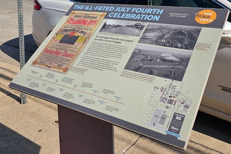
The Ill-Fated July Fourth Celebration
Oklahoma City July 4-6, 1889
| — | The '89er Trail | — |
Photographed by Ian Lefkowitz, June 24, 2023
1. The Ill-Fated July Fourth Celebration Marker
Oklahoma City was eager to showcase its can-do spirit with a first-class celebration on July 4, 1889. Promoters had hoped to attract as many as 20,000 people. A baseball diamond, grandstand, and horse track were set up east of the Santa Fe tracks in the Military Reservation. Two hundred Cheyenne, Arapahoe, and Caddo Indians were brought in to entertain visitors. Events included a big parade, horse racing, feats of horsemanship, Indian war dances, a baseball game, and military drills.
While the visitor turnout was far below expectations, the event that would be remembered as the “Fall of Babylon” occurred at 3:00 on the first afternoon. The grandstand above the refreshment stand collapsed killing one boy and injuring many others. What was planned as a great celebration finished its three day run under a cloud of unexpected tragedy.
Erected by Oklahoma City Community Foundation. (Marker Number 20.)
Topics and series. This historical marker is listed in these topic lists: Disasters • Notable Events. In addition, it is included in the The '89er Trail
this page online
Location. 35° 27.992′ N, 97° 30.569′ W. Marker is in Oklahoma City, Oklahoma, in Oklahoma County. It is in Central Oklahoma City. It is at the intersection of West Sheridan Avenue and North Mickey Mantle Drive, on the right when traveling west on West Sheridan Avenue. Touch for map. Marker is at or near this postal address: 127E W Sheridan Avenue, Oklahoma City OK 73104, United States of America. Touch for directions.

Regionally, this marker is in Central Oklahoma—Frontier Country. It is also in the American South, specifically on the prairies, and on the Southern Plains. Globally, it is in North America, the Western Hemisphere, the Western World, and the Anglosphere. Historically, it finds itself in what was once the territory of the Mississippian Culture and also the Louisiana Purchase.
Other nearby markers. At least 8 other markers are within walking distance of this marker: Indians, Railroads, Ranchers & the Military (a few steps from this marker); The Boomers (within shouting distance of this marker); Military Land Becomes School Land (about 400 feet away,
Photographed by Duane and Tracy Marsteller, June 21, 2025
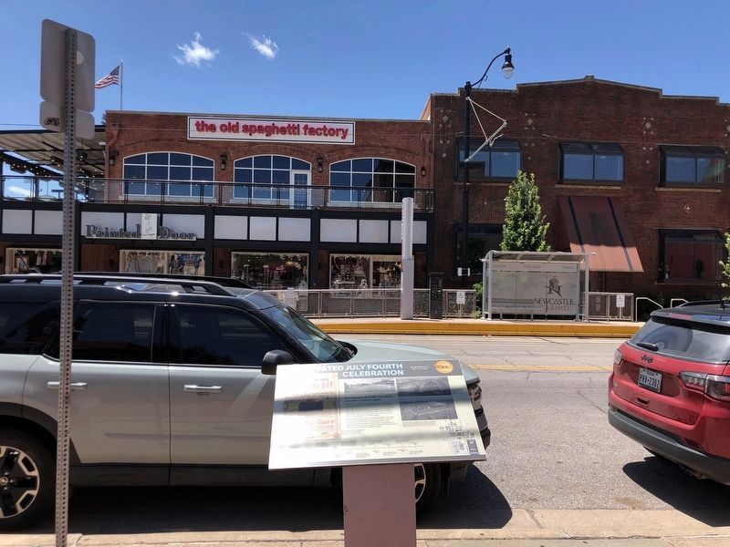
2. The Ill-Fated July Fourth Celebration Marker
Credits. This page was last revised on August 1, 2025. It was originally submitted on March 25, 2025, by Ian Lefkowitz of New York, New York. This page has been viewed 140 times since then and 26 times this year. Photos: 1. submitted on March 25, 2025, by Ian Lefkowitz of New York, New York. 2. submitted on August 1, 2025, by Duane and Tracy Marsteller of Murfreesboro, Tennessee. • Andrew Ruppenstein was the editor who published this page.
