Norwichtown in Southeastern Region, Connecticut — The American Northeast (New England)
Bean Hill
Photographed by Conrad Ward, October 20, 2024
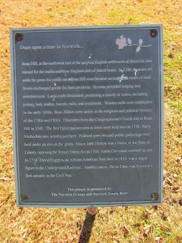
1. Bean Hill Marker
Once upon a time in Norwich...
Bean Hill, at the northwest end of the original English settlement of Norwich, was named for the traditional New England dish of baked beans. In 1729, the town set aside the green for public use. Bean Hill soon became an import center of trade. Stores exchanged goods for farm products. Taverns provided lodging and entertainment. Local crafts flourished, producing a variety of wares, including pottery, hats, leather, barrels, nails, and woodwork. Woolen mills were established in the early 1800s. Bean Hillers were active in the religious and political ferment of the 1700s and 1800s. Dissenters from the Congregational Church met at Bean Hill in 1745. The first Episcopal services in town were held here in 1738. Early Methodists also worshipped here. Political speeches and public gatherings were held under an elm on the green. Major John Durkee was a leader of the Sons of Liberty, opposing the British Stamp Act in 1765. Aaron Cleveland opposed slavery in 1774. David Ruggles, an African American born here in 1810, was a major figure in the Underground Railroad. Another native, David Case,
this page online
The Norwich Grange and Norwich Tenpin Bowl
Topics. This historical marker is listed in these topic lists: Industry & Commerce • Parks & Recreational Areas • Religion & Religious Structures • Settlements & Settlers. A significant historical year for this entry is 1729.
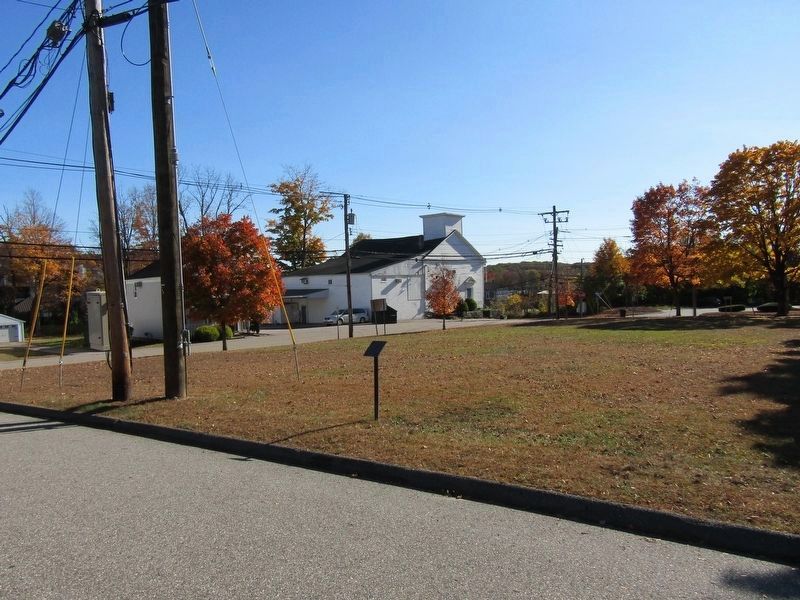
Location. 41° 33.414′ N, 72° 6.481′ W. Marker is in Norwich in Southeastern Region, Connecticut. It is in Norwichtown. It is on Vergason Ave west of Huntington Ave, on the right when traveling east. Touch for map. Marker is in this post office area: Norwich CT 06360, United States of America. Touch for directions.

Regionally, this marker is on the Connecticut Shoreline, in Greater New London and in the Thames River Valley. It is also in the American Northeast, in New England, and on the Eastern Seaboard. Globally, it is in the North Atlantic Region, North America, the Western Hemisphere, the Western World, and the Anglosphere. Historically, it finds itself in what was once New London County and also one of the original Thirteen Colonies.
Other nearby markers. At
Photographed by Conrad Ward, October 20, 2024
2. Bean Hill Marker
Credits. This page was last revised on May 19, 2026. It was originally submitted on March 25, 2025, by Conrad Ward of Guilford, Connecticut. This page has been viewed 162 times since then and 30 times this year. Photos: 1, 2. submitted on March 25, 2025, by Conrad Ward of Guilford, Connecticut. • Michael Herrick was the editor who published this page.
