
Strathcona in Hamilton, Ontario — Central Canada (North America)
Cemetery Gatehouse
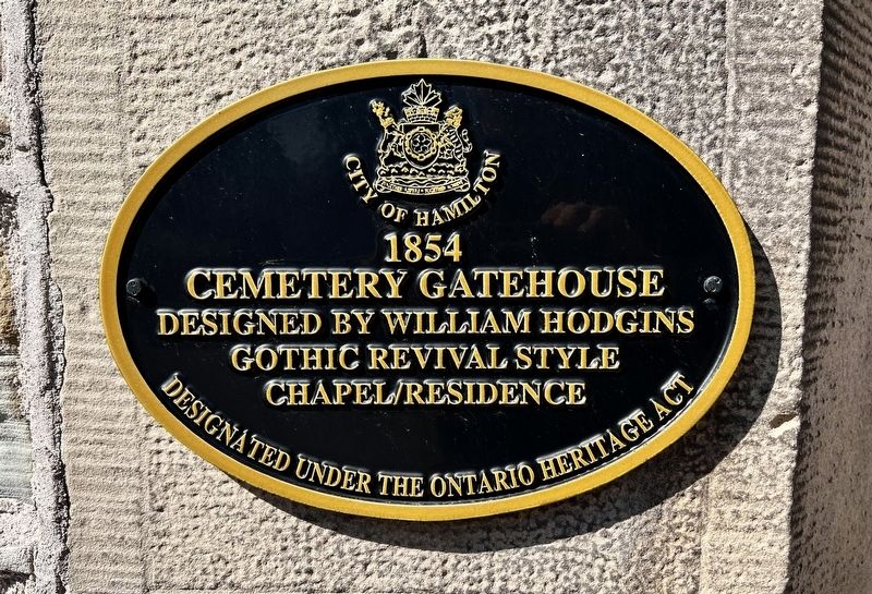
1854
Photographed by Tim Boyd, March 27, 2025
1. Cemetery Gatehouse Marker
Designed by William Hodgins
Gothic Revival style
Chapel/Residence
Designated under the Ontario Heritage Act
Erected by City of Hamilton.
Topics. This historical marker is listed in these topic lists: Architecture • Cemeteries & Burial Sites. A significant historical year for this entry is 1854.
Location. 43° 16.26′ N, 79° 53.227′ W. Marker is in Hamilton, Ontario. It is in Strathcona. It is on York Boulevard 0.4 kilometers west of Dundurn Street North, on the right when traveling east. Touch for map. Marker is at or near this postal address: 604 York Boulevard, Hamilton ON L8R 3H1, Canada. Touch for directions.

Regionally, this marker is on Ontario’s Golden Horseshoe, in the Hamilton-Halton-Brant Area, and specifically in the Toronto Metropolitan Area. It is also in Central Canada. Globally, it is in North America, on the Great Lakes, in the Western Hemisphere, in the Western World, and in the Anglosphere. Historically, it finds itself in what was once a British colony, the Viceroyalty of New France, the Haudenosaunee (Iroquois) Confederacy, and Rupert’s Land.
Other nearby markers. At
this page online
Other markers no longer nearby. Sir Allan Napier MacNab (was approx. 0.3 kilometers away but has been confirmed missing); a different marker also named Dundurn Castle (was approx. 0.3 kilometers away but has been confirmed missing).
Also see . . . Heritage Designation of Hamilton Cemetery Grounds and Buildings (Ontario ermitage Trust). <blockquote>The Hamilton Cemetery was the first public cemetery in Hamilton and is claimed to be the first municipally owned and controlled cemetery in Canada. It opened in 1848 on a tract of land acquired from Christ's Church (part of a larger parcel purchased
Photographed by Tim Boyd, March 27, 2025
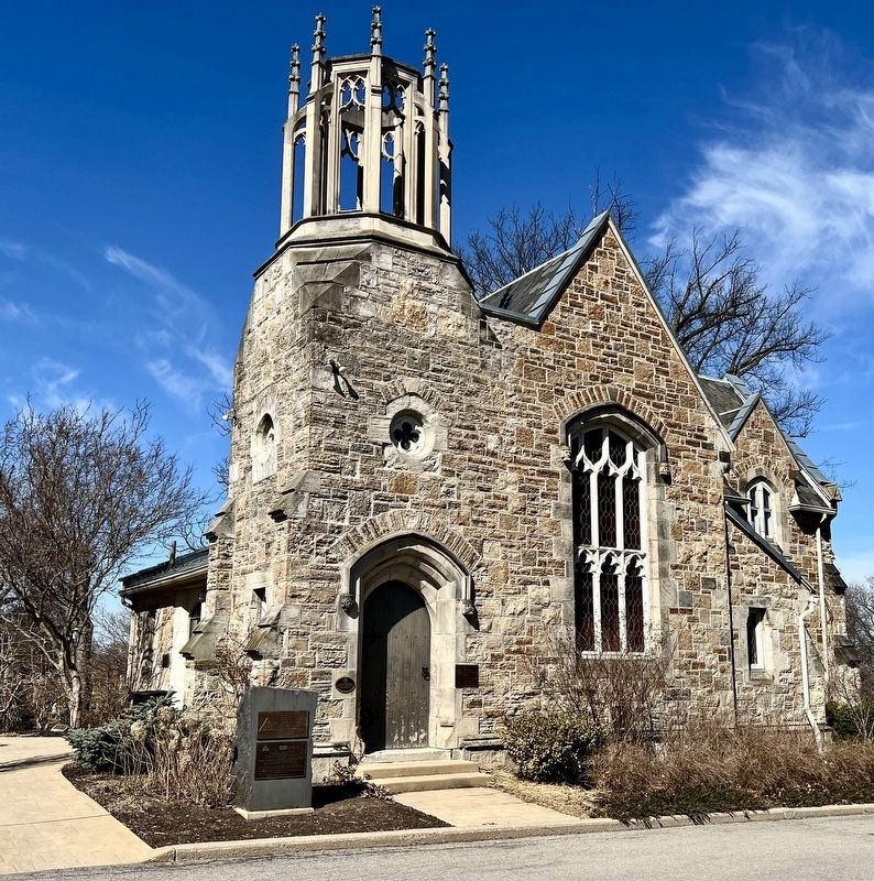
2. Cemetery Gatehouse Marker
Marker is on the left of the doorway
Photographed by Tim Boyd, March 27, 2025
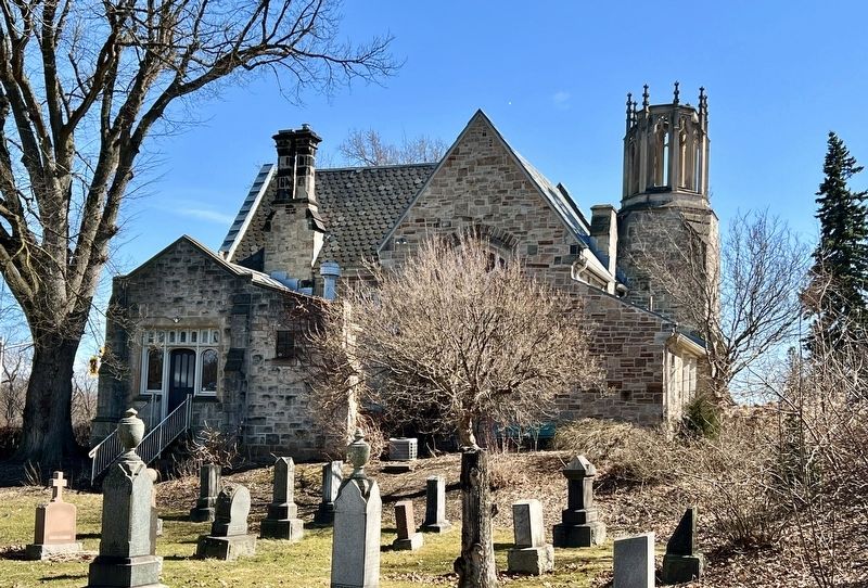
3. Hamilton Cemetery Gatehouse (west elevation)
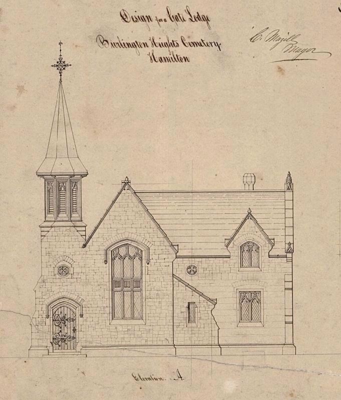
4. Cemetery Gatehouse elevation original drawing
Source: McMaster University Archives
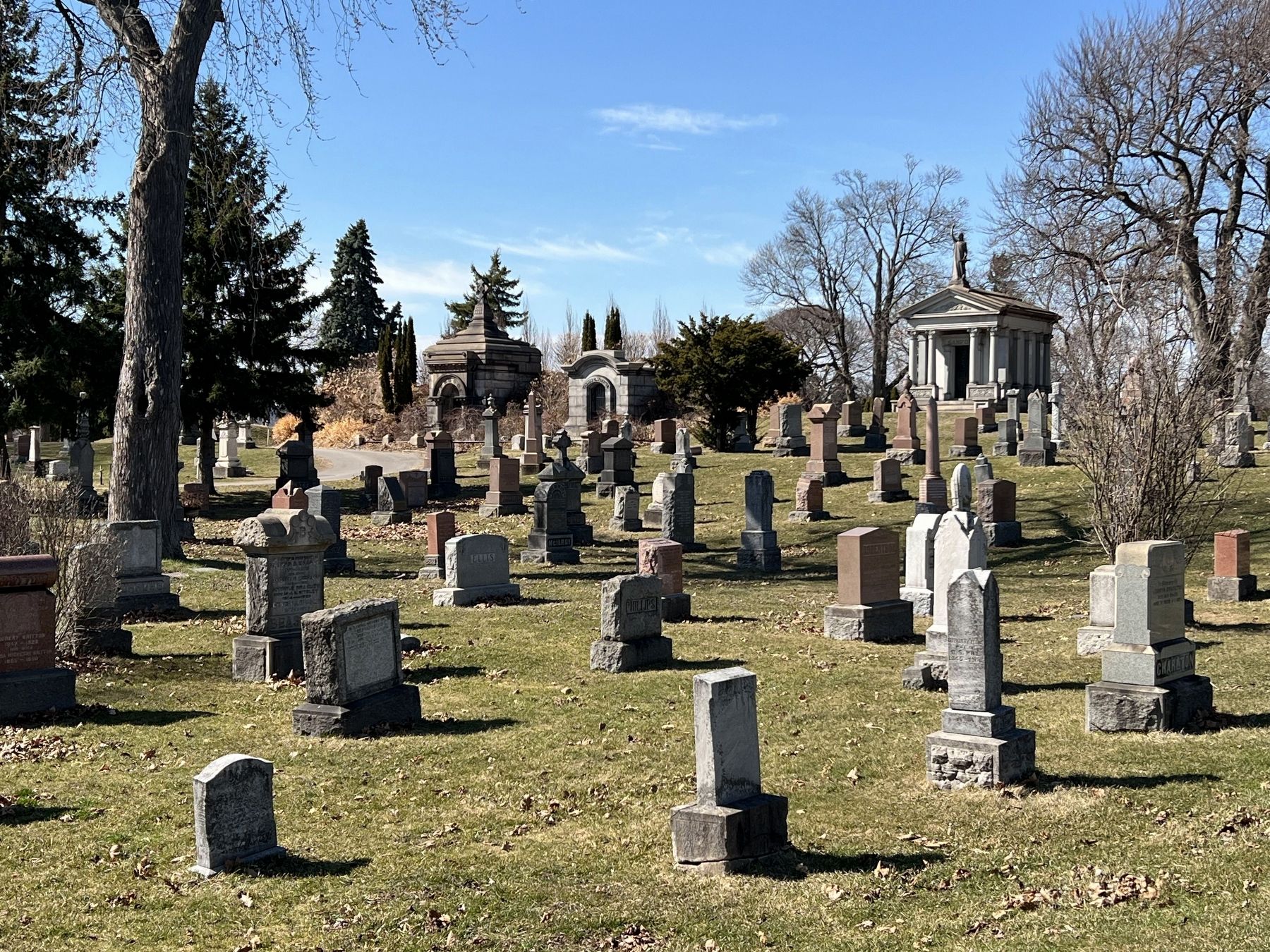
Photographed by Tim Boyd, March 27, 2025
5. Hamilton Cemetery, 2025
Credits. This page was last revised on March 28, 2025. It was originally submitted on March 28, 2025, by Tim Boyd of Hamilton, Ontario. This page has been viewed 121 times since then and 18 times this year. Photos: 1, 2, 3, 4, 5. submitted on March 28, 2025, by Tim Boyd of Hamilton, Ontario. • Andrew Ruppenstein was the editor who published this page.
