Pensacola in Escambia County, Florida — The American South (South Atlantic)
Lavallet
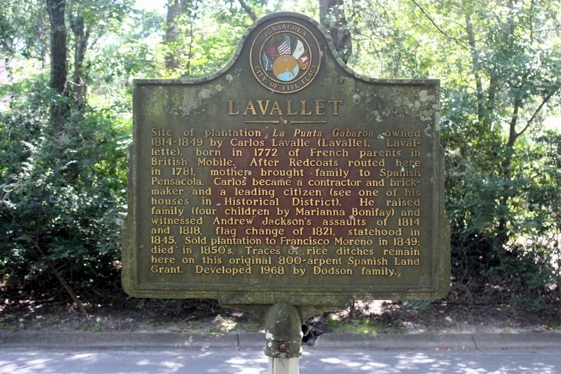
Photographed by Tim Fillmon, August 24, 2019
1. Lavallet Marker
Erected by City of Pensacola.
Topics and series. This historical marker is listed in these topic lists: Agriculture • Industry & Commerce • Settlements & Settlers • War of 1812. In addition, it is included in the Former U.S. Presidents: #07 Andrew Jackson series list. A significant historical year for this entry is 1814.
Location. 30° 28.275′ N, 87° 10.054′ W. Marker is in Pensacola, Florida, in Escambia County. It is on Velasquez Street 0.1 miles south
this page online

Regionally, this marker is on the Florida Panhandle. It is also in the American South, specifically in the Deep South, and on the Gulf Coast. Globally, it is in the North Atlantic Region, North America, a Gulf of Mexico state, the Western Hemisphere, the Western World, and the Anglosphere. Historically, it finds itself in what was once New Spain, the territory of the Mississippian Culture, one of the Confederate States of America, and the Antebellum South.
Other nearby markers. At least 8 other markers are within 4 miles of this marker, measured as the crow flies: Gaberonne (approx. 0.3 miles away); Hyer-Knowles Planing Mill (approx. 0.7 miles away); Dedicated to Julian Ole Olsen, Sr. (approx. 3 miles away); Battle and Massacre at Bayou Texar (approx. 3.1 miles away); Votes for Women (approx. 3.3 miles away); Fairnie Hill (approx. 3.4 miles away); The Yonge House (approx. 3½ miles away); Spencer Bibbs (approx. 3.6 miles away). Touch for a list and map of all markers
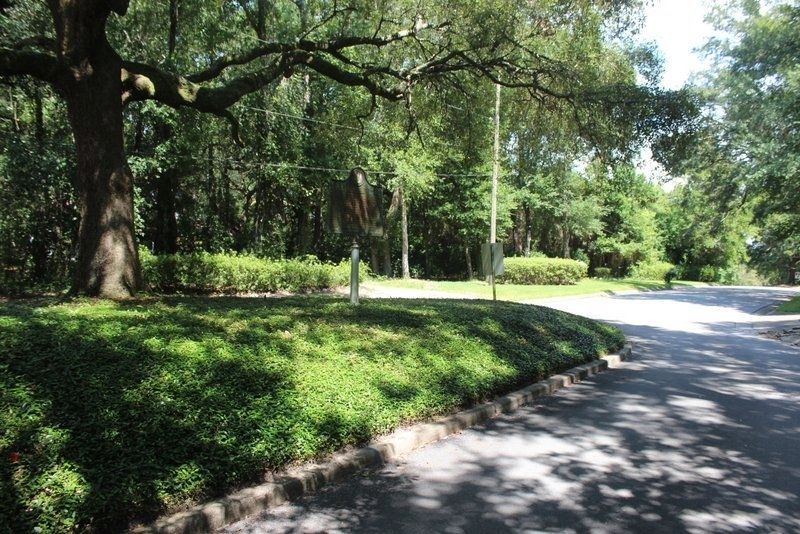
Photographed by Tim Fillmon, August 24, 2019
2. Lavallet Marker in median
Regarding Lavallet. Marker is a bit misleading. Marianna Bonifay owned the brick Factory Delavelle may have worked with Marianna but they where never married and the brickyard was owned and run by her. The actual bricks even had the name Bonifay impressed in them.
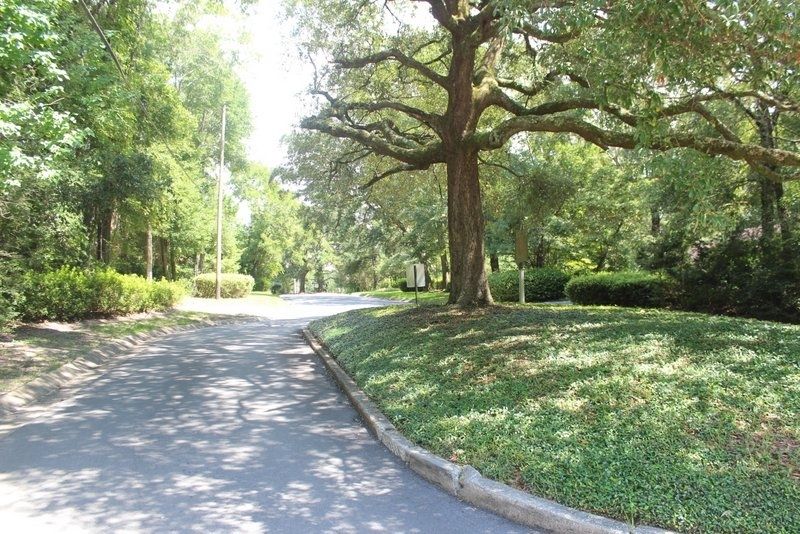
Photographed by Tim Fillmon, August 24, 2019
3. Lavallet Marker in median
Credits. This page was last revised on March 30, 2025. It was originally submitted on March 11, 2020, by Tim Fillmon of Webster, Florida. This page has been viewed 899 times since then and 67 times this year. Last updated on March 28, 2025, by William B Hinton of New Orleans, Louisiana. Photos: 1, 2, 3. submitted on March 11, 2020, by Tim Fillmon of Webster, Florida. • Bernard Fisher was the editor who published this page.
