Barbourville in Knox County, Kentucky — The American South (East South Central)
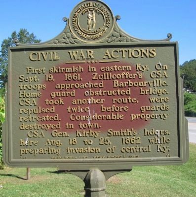
Civil War Actions
Photographed by Craig Swain, September 5, 2010
1. Civil War Actions Marker
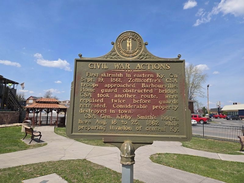
CSA Gen. Kirby Smith's hdqrs. here Aug. 18 to 25, 1862 while preparing invasion of central Ky.
Erected 1962 by Kentucky Historical Society - Kentucky Department of Highways. (Marker Number 518.)
Topics and series. This historical marker is listed in this topic list: War, US Civil. In addition, it is included in the Kentucky Historical Society series list. A significant historical date for this entry is September 19, 1861.
Location. 36° 51.998′ N, 83° 53.128′ W. Marker is in Barbourville, Kentucky, in Knox County. It is at the intersection of Daniel Boone Drive (State Highway 11) and Cumberland Avenue, on the right when traveling west on Daniel Boone Drive. Touch for map. Marker is at or near this postal address: 239 Daniel Boone Dr, Barbourville KY 40906, United States of America. Touch for directions.

Regionally, this marker is in Eastern Kentucky and in the Cumberland Plateau. It is also in
this page online
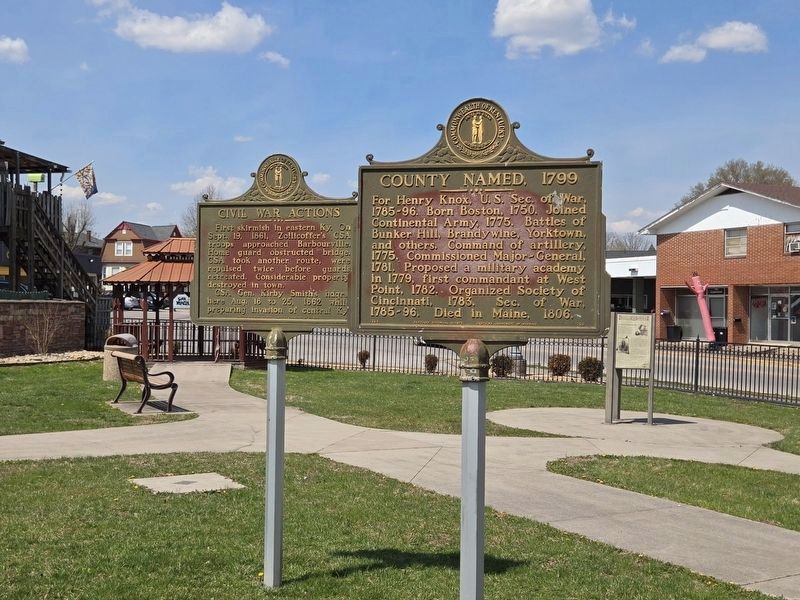
Other nearby markers. At least 8 other markers are within walking distance of this marker: The Battle of Barbourville (a few steps from this marker); a different marker also named The Battle of Barbourville (a few steps from this marker); a different marker also named The Battle of Barbourville (a few steps from this marker); County Named, 1799 (within shouting distance of this marker); First House in Kentucky (about 500 feet away, measured in a direct line); Knox County Veterans Memorial (approx. 0.2 miles away); Flem D. Sampson (1875-1967) (approx. 0.2 miles away); Daniel Boone (approx. 0.2 miles away). Touch for a list and map of all markers in Barbourville.
More about this marker. Marker was moved 550 yds west from its original location (GPS 36.86764, -83.88006).
Photographed by Craig Swain, September 5, 2010
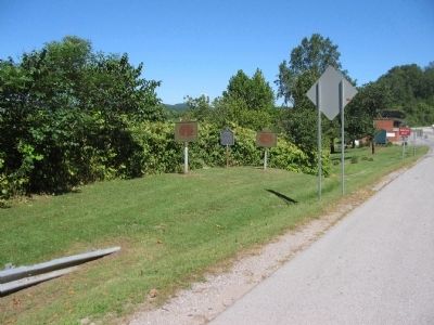
2. Markers on the Barbourville Bypass
Photographed by Mark Parker, March 28, 2025
3. Civil War Actions Marker at new location at a park in Barbourville
Photographed by Mark Parker, March 28, 2025
4. Civil War Actions & County Named, 1799 Markers at new location at a park
Cumberland Avenue in the background
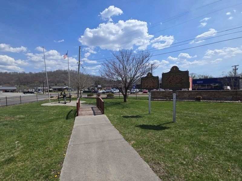
Photographed by Mark Parker, March 28, 2025
5. Civil War Actions & County Named, 1799 Markers at new location
At corner of Daniel Boone Drive & Cumberland Avenue.
Credits. This page was last revised on March 30, 2025. It was originally submitted on September 15, 2010, by Craig Swain of Leesburg, Virginia. This page has been viewed 1,216 times since then and 43 times this year. Last updated on March 29, 2025, by Mark Parker of Hickory, North Carolina. Photos: 1, 2. submitted on September 15, 2010, by Craig Swain of Leesburg, Virginia. 3, 4, 5. submitted on March 29, 2025, by Mark Parker of Hickory, North Carolina. • Bernard Fisher was the editor who published this page.
