Simpsonville in Shelby County, Kentucky — The American South (East South Central)
Fred Wiche
Born 1931

Photographed by Mark Parker, March 28, 2025
1. Fred Wiche Marker
Topics. This historical marker is listed in these topic lists: Agriculture • Entertainment • Horticulture & Forestry. A significant historical year for this entry is 1958.
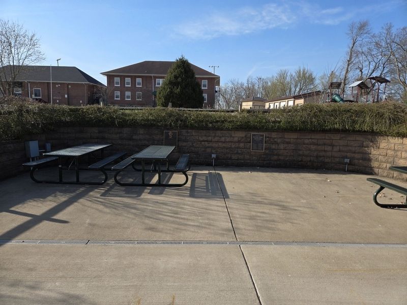
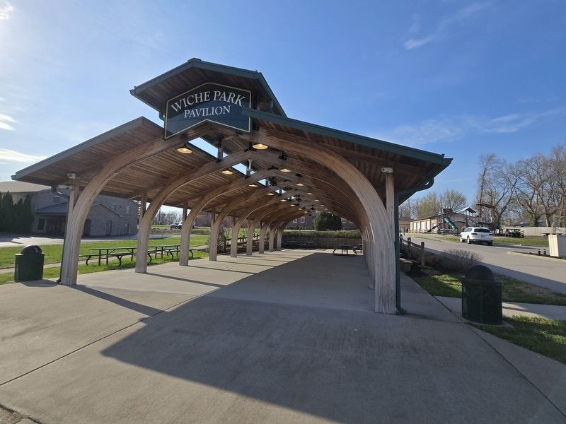
Location. 38° 13.317′ N, 85° 21.259′ W. Marker is in Simpsonville, Kentucky, in Shelby County. It is on Shelbyville Road (U.S. 60) west of Old Veechdale Road, on the left when traveling west. The marker is at the far end of Wiche Park Pavilion. Touch for map. Marker is at or near this postal
this page online

Regionally, this marker is in Greater Louisville Area. It is also in the American South and specifically in the Upper South. Globally, it is in North America, the Western Hemisphere, the Western World, and the Anglosphere. Historically, it finds itself in what was once the territory of the Mississippian Culture and also the Antebellum South.
Other nearby markers. At least 8 other markers are within 2 miles of this marker, measured as the crow flies: Whitney M. Young Jr. (a few steps from this marker); Simpsonville Methodist Church (approx. ¼ mile away); Old Stone Inn (approx. 0.4 miles away); Capt. John Simpson (approx. 0.4 miles away); "Horrible Massacre" / African American Cemetery (approx. 0.9 miles away); Whitney M. Young, Jr. (1921-1971) (approx. 1.1 miles away); Lincoln Institute Campus (approx. 1.1 miles away); Thelma L. Stovall (approx. 1.8 miles away). Touch for a list and map of all markers in Simpsonville.
Photographed by Mark Parker, March 28, 2025
2. Wide view. Fred Wiche Marker is on the left behind the picnic table.
Photographed by Mark Parker, March 28, 2025
3. Entrance of Wiche Park Pavilion. Marker is in the back.
Credits. This page was last revised on April 1, 2025. It was originally submitted on March 29, 2025, by Mark Parker of Hickory, North Carolina. This page has been viewed 535 times since then and 155 times this year. Photos: 1, 2, 3. submitted on March 29, 2025, by Mark Parker of Hickory, North Carolina. • James Hulse was the editor who published this page.
