Near Marshall in Parke County, Indiana — The American Midwest (Great Lakes)
Working In A Drift Mine
Photographed by Daniel Barriball, March 25, 2025
1. Working In A Drift Mine Marker
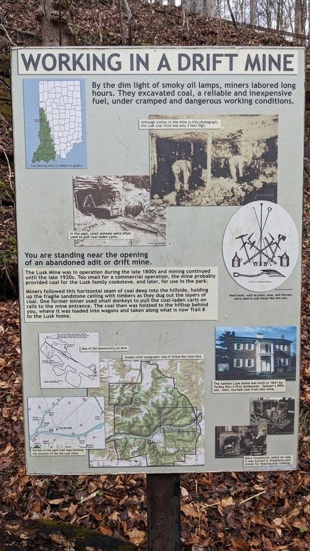
By the dim light of smoky oil lamps, miners labored long hours. They excavated coal, a reliable and inexpensive fuel, under cramped and dangerous working conditions.
Although similar to the mine in this photograph, the Lusk coal mine was only 3 feet high.
In the past, small animals were often used to pull coal-laden carts.
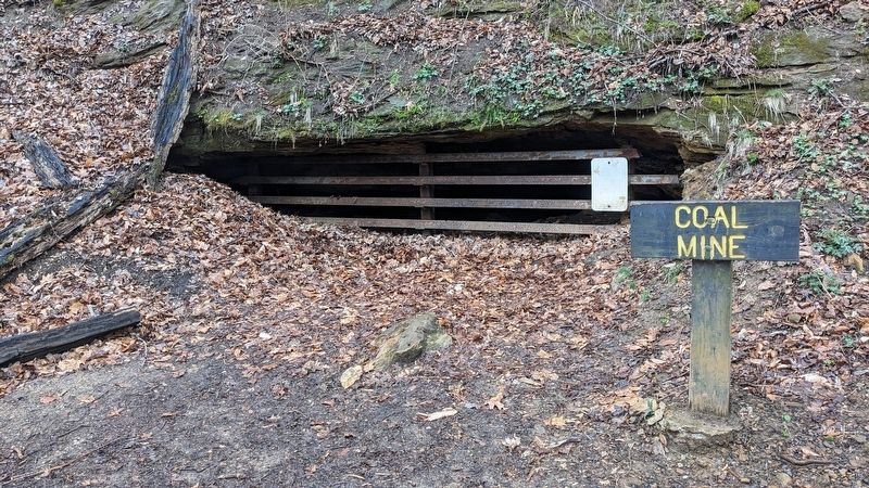
You are standing near the opening of an abandoned adit or drift mine.
The Lusk Mine was in operation during the late 1800s and mining continued until the late 1920s. Too small for a commercial operation, the mine probably provided coal for the Lusk family cookstove, and later, for use in the park.
Miners followed this horizontal seam of coal deep into the hillside, holding up the fragile sandstone ceiling with timbers as they dug out the layers of coal. One former miner used small donkeys to pull the coal-laden carts on rails to the mine entrance. The coal then was hoisted to the hilltop behind you, where it was loaded into wagons and taken along what is now Trail 8 to the Lusk home.
Topics. This historical marker is listed in these topic lists: Industry & Commerce • Parks & Recreational Areas • Settlements & Settlers.
Location. 39° 53.385′ N, 87° 11.795′ W. Marker is near Marshall, Indiana, in Parke County. It can be reached from Park Road, on the right when traveling west. This marker is along Trail 4 in Turkey Run State Park. Touch for map. Marker is in this post office area: Marshall IN 47859, United States of America. Touch for directions.

Regionally, this marker is in Central Indiana and in the Wabash Valley. It is also in the American Midwest and in the Corn Belt. Globally, it is in North America, the Western Hemisphere, the Western World, and the Anglosphere. Historically, it finds itself in
this page online
Other nearby markers. At least 8 other markers are within walking distance of this marker: Life After Mining (here, next to this marker); Arthur C. Newby (approx. 0.2 miles away); The Lusk Home (approx. 0.6 miles away); The Lusk Family (approx. 0.6 miles away); Welcome to the Turkey Run Inn (approx. 0.6 miles away); Turkey Run (approx. 0.6 miles away); Turkey Run: Cradle of State Parks (approx. 0.6 miles away); Juliet Strauss Memorial (approx. 0.6 miles away). Touch for a list and map of all markers in Marshall.
More about this marker. Tools photo caption: Hand tools, such as picks, axes, and shovels, were used in coal mines like this one.
Lusk home photo captions: The Salmon Lusk home was built in 1841 by Turkey Run's first landowner. Salmon's fifth son, John, burned coal from this mine.
Many households relied on coal. It was burned in fireplaces and stoves for heating and cooking.
Maps photo captions: Shaded relief topographic map of Turkey Run State Park
Portion of the park trail map showing the location of the old Lusk mine.
Map of
Photographed by Daniel Barriball, March 25, 2025
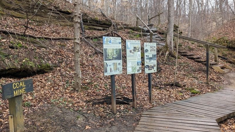
2. Working In A Drift Mine Marker in context
Related markers. Click here for a list of markers that are related to this marker.
Photographed by Daniel Barriball, March 25, 2025
3. Coal Mine
Credits. This page was last revised on April 17, 2025. It was originally submitted on March 29, 2025, by Daniel Barriball of Chesterton, Indiana. This page has been viewed 229 times since then and 49 times this year. Photos: 1. submitted on March 29, 2025, by Daniel Barriball of Chesterton, Indiana. 2, 3. submitted on March 30, 2025, by Daniel Barriball of Chesterton, Indiana. • Devry Becker Jones was the editor who published this page.
