Manayunk in Philadelphia in Philadelphia County, Pennsylvania — The American Northeast (Mid-Atlantic)
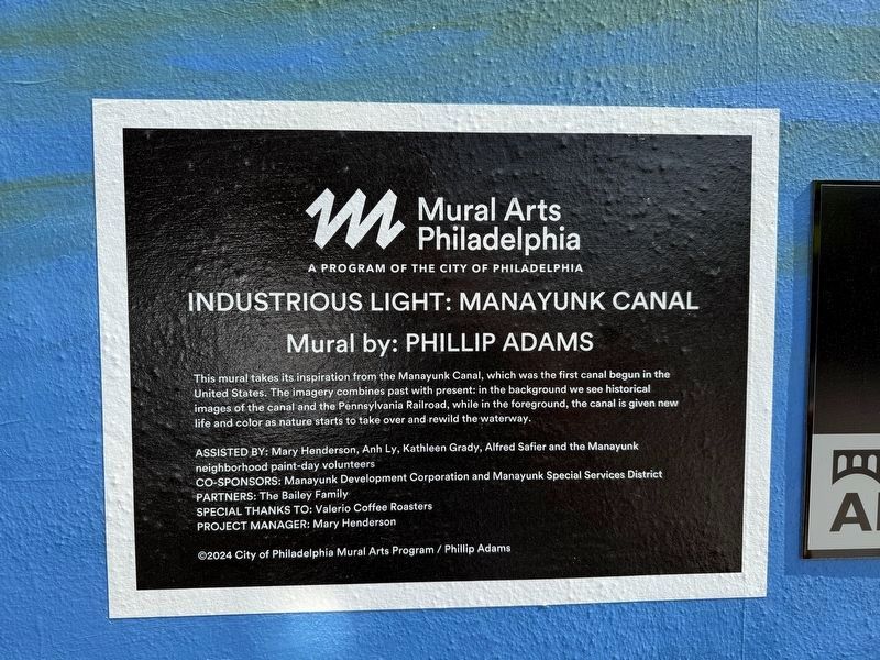
Industrious Light: Manayunk Canal
Mural by: Phillip Adams
| — | Mural Arts Philadelphia, a program of the City of Philadelphia | — |
Photographed by Devry Becker Jones (CC0), March 29, 2025
1. Industrious Light: Manayunk Canal Marker
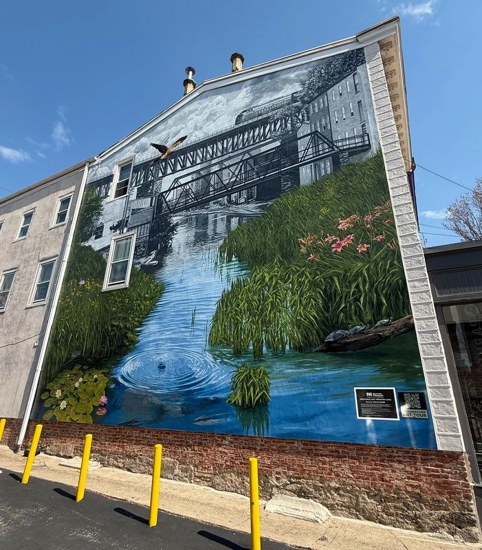
This mural takes its inspiration from the Manayunk Canal, which was the first canal begun in the United States. The imagery combines past with present: in the background we see historical images of the canal and the Pennsylvania Railroad, while in the foreground, the canal is given new life and color as nature starts to take over and rewild the waterway.
Erected 2024 by City of Philadelphia Mural Arts Program; Phillip Adams, muralist.
Topics. This historical marker is listed in these topic lists: Industry & Commerce • Railroads & Streetcars • Waterways & Vessels.
Location. 40° 1.556′ N, 75° 13.466′ W. Marker is in Philadelphia, Pennsylvania, in Philadelphia County. It is in Manayunk. It is at the intersection of Main Street and Levering Street, on the left when traveling east on Main Street. Touch for map. Marker is at or near this postal address: 4373 Main St, Philadelphia PA 19127, United States of America. Touch for directions.

Regionally, this marker is in Southeast Pennsylvania. It is also in the American Northeast and in the Mid-Atlantic. Globally,
this page online
Other nearby markers. At least 8 other markers are within walking distance of this marker: Welcome to Manayunk (about 300 feet away, measured in a direct line); Lower Venice Island Paper Mills (about 500 feet away); Venice Island (approx. 0.2 miles away); The "S" Bridge & The Manayunk Bridge (approx. 0.2 miles away); The Spaventa Switchback (approx. 0.2 miles away); Sevill Schofield's Economy Mills (approx. 0.2 miles away); Transportation Corridor in Transition (approx. ¼ mile away); Pencoyd Iron Works (approx. ¼ mile away). Touch for a list and map of all markers in Philadelphia.
Credits. This page was last revised on March 30, 2025. It was originally submitted on March 30, 2025, by Devry Becker Jones of Washington, District of Columbia. This page has been viewed 122 times since then and 15 times this year. Photos: 1, 2. submitted on March 30, 2025, by Devry Becker Jones of Washington, District of Columbia.
