Old Montreal in Montréal, Québec — Central Canada (French-Canadian)
Gédéon de Catalogne
Photographed by Cosmos Mariner, May 20, 2024
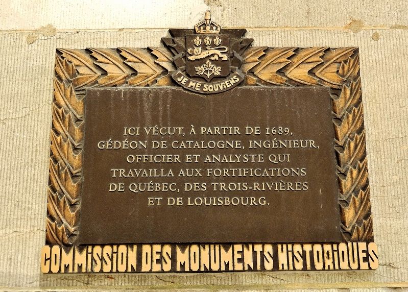
1. Gédéon de Catalogne Marker
 Ici vécut, à partir de 1689, Gédéon de Catalogne, ingénieur, officier et analyste qui travailla aux fortifications de Québec, des Trois-Rivières et de Louisbourg.
Erected by Commission des monuments historiques / Historic Monuments Commission.
Topics. This historical marker is listed in these topic lists: Colonial Era • Settlements & Settlers. A significant historical year for this entry is 1689.
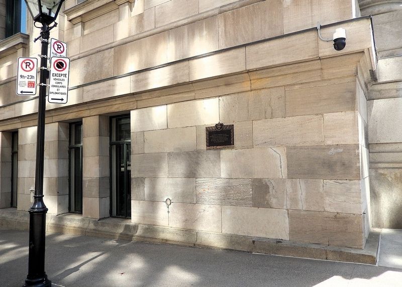
Location. 45° 30.45′ N, 73° 33.261′ W. Marker is in Montréal, Québec. It is in Old Montreal. It is at the intersection of Rue Notre-Dame Est and Rue Saint-Vincent, on the right when traveling north on Rue Notre-Dame Est. The marker is mounted at eye-level near the northwest corner of the Ernest-Cormier Building/Quebec Court of Appeal, facing Rue Saint-Vincent. Touch for map. Marker is at or near this postal address: 100 Rue Notre-Dame Est, Montréal QC H2Y 3A7, Canada. Touch for directions.

Regionally, this marker is in Central Canada.
this page online
Other nearby markers. At least 8 other markers are within walking distance of this marker: La Rue Saint-Vincent (a few steps from this marker); St. Andrew's Society of Montréal (within shouting distance of this marker); L'Hôtel Richelieu / Richelieu Hotel (within shouting distance of this marker); Visitors Center (within shouting distance of this marker); Ici s’élevait la maison de Simon Fraser (within shouting distance of this marker); Marguerite Bourgeoys (within shouting distance of this marker); Raphaël-Lambert Closse (within shouting distance of this marker); Allée des huissiers / Bailiffs' Aisle (about 90 meters away, measured in a direct line). Touch for a list and map of all markers in Montréal.
Also see . . . Gédéon de Catalogne (Wikipedia).
Excerpt: Gédéon de Catalunya (1663–1729) was a French surveyor, cartographer, seigneur and officer. He spent most of his life(Submitted on April 2, 2025, by Cosmos Mariner of Cape Canaveral, Florida.)in New France. He arrived in New France in 1683 as a soldier and surveyor and participated in several campaigns against the Iroquois and the English.Photographed by Cosmos Mariner, May 20, 20242. Gédéon de Catalogne MarkerThe marker is mounted above eye-level, on the north facade of the Ernest-Cormier Building/Quebec Court of Appeal, near the northwest corner.
After converting to Catholicism in 1687, he obtained the rank of officer and devoted himself to surveying and building military and civilian works. In 1700 the Sulpicians, seigneurs of Montreal, commissioned him to dig a canal to Lachine (Lachine Canal), but technical difficulties prevented him from completing this task. Appointed lieutenant in 1704, he surveyed the colony's seigneuries, then drew up plans for Montreal and participated in the construction of its fortifications. Between 1707 and 1710, he produced maps of the governments of Quebec, Trois-Rivières, and Montreal with a level of detail unique under the French regime. This work made it possible to better plan the development of the colony, particularly from an agricultural point of view. From 1720 he worked on Île Saint-Jean (now Prince Edward Island) and then obtained the rank of captain (1723) with a company command at Louisbourg.
Photographed by Cosmos Mariner, May 20, 2024
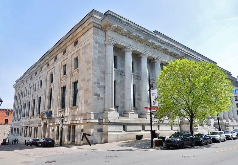
3. Ernest-Cormier Building/Quebec Court of Appeal (northwest elevation)
The marker is visible on the left/north side of the building, facing Saint-Vincent Street.
Credits. This page was last revised on April 2, 2025. It was originally submitted on March 30, 2025, by Cosmos Mariner of Cape Canaveral, Florida. This page has been viewed 173 times since then and 37 times this year. Photos: 1, 2, 3. submitted on April 2, 2025, by Cosmos Mariner of Cape Canaveral, Florida.
